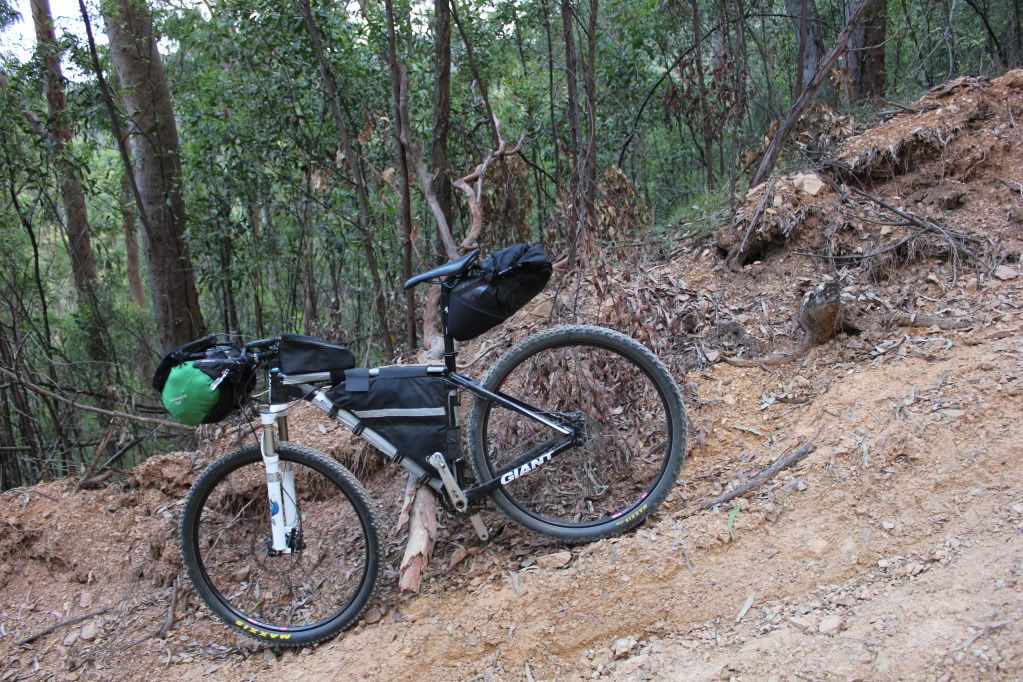
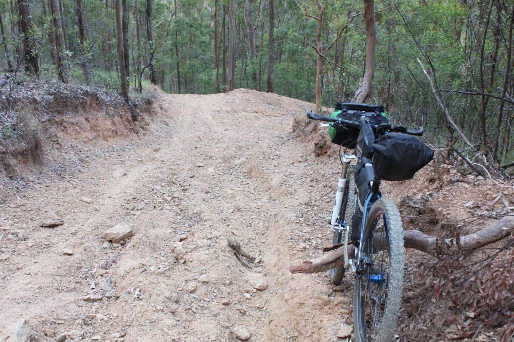
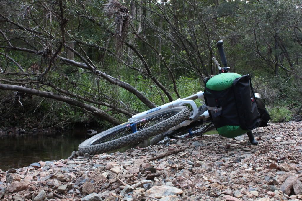
Showing posts with label Revelate Designs. Show all posts

Friday, October 18, 2013

Border Ranges Bikepacking Day 2


Well, my planned early start didn't happen.

I finally rolled out of bed at about 7:30 which is quite a sleep in for me. May have been something to do with the 152km the previous day? Anyway, I munched a couple of museli bars as I packed my kit up and pedalled off around 8:30am.


Darlington Park seemed like a very pleasant spot to stay...another time. I was heading south into the "Lost World" and was looking forward to seeing new country. Although it can't be too lost any more...it has electricity!


My legs were a bit stiff this morning but nothing worse than expected. I soon came to the Darlington Connection road which shot straight up the hillside to the west and disappeared at it's crest. The sun burnt itself into my back as I inched up the climb, dripping sweat as I crawled along. The first climb of the day is ALWAYS tough. After you get the hurt thermostat set for the day everything else seems fine...no matter if it is waaay worse. Anyway, the brake searing descent that followed soon cooled me off and it was back to motoring along valley floor again.

I passed through a small village, Hillview, that would have been a bustling place 50 years ago. Now while there are still quite a few residents, the abandoned houses tell a story of what once was. At least the community hall is in good order.


Pedalling down Christmas Creek road the undulations serve up both pleasure and pain for my tired legs. It is pretty country so the time passes quickly and before I know it I am at Stinson Park. This area is where Bernard O'Reilly made his way off the mountain looking for help for the survivors of the 1937 Stinson airliner crash. This was massive news in Australia at the time as the aviation era was still in it's infancy and Kingsford Smith, Hinkler and even that Lindberg bloke were household names. To think that a local farmer had the gut instinct and the bushcraft to just walk out into the rainforest and to actually find the three engined plane is incredible reading.

Anyway, I had read Bernard's book years ago and have always wanted to climb to the crash site to have a look for myself. It wasn't going to happen this trip, but I was going to climb up the "Stretcher" track. This is the path they brought the survivors down via. I knew it was going to be steep but wanted to make an on the spot decision once I was looking at the mountain side. The entrance to Gap Creek rd didn't look too intimidating...


But the hills surrounding me indicated something else. Very soon I was in granny gear, grinding slowly past various farm houses on what felt more like someone's driveway than a road. There were kangaroos lounging in the shade everywhere. Obviously, this was good country.


I was soon reduced to pushing my bike before I came to a gate adorned with signs.


Duly warned, I pushed onward, past some grazing cattle and then came to some old sheds and an outhouse.


Turning around, the view was fantastic!


Back to the task at hand, I tried to apply the common sense test to what I was proposing here. Initially I thought "no way can I get my bike up there".

I was at the right arrow. Check those contours!

Then I thought, "what if I just mosey up the Stretcher track to see what it looks like"?. Sure, why not? The worst that can happen is that I turn around because it is too steep.

As I started up the hill I looked back toward the sheds. The view was just getting better and better!


Arriving at the bottom of the stretcher track, it appeared to be a defined track along a small spine that ran down from the ridge line. Yeah, I could do this. So I did.


I started pushing with occasional stops to take in the view, water and some roasted almonds. The challenge of it was actually fun.


Of course, I was on snake watch big time. I soon spotted evidence of Joe Blakes but hoped that because the skin was in a small tree it would be a friendly snake. Although, we all know there is only one kind of good snake.....


Looking up the range to where I needed to be kept my enthusiasm somewhat in check.


Of course the final 20m or so of vertical were just that. VERTICAL! I had to skirt across the hillside, through the grass, to ease the difficulty but it did make it bloody hard to keep an eye out for snakes. I didn't hear any rustling which was reassuring but maybe they just weren't moving....?!?


Eventually I crested the ridge line!! It was about 10m across at the top and had a nice little line of single track running along it. Not from the cattle, but the Geocachers that frequent the hill. And the views? Fark yeah!!!


Even if I made it no further it was worth the effort so far for the view alone.The cool breeze that blew in from the east was icing on the cake. After soaking in the view I began to trace the ridge line north, toward the valley I needed to drop down into. I had tracked about 200m(yards) to the south by following the Stretcher track up but there was no option. It simply was not possible to follow my GPS line up the hill side.

I soon came to a rock outcrop that had vertical drop offs down the mountain side. The only way to climb it was by skirting around the left side, then using both hands....which made carrying a 20kg(44lb) bike pretty tricky.


I decided to leave the bike, hike over the top of the hill and walk to the spot where I needed to drop into the next valley. This would save me from pulling my gear off my bike and transporting it bit by bit possibly to find that it was in vain.


Once past the rocks it proved to be a very pleasant stroll. The ridge line flattened out into a plateau and there was a distinct track along it going right where I needed to go.

But right where I needed to go was a massively steep slope. It might take me all afternoon to find a way down, then I would have to find my way onto Jackson's Rd and across to my next hike-a-bike section along the "gazetted" Lancaster Rd. I had been applying the "is this sane" test to the whole climb so far but when I applied it here I was coming back with the answer of "probably not totally insane, but close enough that a bystander couldn't tell the difference" . Plus, the climb over the rock outcrop was stupid to attempt on my own. If there were two of us we could manhandle one bike at a time, but it just wasn't possible solo.

So, back it was to be! Not surprisingly, it was pretty easy to get down the hill. I even rode the lower section of the Stretcher track and my brakes lived to tell the tale!


Coming up with a plan for the rest of the ride I decided that my original Plan B reroute would likely be just too much extra to make my scheduled train in Casino tomorrow afternoon. I needed a Plan C.

What to do? What to do? As I filled up with water from the tank at Stinson Park I decided to back track the way I had come and ride up Duck Creek rd (not having done enough climbing today....) to O'Reilly's Guesthouse where I could camp the night then ride via Canungra, Mt Tambourine and the V1 bikeway to home. That way I could self rescue and probably would not run out of time. I did need to be home for work on Saturday morning.

I was feeling a bit flat riding back to Darlington Park. Maybe it was the fact that I had dragged my bike up a 230m(755ft) hill side after riding 35km(22mi) but I think it was probably more the disappointment at not being able to follow the plan. Perhaps the 770m(2525ft) climb that was looming had something to do with it!

I picked up some water and an ice cool icecream at Darlington Park and pressed on. I was soon heading along Duck Creek rd and at the pearly er steel gate.


It was getting late in the afternoon, I had a big climb ahead of me and I was not exactly swimming in water. I needed to keep the pace up- but not too much otherwise my thirst would suck my Camelbak dry. A delicate balancing act. So, I walked quite a few sections that I would normally ride. "Just to keep the heart rate down" I told myself.

I managed to get to the main lookout at just the right time. I caught the sun setting over Mt Barney and Mt Lindesey.


This lack of light as well as the lessening grade spurred me on. Past Luke O'Reilly's farm.


The setting sun was sending shafts of light through gaps in the rainforest canopy along here and small patches of forest floor were glowing like they were on fire. It was the most amazing thing I have seen but alas, I could not do it justice with the camera.

Once again, my tail light was pressed into service as I grovelled up the last few climbs to O'Reillys. Cresting the last climb, I jumped on the bike and began to pedal. Instead of smooth forward progress I had a bump-bump sensation. WTF?! Jumping off I soon saw the problem.


My non tubeless tyre had delaminated and the bumps would not clear the rear of the bottom bracket. I deflated the tyre some and pushed the last 1.5km into O'Reillys.

I located some much needed water, then was pleased to see that I had some service on my mobile(cell) phone and made that call to home. The drive up to O'Reillys is VERY twisty and I didn't want my lovely, by now slighly overtaxed, wife driving it in the dark so I opted to camp and she very kindly(again) agreed to drive up and pick me up first thing in the morning.

I had a great nights sleep and was up early in anticipation of my rescue truck.


When the cavalry arrived she was in great spirits and seemed to be enjoying herself very much. I mean, how could you not with a beautiful mountain road to drive, kangaroos lounging along the roadside, view that went on forever and me to pick up?!! We had a delicious breakfast at Canungra in the cafe' frequented by motorcyclists whose name escapes me before driving back to Brisbane.

Ride stats for day 2 are below.


Both days total 222km(140mi) and  4210m(13800ft) of climbing.

So, another bikepacking trip was done and dusted. Like the last, it had not gone to plan but again I was okay with that fact. The navigation this time had been spot on. That was an issue last time, so nav problem solved.

This time my issue was an ambitious route plan. I sort of knew that I would struggle with the hike-a-bike bits as I was time limited to 3 days. With another day up my sleeve I am sure it would not have been a problem so I can wear that, although the rock outcrop was a deal breaker while solo. Some scouting rides might iron out this crinkle in my plan, but then again, they need time to undertake. 

The tyre problem was completely out of left field, though I have had it happen before, there is no way to predict when it might occur and I'm not going to put new tyres on the bike for each ride. Maybe if I was going to cross the Simpson Desert I would put new boots on. If I had pressed on westward my wife would have had an even longer drive to retrieve me. I also would have struggled to make contact as phone reception is very sketchy where I would have been that night and I really don't want to press the level 2 rescue button on the Spot.

All up I am pretty happy with how it panned out. I have learn a bunch more about bikepacking and about my own personal capabilities and that is what it is about. Getting out there into the bush, out of my comfort zone and testing one's ability to adapt and cope.


Cheers and thanks for reading.


Wednesday, June 27, 2012

Solo Bike Packing Trip


I am not sure how many posts I have started with the words "Well, it has been a while since my last post" so I will avoid it by saying "Crikey, I've been busy!"

I have had my head down, busy with work and study for sim. With sim successfully behind me for another 6 months, I resurfaced to notice a ride posted by Neil over at Musings. Neil is a regular organiser of "solid" rides here around Brisbane and having a free weekend, I was keen to attend.

Unfortunately, I had bitten off more than I could chew (as usual) by trying to fit Neil's ride around work and also incorporate it into my cunning plans. Something had to give. I made the tough decision to bail on Neil's ride, get some more sleep then head out on a solo bikepacking trip to test my gear and theories. I made the right decision as Neil's ride turned out to be very "solid".

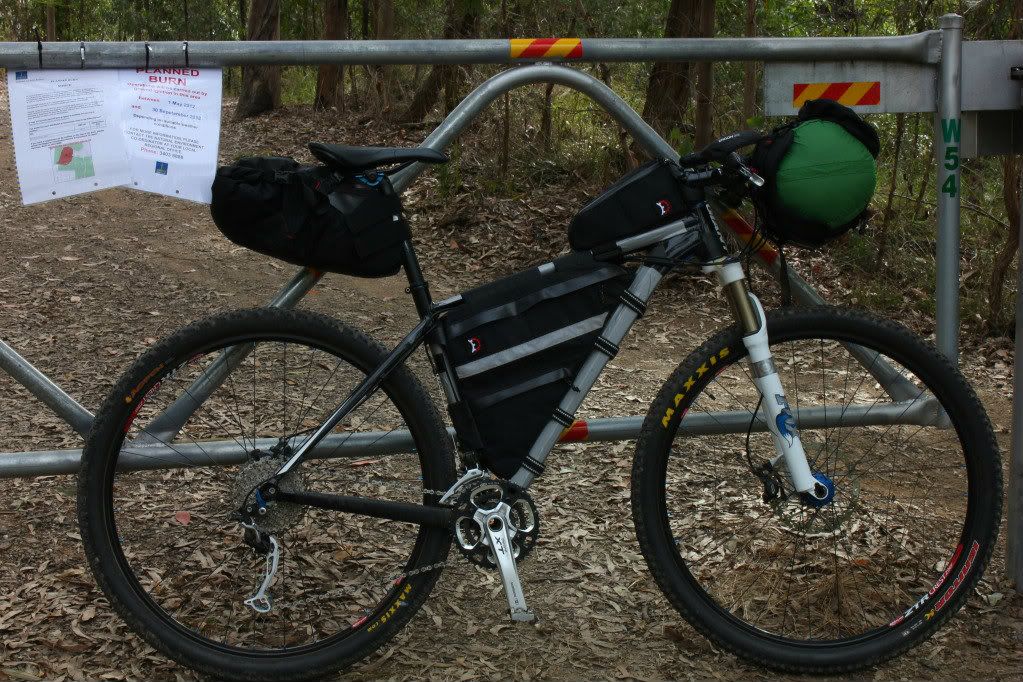
I set out around midday for Gap Creek with a loose plan to climb South Boundary Rd to Mt Nebo, then ride on into D'Aguilar National Park to eventually camp somewhere by dark. 


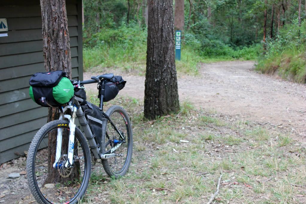
While I had packed as light as I felt safe to do so, my "normally" 11kg (24lb) bike now weighed in at 20kg (44lb) and I was tipping the scales at 90kg (198lb) with my backpack and camera gear! As there are some big hills in them thar hills, I was very afraid! But South Boundary Rd is like an old friend, almost comforting in it's 25km (16mi) and 800m (2600ft) climb to Mt Nebo.


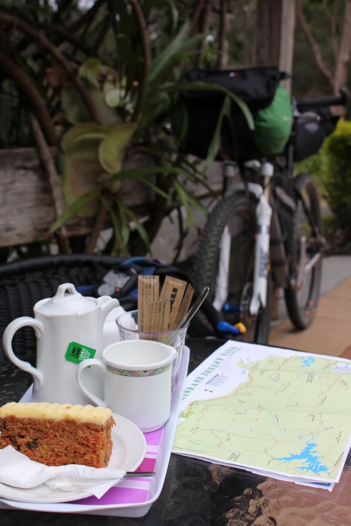
A pretty solid pedal with only a brief photo stop at the shelter saw me at the cafe' for a warming cup of tea and some carrot cake. Did I mention it was overcast and reasonably cold for Brisbane?


While sipping tea I perused my maps for an answer to my half asked question, "where do I go?" The tea leaves told me to head up Hammermeister Rd (just because I love that name!) then down Dundas Rd, Goodes Rd, The "Side" track onto England Creek Rd and England Creek Camp. 


An unknown factor was how much distance I could cover before dark. While I had lights, I wasn't overly keen on riding unknown trails and setting up camp in the dark. This was to be a proving run of sorts, after all.


One thing I found was that reading from a map, and a "stylised" map at that, progress was slow. Following a gps trace is obviously much easier and quicker but I had forgotten how much so. Having to constantly stop at every small side track to make sure it wasn't one that I needed to take was soaking up time. But then again, I had to keep reminding myself, I had all weekend and so what if it got dark? I could just camp where ever I stopped.

Then I came to a track named "Side" track. I am not sure of the grade but it must have been in the order of 30% as I lost 300m elevation in 1.1km of trail. I was struggling to walk down it. There was no question of riding down.


The camera is level in this photo as I have a small bubble level on the tripod clip, so that is the actual slope. Talk about being pushed downhill by the bike!


At the bottom was a small creek that obviously swells to a massive size during large downpours. It was pleasantly gurgling over some rocks as I passed through.


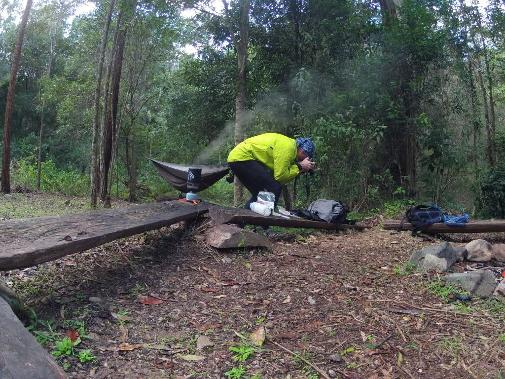
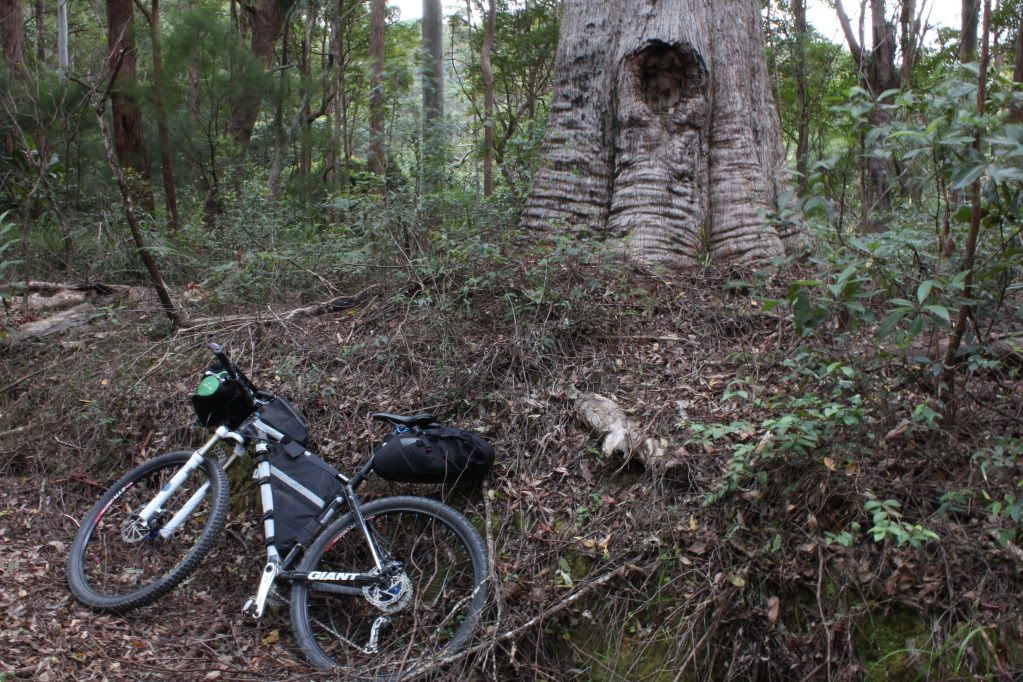
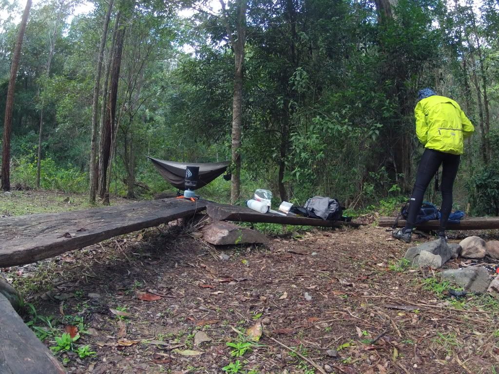
Down in this hollow it was getting a bit dark, so it was time to put my head down and try to make my "loose" objective of England Creek Camp. A bit of climbing and then some more leg pleasing descent made the distance fly by quickly. I managed to arrive at the camping spot just before dark and enjoyed the ease of setup of my Hennessey Hammock. It was up in just a couple of minutes and keeps me out of the weeds and more importantly, the snakes. I particularly like the fact that you do not need flat ground. You just need a couple of trees or poles about 4-5 metres (13-16ft) apart.


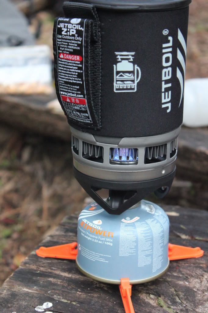
Then it was time to try out my camp stove and dehydrated meal. I must admit, when I last hiked I was a 13 year old boy scout with a cracking voice and no idea about much at all. Dehydrated camp meals didn't exist and excellent little camp stoves like the JetBoil were a distant dream of some visionary. Maybe humping all of the heavy crap that we had in the early eighties helped turn me off the hiking experience? Certainly, all of this uber light, well thought out modern kit has helped hook me back into that world.


It is simply amazing how fast this little stove will boil a cup of water. By the time I turned around, it seemed to be boiling! The Morroccan Lamb meal turned out to be very tasty with some added sultanas. And I wasn't even particularly hungry due to the modest 42km (26mi) ride so far.


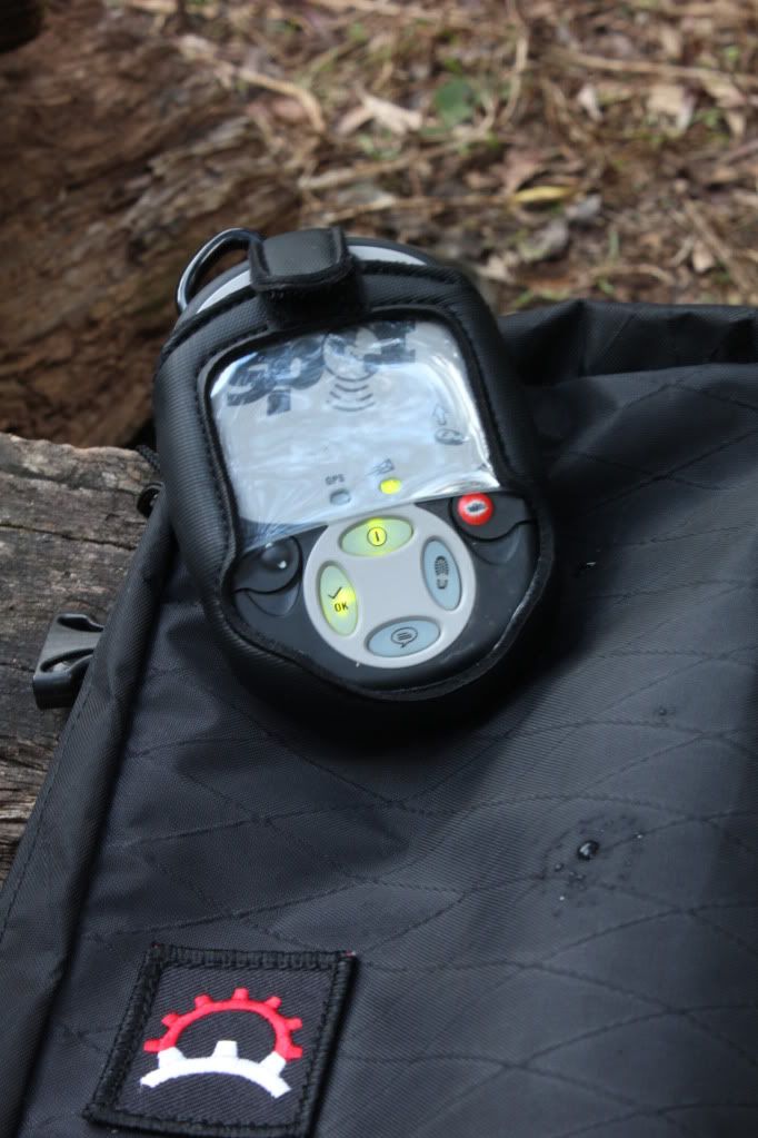
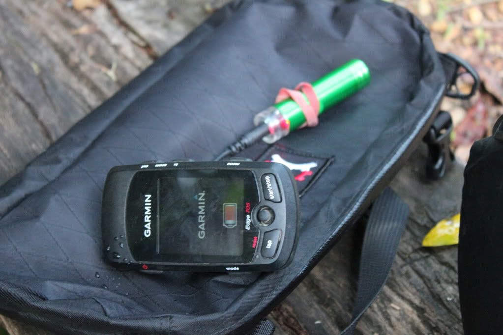
 Coming on a solo ride like this might seem a bit irresponsible when my wife was interstate and I didn't have a firm route, but I was able to check in via my Spot Tracker. While I hoped that the green lights meant that my position was being uploaded to someone that cared, the reality was that I make a point of taking measured risks and currently all was ok. The Spot is primarily if things go pear shaped and I need a bit of a rescue......

The night proved to be pretty cold for the sub tropics and in my little hollow it was down into single digits. One of the criticisms of the hammock is it's lack of insulation and sure enough, my back felt like it was hanging out of bed all night despite the rest of me being on the verge of sweating. Not very conducive to good sleep! The light rain that fell all night wasn't a bother with my cocoon remaining dry. The comfort factor was pretty high apart from my back though and I didn't have to fight off any snakes, so I will persevere and look into some insulation for the hammock.

It was bloody cold in my little hollow the next morning and some hot porridge and coffee certainly got me going. Once again the Jetboil had the water piping in less than no time and I was able to warm my hands on a strong black coffee.


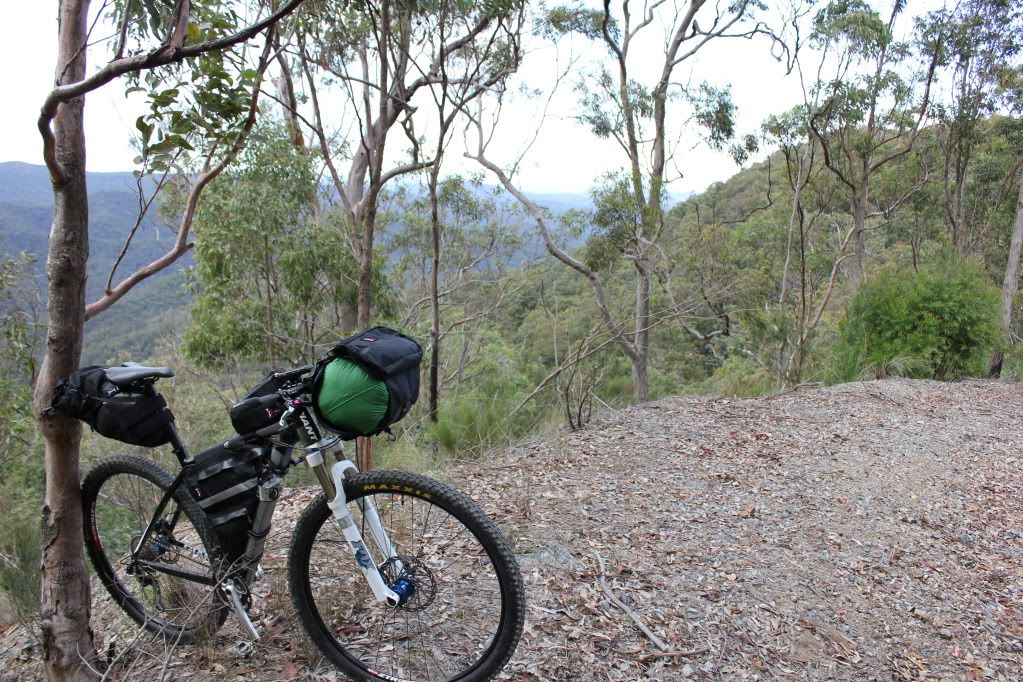
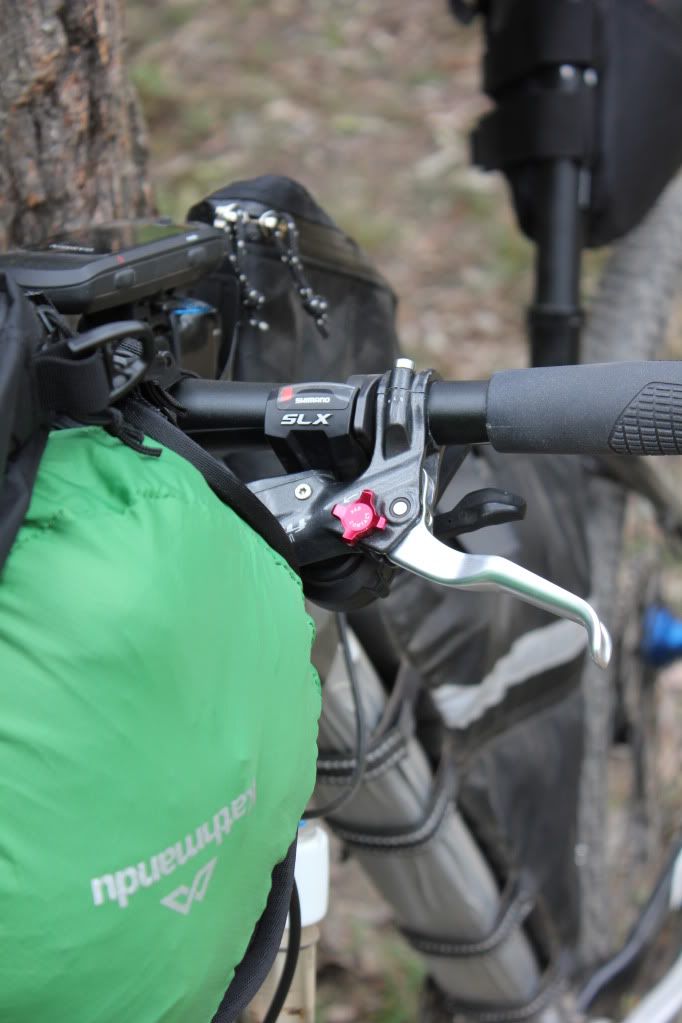
Packing up I stuffed the hammock into my seat bag to cut down on the weight on my handlebars. I had found yesterday that my hammock and sleeping bag were too much weight on my bars and made the steering seem ponderous and a bit frightening at speed.

Rugged up for the cold, I quickly warmed up as the ride out of England Creek was all uphill. Very soon I was stripping off layers and my legs were protesting from the effort.


Climbing 350m in the first 5km was a great way to warm up on a cold morning like this and after the first descent of the morning, with it's associated chill, I developed a new appreciation for slogging uphill at 5km/h (3mph).

My plan for today was to head north up England Creek Rd then turn east along Lawton Rd. Lawton Rd had been reported closed last year after the torrential rains of January caused land slips which cut the road. I figured that some repairs would have been effected by now and anyway, you don't need much trail to get a mountain bike through....

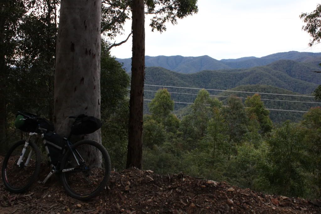
Climbing up toward Northbrooke Mountain the road skirted some ridge sides with magnificent views to the west over Wivenhoe Dam.


Coming to the intersection with Lawton Rd I was met with a very weathered "Road Closed" sign and a trail covered in much leaf litter. It certainly didn't look like anyone was using the road. Hmmm. It was a very long way to go back so I thought I would at least have a look. Of course the first few kilometres were steeply downhill and I was very concious of the climb back out if the road was impassable.


I soon came to some slips that had cut the road to half it's usual width but I also noticed that there was a slim trail where walkers, MTBers and dirt bikers had been using the road. A great sign!

Then I came to a huge slip that had taken the entire road away and was about 50ft deep and 30ft across! Bugger! I really didn't want to have to go back otherwise I would be out here all day and half the night. So I dropped the bike and had a bit of a scout around the edge of the slip and found a sketchy, narrow little path across. Testing it out, I left my backpack there and went back to get the bike. Most of the crossing was made across a tangled mass of fallen timber but there was a 6ft section where the tread was about 4 inches wide with nothing to hold onto and a huge drop into the slip on my left. Slightly heart in mouth I managed to manhandle the bike across, all the time hoping that there were not more of these further along the road.


As it turned out, this was the final hurdle and I happily climbed Lawton Rd toward Mt Glorious Rd, where I could hear the buzz of motorcycles echoing around the hillsides.


As I stood here at the gate to Lawton Rd several dozen motorcycles whizzed past. Mt Glorious Rd is one of THE roads to ride your road bike in the Brisbane area. With it's litterally hundreds of bends through the forest and several coffee shops along it's length it is a magnet for motorcyclists....and it was Sunday morning.

For me, the tough part of my ride was over. I rolled along the sealed road quickly. I stopped for a coffee and some eggs on toast which filled the hole I had created by climbing out of the forest. I was surprised to feel how cold it was when I emerged from the coffee shop and rugged up again with my bright yellow rain jacket. This would prove to be an important safety move.

Shortly after getting back on the road I was almost T-boned by a stupid woman in a people mover who was far too intent on getting into a parking place on my side of the road than looking to see if there was any oncoming traffic. "Sorry, didn't see you"!! I couldn't have been more visible in my "rescue yellow" rain jacket and suggested this to her. All I got was two fingers up from her though. So much for her being sorry she nearly ran me over and made my children fatherless. I almost pointed this out when I noticed a baby in the back seat of her car. How do you make these morons responsible for their action behind the wheel.

Anyway, I was buzzing with addrenaline and completely forgot to stop and take some photos of the 100 or so motorcycles that were lining the road outside the coffee shop at Mt Glorious!! I will have to come back on the R1 another sunday morning and soak up the atmosphere.


Turning on to South Boundary Rd I had the feeling that I was "almost home". Funny how this road is now becoming so familiar and comforting despite the 25km and 400m of climbing that still lay in front of me!

Rolling through Gap Creek I had the trails to myself, with no other riders around. On arrival back at the car I had covered 93km (58mi) with 3000m (10 000ft) of climbing for the weekend. My legs were feeling pretty well toasted as I had smashed it down Sth Boundary Rd.

Once I arrived home and checked in on Neil's ride on saturday I was glad I had not added Harding's Paddock and Flinder's Plum to my ride as they covered 50km (31mi) and also did about 1600m climbing. However, with some good rest pre-ride, maybe I could cobble together a route which takes in both of these areas......


As a test of my bikepacking gear the ride had been a success. I had packed about the right amount of food and clothing. The bike handled well enough being loaded up as well. I do need to come up with a better option for water when out in the bush. Carrying sufficient supplies is hard work. A Steri Pen to sterilise water from the various creeks I happened across looks like a "must have" and trying to build some sort of gps trail that I can load into my gps to help speed up navigation also needs looking into.

All in all, I was very pleased with how the weekend panned out and I can't wait to get out there again!