Showing posts with label D'Aguilar National Park. Show all posts

Thursday, December 31, 2015

One Last Ride To See Out 2015


I had the day off work today so thought I had better put it to good use. No, I didn't mow the lawn. No, I didn't fix one of the two retaining walls that are falling down............Yep, you guessed it, I went for a ride!

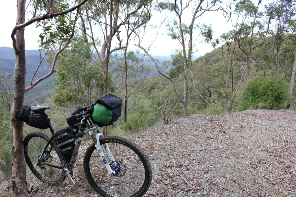
I decided that after the year that I have had it needed to be a mini Epic ride and it needed to be on the mighty Muru BNT, the bike that hauled my sorry arse down the length of the US of A with such aplomb.

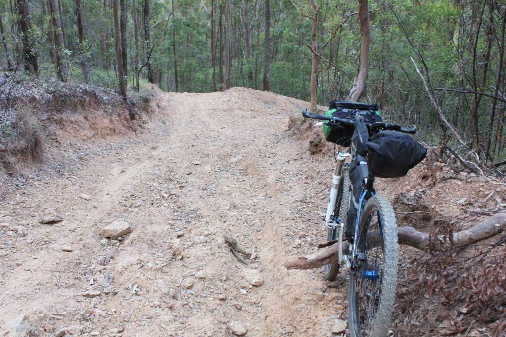
My go-to ride for something of greater length is to head just a few short kilometres (metric miles) out the back of the city of Brisbane. We are blessed in that the D'Aguilar Forest starts pretty much at Mt Cootha and extends upwards and outwards, covering a huge expanse of land that is riddled with fire roads that make for challenging and fun riding. It was my Tour Divide training ground and served me well, so I decided to start up South Boundary Road out of Gap Creek.

I was running a little behind schedule as I just couldn't get out the door but I managed to get my bum on the seat by 5:42am. I ambled along the bike way toward Gap Creek on the partially loaded Muru. Dozens of roadies whizzed past going the other way. It felt like a Sunday, not a Wednesday.


I was soon in Gap Creek and to the Echidna trail so that I could say that I had done at least one single track. What I noticed while riding Echidna was how much effort the Muru required to get it around the bends and over the step ups. I was already realising that I was really strong earlier this year due to all the Tour Divide training. Now, not so much. I keep despairing at the 12kg (26lb) that I have put on since finishing the Tour Divide in early July. 

I REALLY need a goal to train for next year. Badly...


Anyway, once out of the single track the trail goes up. And up. 1200m(3900ft) over 25km(15mi). This may not look too bad but the climbs are mostly steep pinches which test one's legs at times. 


I always enjoy the last few kilometres to the top as the forest changes from the standard dry Aussie bush to sub tropical rain forest. As I rode into the rainforest today I spied another rider coming the other way. It turned out to be Rients, another Muru BNT owning Brisbanite whom I have been speaking to about all things bike packing for about 18 months now. This was the first time we had actually met and how appropriate that it was on Sth Boundary Rd.

After a short chat Rients rolled on down the hill and I finished up my climb along the Boombana walking trail. Yes, it is a walking trail but I will not ride on the busy, winding main road just above it as I see it as just too dangerous. Every dickhead on a sports bike or sports car are testing their (mostly narrow) limits on the narrow road. No, I will take the verbal abuse about being on the trail from old ladies any day. Plus, it's right purty!


I rolled through Mt Nebo, too early for the shops to be open but it didn't matter. I had all the food and water I would need until I reached Fernvale as the climbing was mostly done now. 

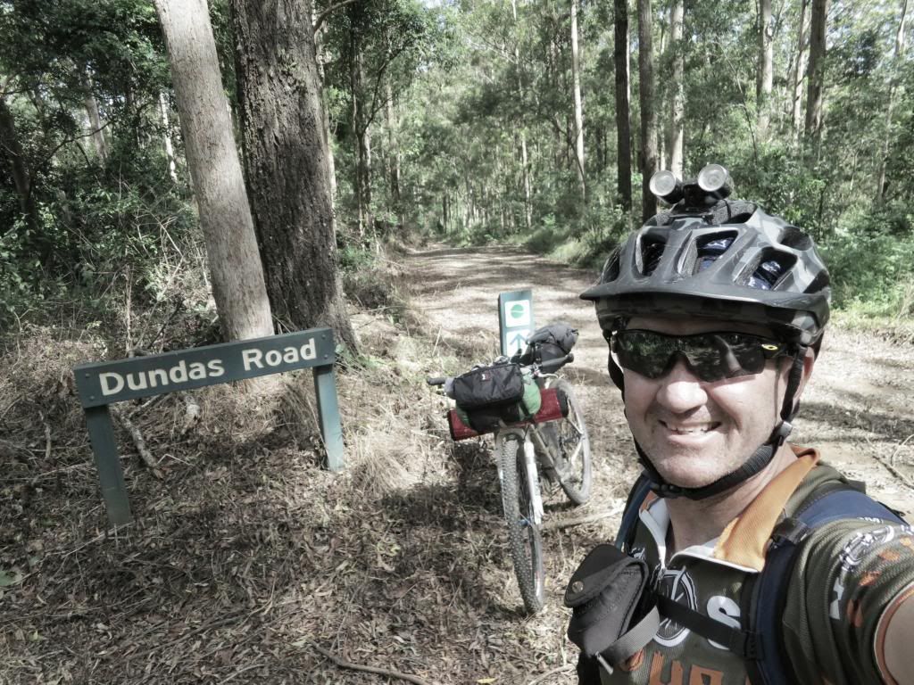
Up and over Hammermeister Rd kept me off the main road for longer and in no time I was at Dundas Rd, the fire road that heads west (and down!) through D'Aguilar Forest.


I saw a couple of dirt bikes near the water tank on Dundas Rd but they were heading down another trail so were no bother. I was soon dropping down "Whoa Boy". This is a very steep section of trail that drops 370m(1213ft) in 3km(1.8mi). Needless to say, the brakes got a great work out down here as the 5000km old front tyre was struggling to do much gripping of the trail!


Rather than drop through the "hippy camp" at the bottom, I wanted to stick to legal trail today and for the first time took the Corbould Pocket trail. It proved to be a mostly pleasant trail...well, apart from the Wall Of Dirt climb. That was a seriously steep push but was over in a few hundred metres.


The ride out to Banks Creek Road was quite steeply downhill and very rutted which necessitated some judicious bouts of hoofing it as well. How embarrassing!


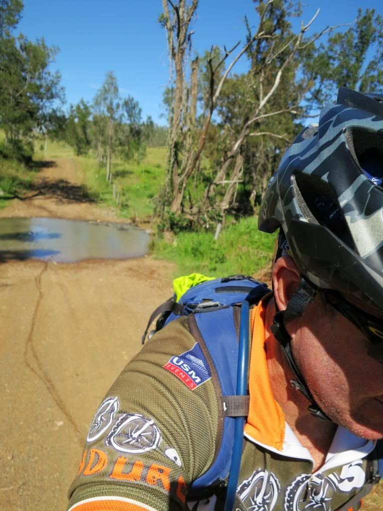
Banks Creek Rd was the usual pleasnat roll. Crossing the Brisbane river I saw many families splashing around in the shallow water. I must say, it did look like an extremely good idea.

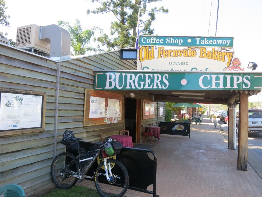
I was soon in Fernvale and headed straight into the bakery. No pie for the fat boy today though. A tasty chicken and salad roll washed down with a coffee fit the bill. 


Then it was off down the (unopened) rail trail toward Ipswich. I had ridden this section a few years ago with Deano but it still wasn't officially open and I was worried about what sort of state the surface might be in after 3 years inattention.

A few kilometres down the trail though and I bumped into Peter, the BVRT Ranger! We had a good half hour chat about all things rail-trail and he said I would be fine to ride the closed section. There was one locked section but to just throw my bike over the fence and get on with it.(this section is only closed due to bureaucratic inaction, not any real safety issue) 


So, I did. The trail was very "green" in that there was much grass on it, though, it was slashed and there was quite a bit of loose ballast stone on it. This gave me a bit of a pounding on the rigid Muru but was far better than riding on the roads, even if they were quiet. 


The many gates are mostly locked in the open position which speed things greatly. As I got closer to "the 'swich" the trail "art" became very prolific and sometimes pointed.


I eventually rolled into Ipswich and found the train station but not before crossing a very steep creek snake watering hole.


I was feeling a little worse for wear but I was very happy that all of my contact points were fine after 6 hours in the saddle. 


I have heard stories that many of the Tour Divide racers from this year are still suffering various ailments that limit their riding or enjoyment. I have sort of beat myself  up a bit these past few months, thinking that I could have gone a day or two faster if I had pushed myself a little harder during the race. 
Now, I am not so sure. I have no lasting ill effects (unless you count weight gain) and I am not sure I would be able to say that if I had pushed myself harder....

This ride proved to be a very satisfying way of rounding out what was an amazing year for me. 
2015 started with a huge goal. To train for the Tour Divide and to this end I put my head down and trained hard. It must have been serious as I even abstained from alcohol for the first 7 months of the year and I must admit, I never felt better for it!

Regular readers were no doubt bored with all of the TD related posts but my blog gave me a place to gather my thoughts and lay out a dairy of what I did and when. So thanks for bearing with me on that front. I have been a bit bereft of ideas since then. Well, that isn't strictly correct. Nothing much seems worth blogging about after such a mind blowing year!


My stats for the year were 9,193km (5712mi) ridden with about 133 000m (436 000ft) of climbing. That doesn't count the many hours I sat on a crappy hotel gym bike while away on overnights with work.

So, readers, in the never ending hunt for content (and reigning in my expanding girth) I will be setting a goal for early next year that will give me the structure and thus drive that I seem to have been lacking these last 5 months. Watch this space.....


Happy New Year and see you in 2016!


Cheers and thanks for reading.


Monday, April 29, 2013

SEQ Bike Packing Trip Part 4


....continued from Part 3....


Not setting an alarm and just waking up with first light worked a treat. I felt pretty refreshed after another ten hours sleep. I don't know how the Tour Divide riders do it on four hours sleep a night! They ride about double my daily distance and at elevations up around 8 to 10 000ft.


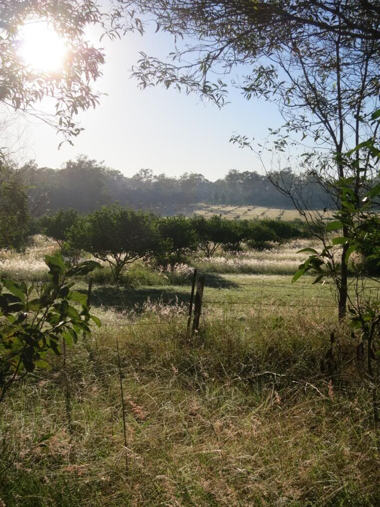
I was packed up quickly and with an eye on some breakfast in Fernvale, about 40km(25mi) distant, started pedalling into the rising sun.


I had indulged in the pure luxury of clean, DRY socks this morning and they felt great! Yep, they felt great for about the first 3km until the long grass, wet with dew, proceeded to soak them. They were saturated by about the 4km mark.

Still, it was a beautiful, clear morning and it was a pleasure to be on the bike again.


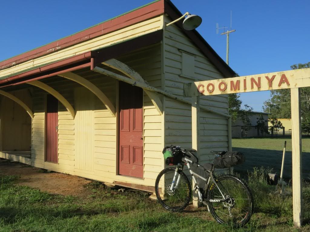
I was into and out of Coominya pretty quickly. I didn't even stop in at the shop this time. Surprisingly I didn't feel hungry at all. After being ravenously hungry on the first two days, by day 3 and 4 my hunger seemed pretty much back to normal. Maybe I was acclimatising to the riding?


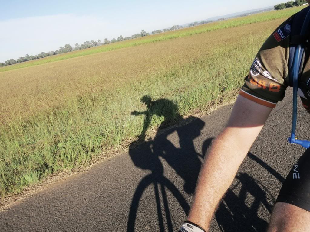
Being mostly a gentle downhill ride I was making good time while the shadows were still long.


Just outside of Lowood I spotted another rider coming toward me. I wondered if Dean0 had wagged school and come out for a ride. Then I could see that the guy had a roll on his bars and a seat bag. Total overkill for a day ride so it must have been someone else.

It turned out to be a guy called Gavin. He had ridden from Nerang the previous day and was heading to Esk today, then back down to Nerang. He said a mate had talked him into doing the Tour Divide in the US this June and he was trying to get a few training rides into his legs. With only two months to go he was getting nervous about his lack of riding. He mentioned riding in South America and from his lean, cyclist look, I guessed that he had some reasonable experience at long distance riding and would know what he was up against. Good luck Gavin!

After chatting for 20 minutes or so I was a bit behind schedule now. I steamed into Fernvale intent on rustling up some eggs on toast and a decent coffee. This I managed to do at the fine establishment below.


Just don't be in any hurry when you order. On the bright side I had plenty of time to refill my Camelbak, oil my squealing chain and even phone home before breakfast arrived.

As I said, I have done this section of the ride several times and it is amazing how much local knowledge improves your judgement. I was soon powering along Banks Creek Rd toward D'Aguilar National Park, taking in the (deep) creek crossings and only slightly worried about passing through the "hippy" camp at the end of the road.


Not that the hippys are unfriendly. I just don't like going through private property uninvited. I wouldn't like a bunch of riders just cutting through my yard either.

Anyway, arriving at their gate I found it wide open with evidence that a car had driven out. "Good", I thought to myself. "Nobody around, so I'll just slip through unnoticed". Well, that was until some mean 'ol dog began barking at me. There was no way I was going to slip past him!

Soon a guy came out to see what the ruckus was about. I waved and explained that I was just going up to the national park and would he mind if I passed through his block, including in my explanation that the couple at the top of the block had offered an open invitation to come through any time. He said "sure, no problem" then we chatted for a while about the weather, my bike and living on his block. I have forgotten his name, but if you are riding out this way, make sure you say a friendly "Hi" to the owners and ask permission to pass through.

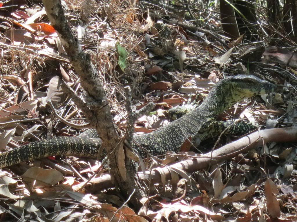
Barking 'ol dogs behind me, it was now the tranquility of D'Aguilar National Park that I heard. Plus my gasping for breath. I was making my way up "Whoa Boy", the notoriously steep climb/descent that is at the end of Dundas Rd. There are varying counts of the water bars that cross this track to prevent erosion. Today I played a rhyming game to help me keep track of the count as I battled up the climb and the wildlife did it's best to distract me.


It went something like "two, tie my shoe", "five, feeling alive" then 'thirty two,...um...tie my shoe", "thirty five, still alive". Yeah, I was knackered and struggling for ideas but I didn't lose the count. I got to "fourty eight, shut the gate!" and I was at the top. Therefore, I make the waterbar count 48 for the climb. That settles it......

Dundas Rd has some "rolling hills" along it's length and while I was reduced to walking up some of the really steep rollers, I mostly just stood up and mashed the pedals, single speed style. I was amazed that I could still muster this energy but also pleased to see that it netted a faster climbing speed and no pain for my legs. I was pleased to reach the rubbish tip at the top of Dundas Rd, for now the cafe's on Mt Nebo were just a few short minutes away.


A few short minutes and some considerable PAIN away that is! I don't like riding on the road up here on Mt Nebo because the road lacks any shoulder and the large number of motorbikes and cars that like to treat it as their own private race track make being a hood ornament a very real possibility. Just watch this video to see what I mean(note: not here in AUS, somewhere in California but I don't want to be that guy).


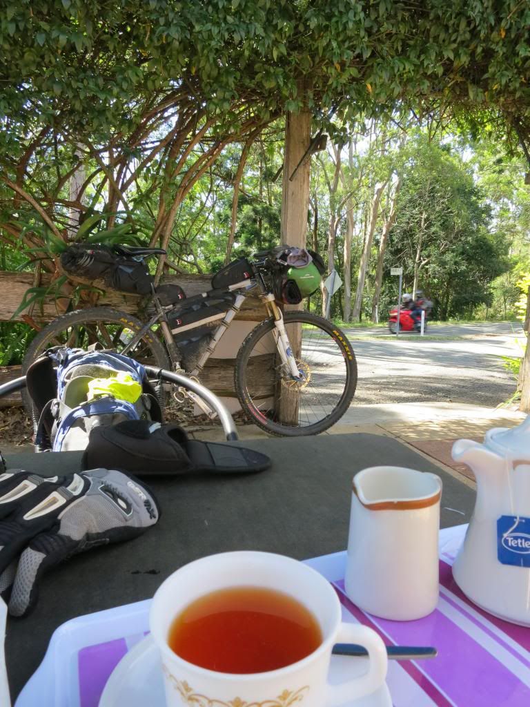
Luckily, the pain wasn't from wearing a Deadcati up the backside but because I chose to take Hammermeister Rd and avoid the main road. I was soon at the cafe' enjoying a pot of tea and the chocolate hedgehog slice that I had hauled up the hill from Fernvale bakery as a reward for making it.


The run down South Boudary Rd was fun with the top section providing big smiles as my supertanker ploughed down the hills and managed to crest the next rise without too much pedalling effort. I was pretty much head down, bum up for the next few hours as I carved through a few of the single tracks in Gap Creek Reserve. 

Hitting the streets in suburbia here is always a bit surreal after hours in the "bush" but I was pleased to be rolling along easily. I even spotted a mountain biker up ahead whom I guess was heading home from a single track session. As the road tilted up, I decided to go all "attack" on his arse and get past him. I actually managed to blast past pretty easily which was pleasing because this was the roughly the 100km(62mi) point for the day and the 480km(300mi) mark for the 4 days.( I learned later that his name was Mark. he saw the blog post on mtbdirt.com.au!)


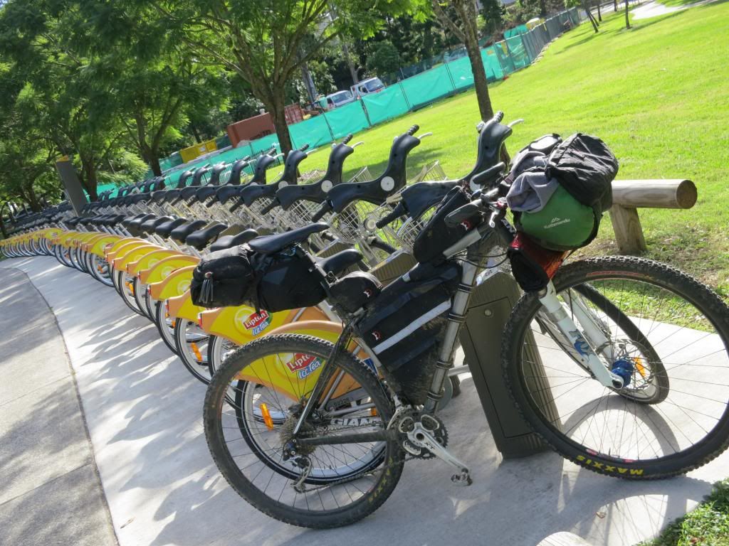
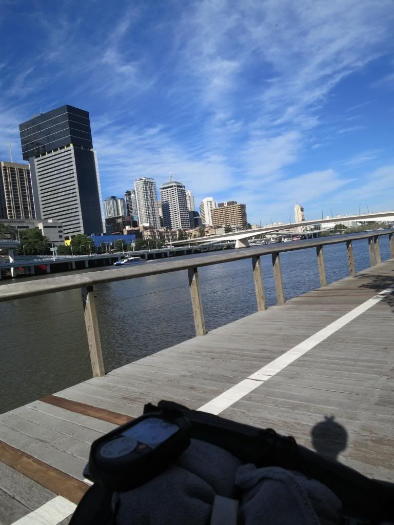
I deviated slightly so that I could ride along South Bank to take in the views and top up my water. Talk about surreal. I had been in full on "bush" just 30 minutes prior!


The run along the south east freeway was pretty mundane as usual with just a chocolate milk stop at a local petrol station where I got to witness some outstanding driving skills/attitude displays by "school mums" on their way home with the kids. Scary stuff!

I decided to finish the ride by cutting back through Daisy Hill Forest and dropping down Wallum Froglet in Cornubia. I bumped into Oppy, one of the trail building gurus here in Brisbane as he unloaded his bike for a ride in Daisy Hill and chatted (rambled like a hobo on a bike) for 20 minutes or so. Thanks for putting up with me Oppy!

The run down Wallum Froglet was pretty sweet and I stopped at the bottom to shut the GPS down and enjoy the quiet of the bush (only just heard over the tinitis from wind noise in my ears!).


I had made it home after riding 515km (322mi) and climbing 8100m (26 600ft)! When I mapped out the route I have some misgivings as to whether I could ride the it. As it turned out, I cut about 100km(62mi) from it due to a lack of time and navigation problems, so I guess if I was being pedantic, I couldn't do it in 4 days. I am very happy with the effort regardless and with a bit less sleep, could have done the total distance. But then, I like my rest..... 

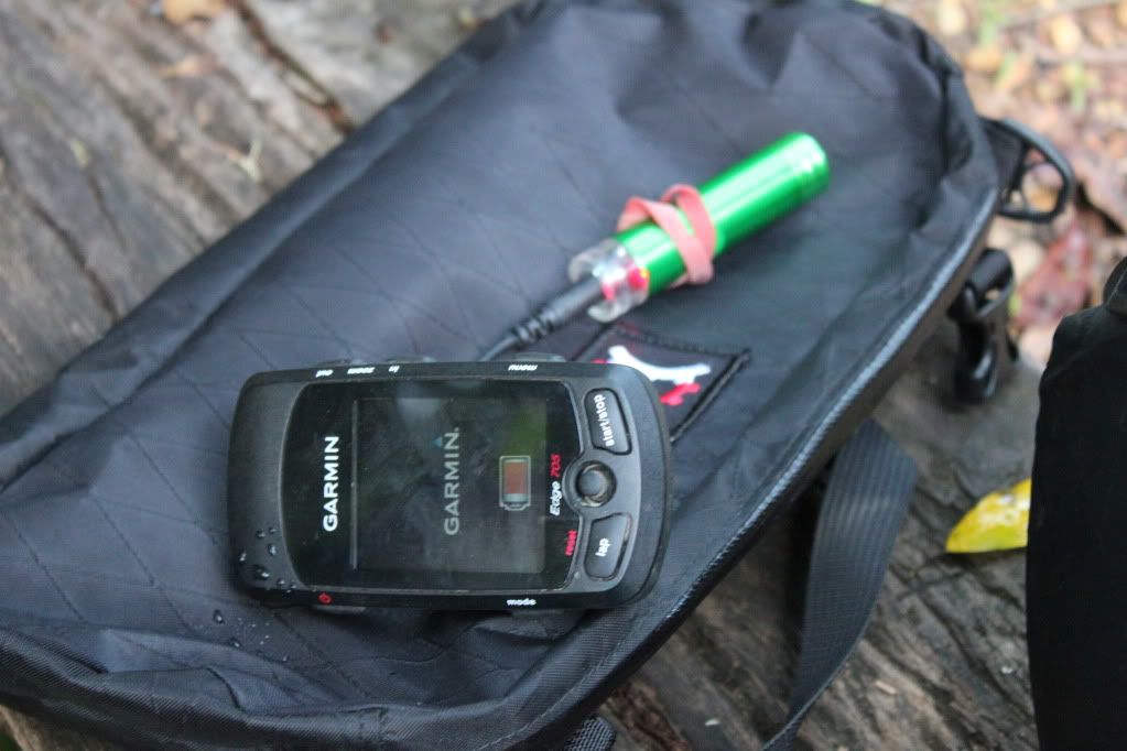
I will pay more attention to the navigation in the planning phase next time and will have to look into why my Garmin eTrex didn't perform the way I had expected. Note, this is not to say it did anything wrong. It just didn't do what I expected! 

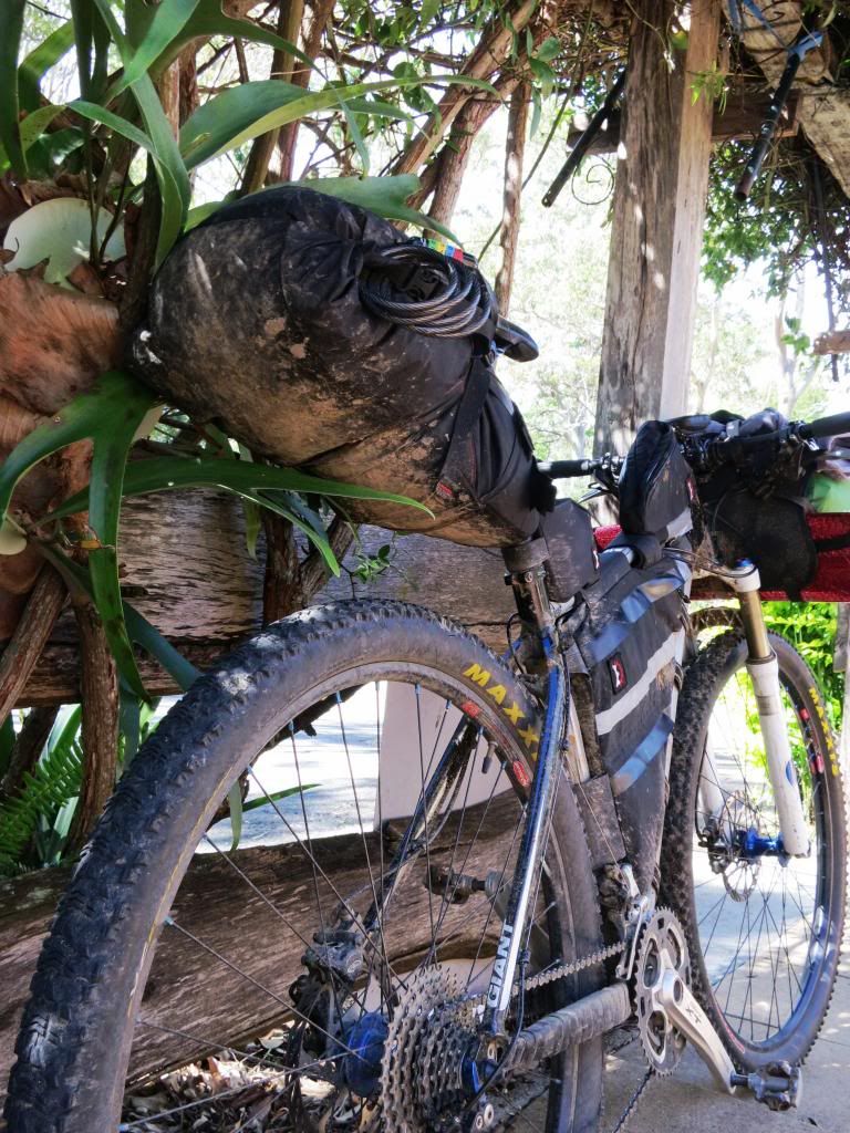
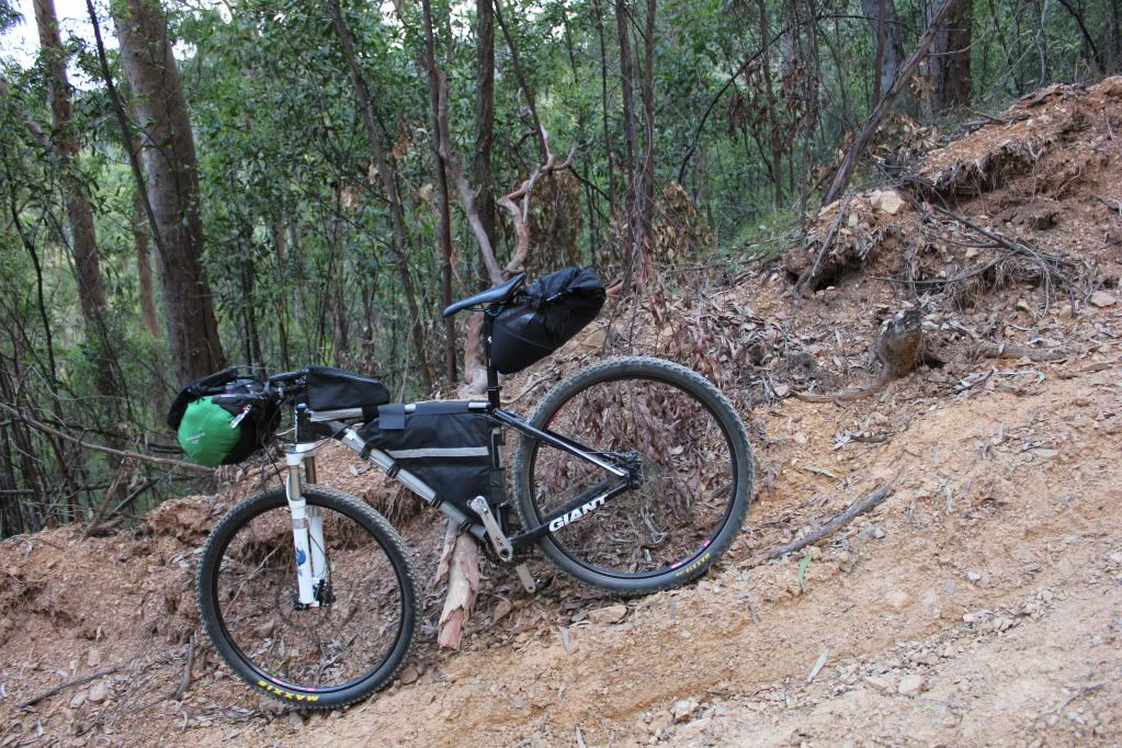
My Giant XTC29er worked perfectly. There were zero mechanicals, not even a flat tyre.

I must thank Neil for his track logs. Without them I couldn't have even contemplated this ride. Also for his phone advice when I discovered my route shortcomings on the GPS and his very generous offer to drive up and meet me with another GPS. That was above and beyond the call! Thank you.

Physically I felt pretty good and the lack of rest I got in the following days testified to that. Normally I would have broken down with a cold or something but this time I was at trail building next morning pushing barrows of rock, then kids sport and catching up on work around the yard. That is not to say I didn't look shagged, but I felt reasonably ok.

Also, a massive thank you to my lovely, understanding wife for letting me go for 4 days to play boys on my bicycle. Not many women would give their bloke that much leeway. Thanks Rebecca.


I think this is my favourite photo from the trip. It is at the cafe' on Mt Nebo when I realised that I had done it. I knew I could finish from here. I felt great.......


Thanks for reading. I hope you enjoyed it as much as I did.


Wednesday, June 27, 2012

Solo Bike Packing Trip


I am not sure how many posts I have started with the words "Well, it has been a while since my last post" so I will avoid it by saying "Crikey, I've been busy!"

I have had my head down, busy with work and study for sim. With sim successfully behind me for another 6 months, I resurfaced to notice a ride posted by Neil over at Musings. Neil is a regular organiser of "solid" rides here around Brisbane and having a free weekend, I was keen to attend.

Unfortunately, I had bitten off more than I could chew (as usual) by trying to fit Neil's ride around work and also incorporate it into my cunning plans. Something had to give. I made the tough decision to bail on Neil's ride, get some more sleep then head out on a solo bikepacking trip to test my gear and theories. I made the right decision as Neil's ride turned out to be very "solid".

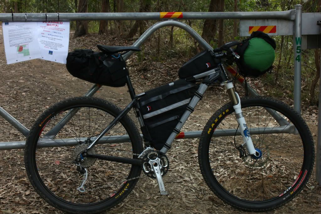
I set out around midday for Gap Creek with a loose plan to climb South Boundary Rd to Mt Nebo, then ride on into D'Aguilar National Park to eventually camp somewhere by dark. 


While I had packed as light as I felt safe to do so, my "normally" 11kg (24lb) bike now weighed in at 20kg (44lb) and I was tipping the scales at 90kg (198lb) with my backpack and camera gear! As there are some big hills in them thar hills, I was very afraid! But South Boundary Rd is like an old friend, almost comforting in it's 25km (16mi) and 800m (2600ft) climb to Mt Nebo.


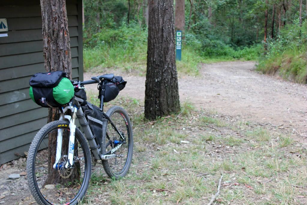
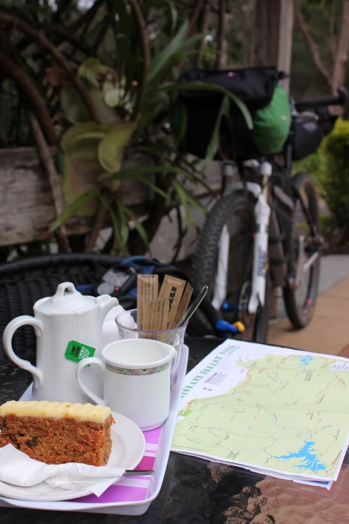
A pretty solid pedal with only a brief photo stop at the shelter saw me at the cafe' for a warming cup of tea and some carrot cake. Did I mention it was overcast and reasonably cold for Brisbane?


While sipping tea I perused my maps for an answer to my half asked question, "where do I go?" The tea leaves told me to head up Hammermeister Rd (just because I love that name!) then down Dundas Rd, Goodes Rd, The "Side" track onto England Creek Rd and England Creek Camp. 


An unknown factor was how much distance I could cover before dark. While I had lights, I wasn't overly keen on riding unknown trails and setting up camp in the dark. This was to be a proving run of sorts, after all.


One thing I found was that reading from a map, and a "stylised" map at that, progress was slow. Following a gps trace is obviously much easier and quicker but I had forgotten how much so. Having to constantly stop at every small side track to make sure it wasn't one that I needed to take was soaking up time. But then again, I had to keep reminding myself, I had all weekend and so what if it got dark? I could just camp where ever I stopped.

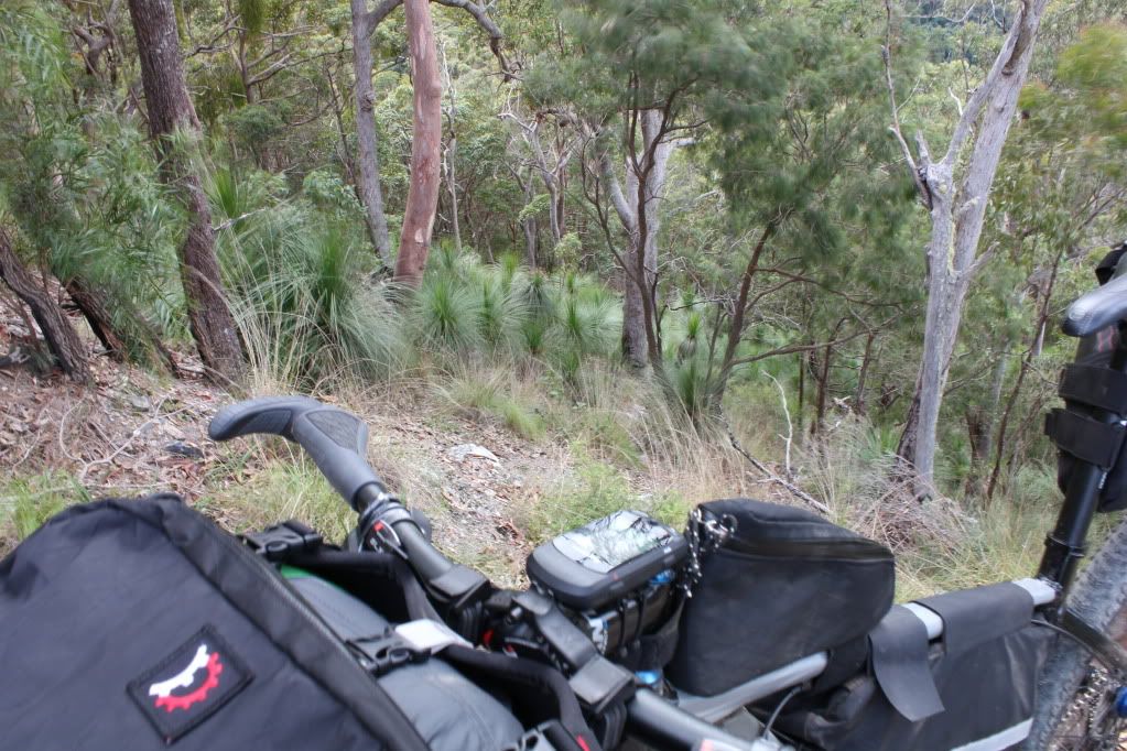
Then I came to a track named "Side" track. I am not sure of the grade but it must have been in the order of 30% as I lost 300m elevation in 1.1km of trail. I was struggling to walk down it. There was no question of riding down.


The camera is level in this photo as I have a small bubble level on the tripod clip, so that is the actual slope. Talk about being pushed downhill by the bike!


At the bottom was a small creek that obviously swells to a massive size during large downpours. It was pleasantly gurgling over some rocks as I passed through.


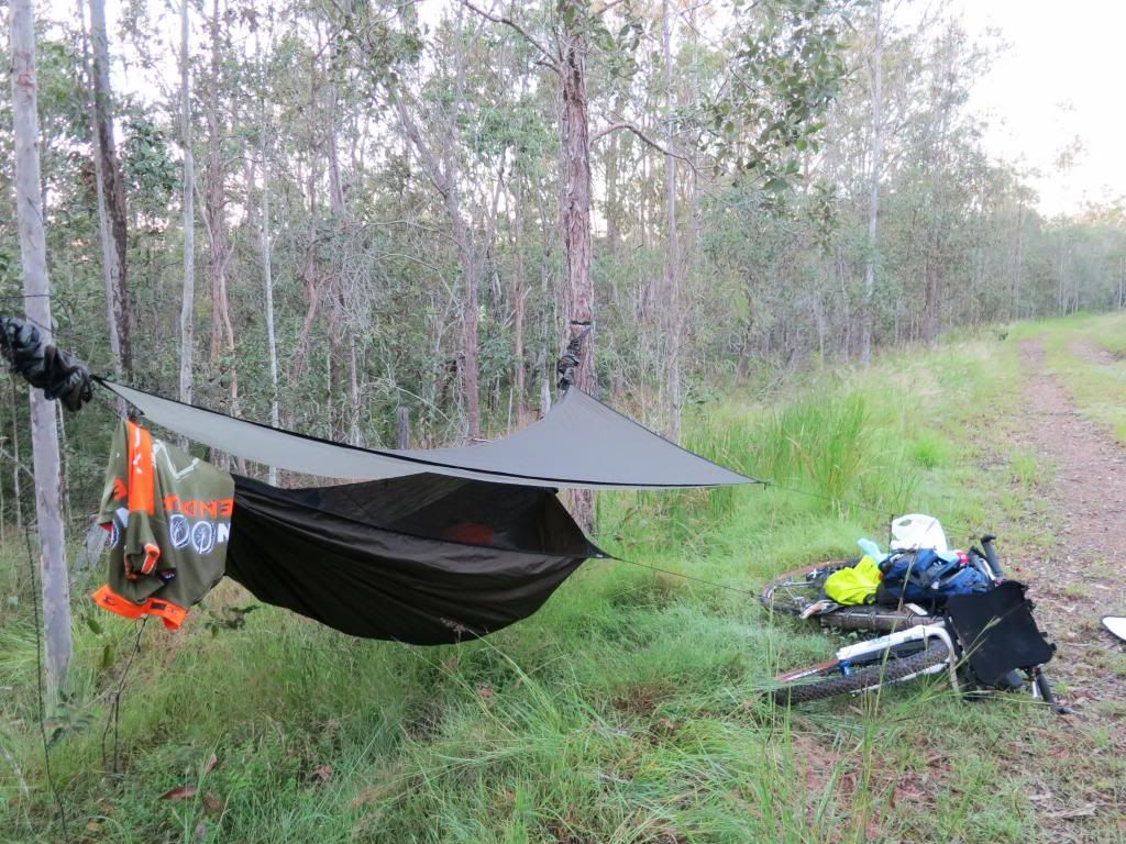
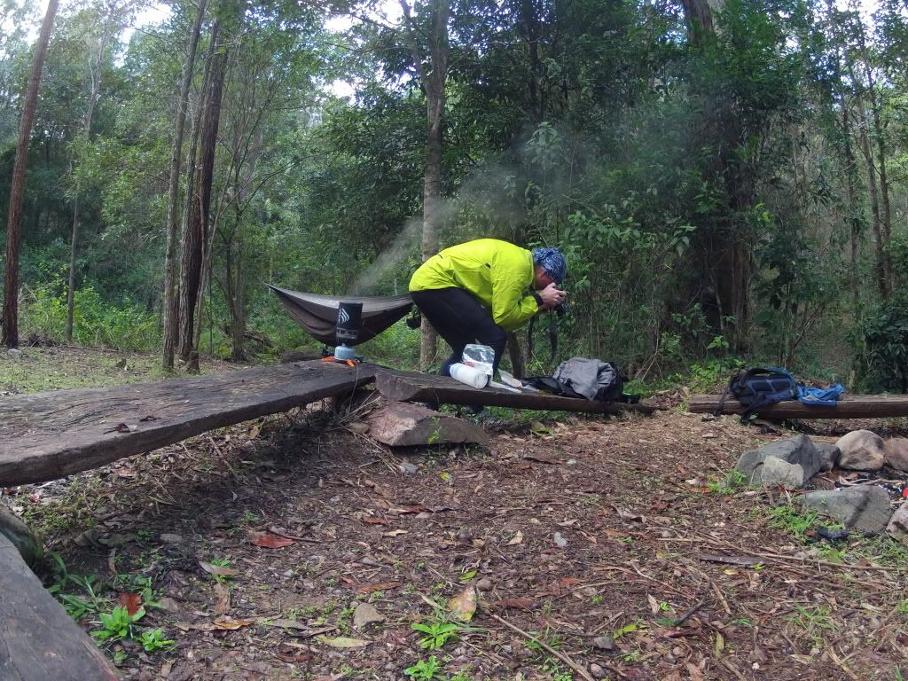
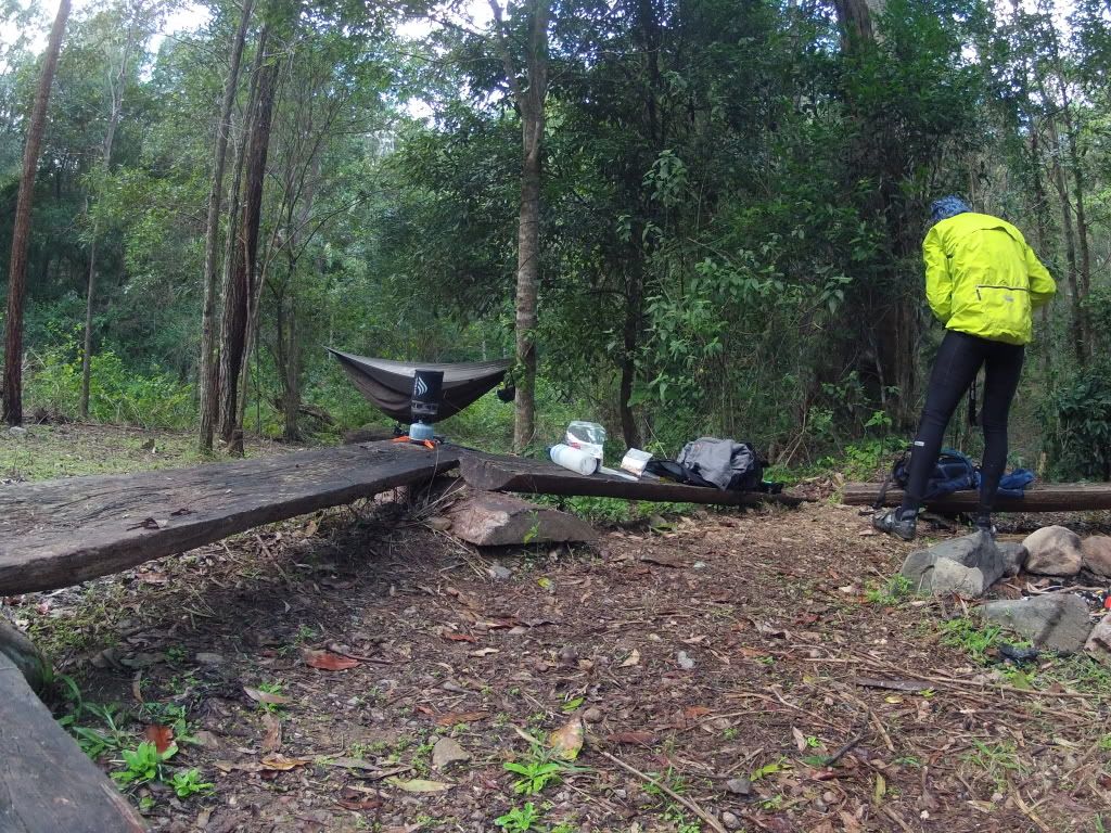
Down in this hollow it was getting a bit dark, so it was time to put my head down and try to make my "loose" objective of England Creek Camp. A bit of climbing and then some more leg pleasing descent made the distance fly by quickly. I managed to arrive at the camping spot just before dark and enjoyed the ease of setup of my Hennessey Hammock. It was up in just a couple of minutes and keeps me out of the weeds and more importantly, the snakes. I particularly like the fact that you do not need flat ground. You just need a couple of trees or poles about 4-5 metres (13-16ft) apart.


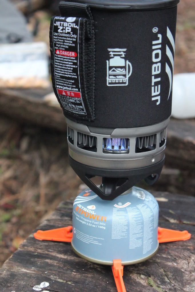
Then it was time to try out my camp stove and dehydrated meal. I must admit, when I last hiked I was a 13 year old boy scout with a cracking voice and no idea about much at all. Dehydrated camp meals didn't exist and excellent little camp stoves like the JetBoil were a distant dream of some visionary. Maybe humping all of the heavy crap that we had in the early eighties helped turn me off the hiking experience? Certainly, all of this uber light, well thought out modern kit has helped hook me back into that world.


It is simply amazing how fast this little stove will boil a cup of water. By the time I turned around, it seemed to be boiling! The Morroccan Lamb meal turned out to be very tasty with some added sultanas. And I wasn't even particularly hungry due to the modest 42km (26mi) ride so far.


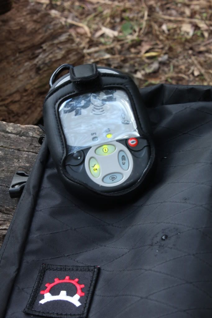
 Coming on a solo ride like this might seem a bit irresponsible when my wife was interstate and I didn't have a firm route, but I was able to check in via my Spot Tracker. While I hoped that the green lights meant that my position was being uploaded to someone that cared, the reality was that I make a point of taking measured risks and currently all was ok. The Spot is primarily if things go pear shaped and I need a bit of a rescue......

The night proved to be pretty cold for the sub tropics and in my little hollow it was down into single digits. One of the criticisms of the hammock is it's lack of insulation and sure enough, my back felt like it was hanging out of bed all night despite the rest of me being on the verge of sweating. Not very conducive to good sleep! The light rain that fell all night wasn't a bother with my cocoon remaining dry. The comfort factor was pretty high apart from my back though and I didn't have to fight off any snakes, so I will persevere and look into some insulation for the hammock.

It was bloody cold in my little hollow the next morning and some hot porridge and coffee certainly got me going. Once again the Jetboil had the water piping in less than no time and I was able to warm my hands on a strong black coffee.


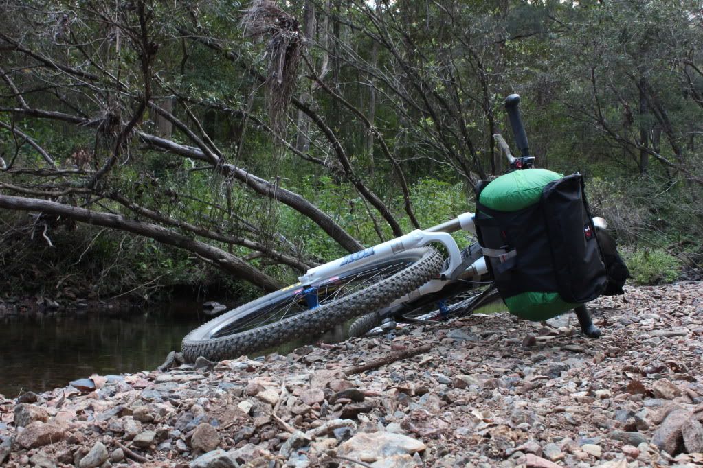
Packing up I stuffed the hammock into my seat bag to cut down on the weight on my handlebars. I had found yesterday that my hammock and sleeping bag were too much weight on my bars and made the steering seem ponderous and a bit frightening at speed.

Rugged up for the cold, I quickly warmed up as the ride out of England Creek was all uphill. Very soon I was stripping off layers and my legs were protesting from the effort.


Climbing 350m in the first 5km was a great way to warm up on a cold morning like this and after the first descent of the morning, with it's associated chill, I developed a new appreciation for slogging uphill at 5km/h (3mph).

My plan for today was to head north up England Creek Rd then turn east along Lawton Rd. Lawton Rd had been reported closed last year after the torrential rains of January caused land slips which cut the road. I figured that some repairs would have been effected by now and anyway, you don't need much trail to get a mountain bike through....

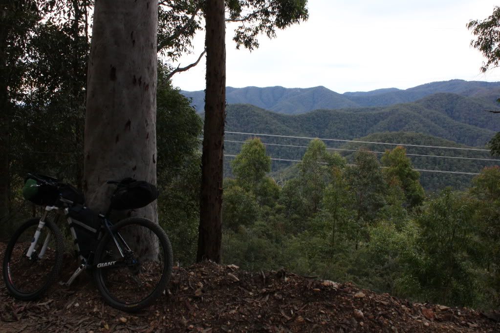
Climbing up toward Northbrooke Mountain the road skirted some ridge sides with magnificent views to the west over Wivenhoe Dam.


Coming to the intersection with Lawton Rd I was met with a very weathered "Road Closed" sign and a trail covered in much leaf litter. It certainly didn't look like anyone was using the road. Hmmm. It was a very long way to go back so I thought I would at least have a look. Of course the first few kilometres were steeply downhill and I was very concious of the climb back out if the road was impassable.


I soon came to some slips that had cut the road to half it's usual width but I also noticed that there was a slim trail where walkers, MTBers and dirt bikers had been using the road. A great sign!

Then I came to a huge slip that had taken the entire road away and was about 50ft deep and 30ft across! Bugger! I really didn't want to have to go back otherwise I would be out here all day and half the night. So I dropped the bike and had a bit of a scout around the edge of the slip and found a sketchy, narrow little path across. Testing it out, I left my backpack there and went back to get the bike. Most of the crossing was made across a tangled mass of fallen timber but there was a 6ft section where the tread was about 4 inches wide with nothing to hold onto and a huge drop into the slip on my left. Slightly heart in mouth I managed to manhandle the bike across, all the time hoping that there were not more of these further along the road.


As it turned out, this was the final hurdle and I happily climbed Lawton Rd toward Mt Glorious Rd, where I could hear the buzz of motorcycles echoing around the hillsides.


As I stood here at the gate to Lawton Rd several dozen motorcycles whizzed past. Mt Glorious Rd is one of THE roads to ride your road bike in the Brisbane area. With it's litterally hundreds of bends through the forest and several coffee shops along it's length it is a magnet for motorcyclists....and it was Sunday morning.
For me, the tough part of my ride was over. I rolled along the sealed road quickly. I stopped for a coffee and some eggs on toast which filled the hole I had created by climbing out of the forest. I was surprised to feel how cold it was when I emerged from the coffee shop and rugged up again with my bright yellow rain jacket. This would prove to be an important safety move.

Shortly after getting back on the road I was almost T-boned by a stupid woman in a people mover who was far too intent on getting into a parking place on my side of the road than looking to see if there was any oncoming traffic. "Sorry, didn't see you"!! I couldn't have been more visible in my "rescue yellow" rain jacket and suggested this to her. All I got was two fingers up from her though. So much for her being sorry she nearly ran me over and made my children fatherless. I almost pointed this out when I noticed a baby in the back seat of her car. How do you make these morons responsible for their action behind the wheel.

Anyway, I was buzzing with addrenaline and completely forgot to stop and take some photos of the 100 or so motorcycles that were lining the road outside the coffee shop at Mt Glorious!! I will have to come back on the R1 another sunday morning and soak up the atmosphere.


Turning on to South Boundary Rd I had the feeling that I was "almost home". Funny how this road is now becoming so familiar and comforting despite the 25km and 400m of climbing that still lay in front of me!

Rolling through Gap Creek I had the trails to myself, with no other riders around. On arrival back at the car I had covered 93km (58mi) with 3000m (10 000ft) of climbing for the weekend. My legs were feeling pretty well toasted as I had smashed it down Sth Boundary Rd.

Once I arrived home and checked in on Neil's ride on saturday I was glad I had not added Harding's Paddock and Flinder's Plum to my ride as they covered 50km (31mi) and also did about 1600m climbing. However, with some good rest pre-ride, maybe I could cobble together a route which takes in both of these areas......


As a test of my bikepacking gear the ride had been a success. I had packed about the right amount of food and clothing. The bike handled well enough being loaded up as well. I do need to come up with a better option for water when out in the bush. Carrying sufficient supplies is hard work. A Steri Pen to sterilise water from the various creeks I happened across looks like a "must have" and trying to build some sort of gps trail that I can load into my gps to help speed up navigation also needs looking into.

All in all, I was very pleased with how the weekend panned out and I can't wait to get out there again!