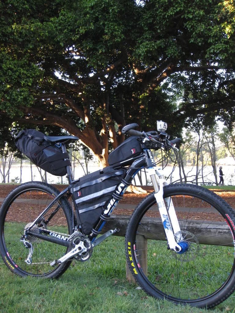
I have been tossing around the idea of doing some longer distance destination rides for a while now. To this end I have set myself up with some custom bikepacking bags from
Revelate Designs and after setting a date,
Dean and I were locked and loaded for our first bikepacking adventure ride.
The plan was to start in West End, Brisbane and ride through Gap Creek MTB trails, up South Boundary Rd to Mt Nebo. Then we would head down Dundas Rd in D'Aguilar National Park to Banks Creek Rd then into Fernvale. From Fernvale we would pick up the Brisbane Valley Rail Trail and follow it up to Toogoolawah. Neither of us are wizzes with Google Maps, but this seemed like a solid distance, somewhere north of 80km/50mi that would challenge our abilities on a mountain bike, especially backing-up on day two, the return leg.
Operating a "red eye" on Thursday night/Friday morning wasn't the best preparation that I could have for a ride of this size, so the early rise to be at West End at 6:30am Saturday was just a bit of a struggle. After putting our bikes together, we were ready to start riding just before 7:30am.
Initially we rolled along the Brisbane river, under the Coronation Drive pedestrian tunnel and headed for Gap Creek. Just past the Regatta Hotel we remembered that we had not activated the gps route that we would need to follow through D'Aguilar Nation Park to find Fernvale. D'oh! So with this activated (and the gps distance zeroed) we resumed pedalling the quiet Brisbane streets.
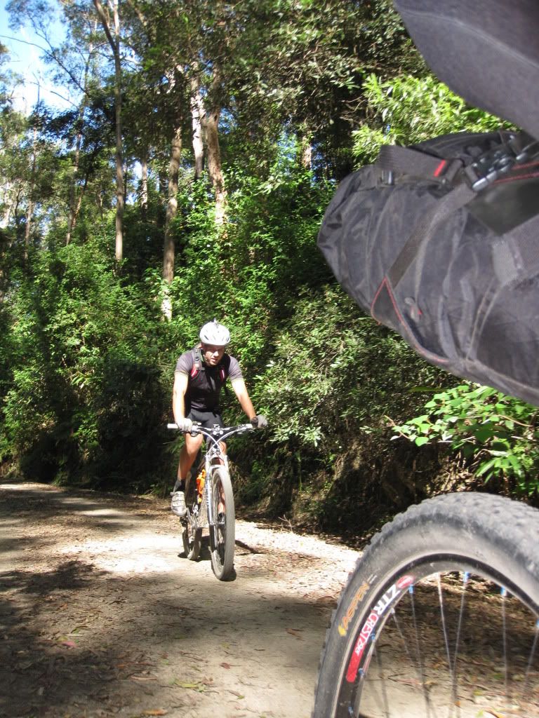
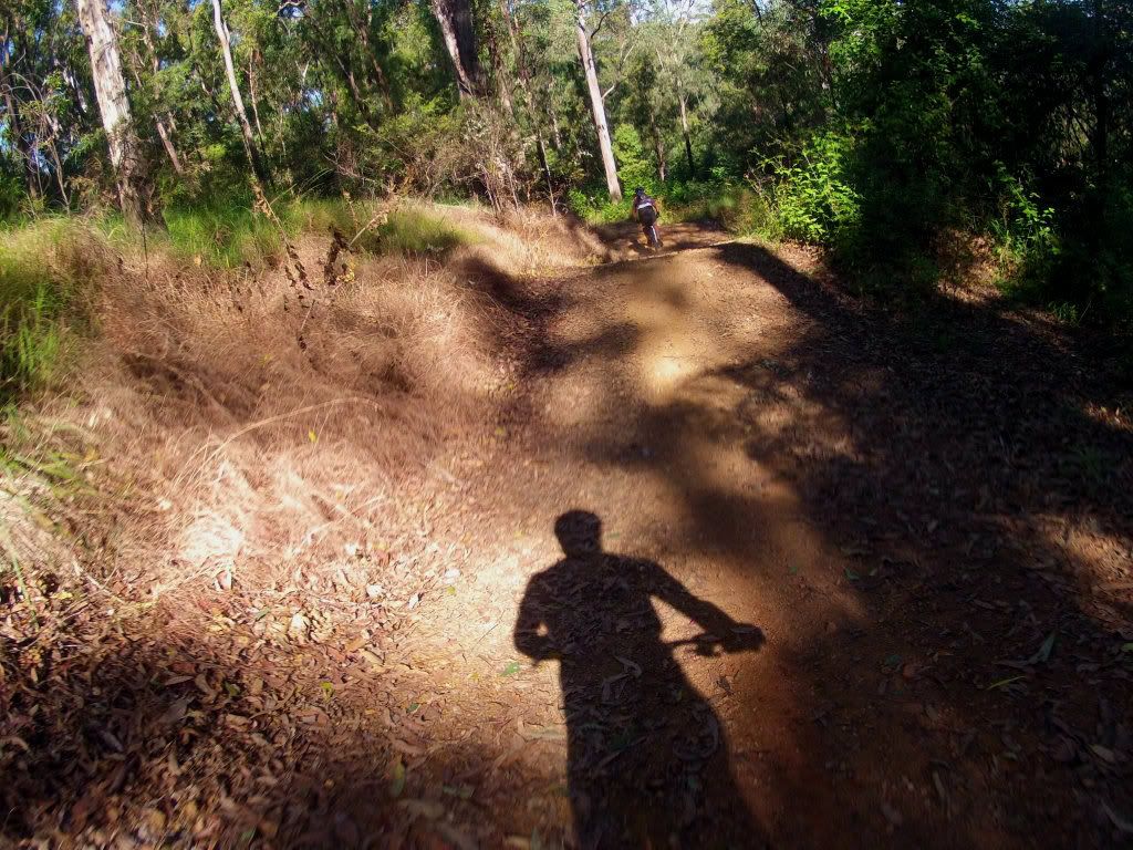
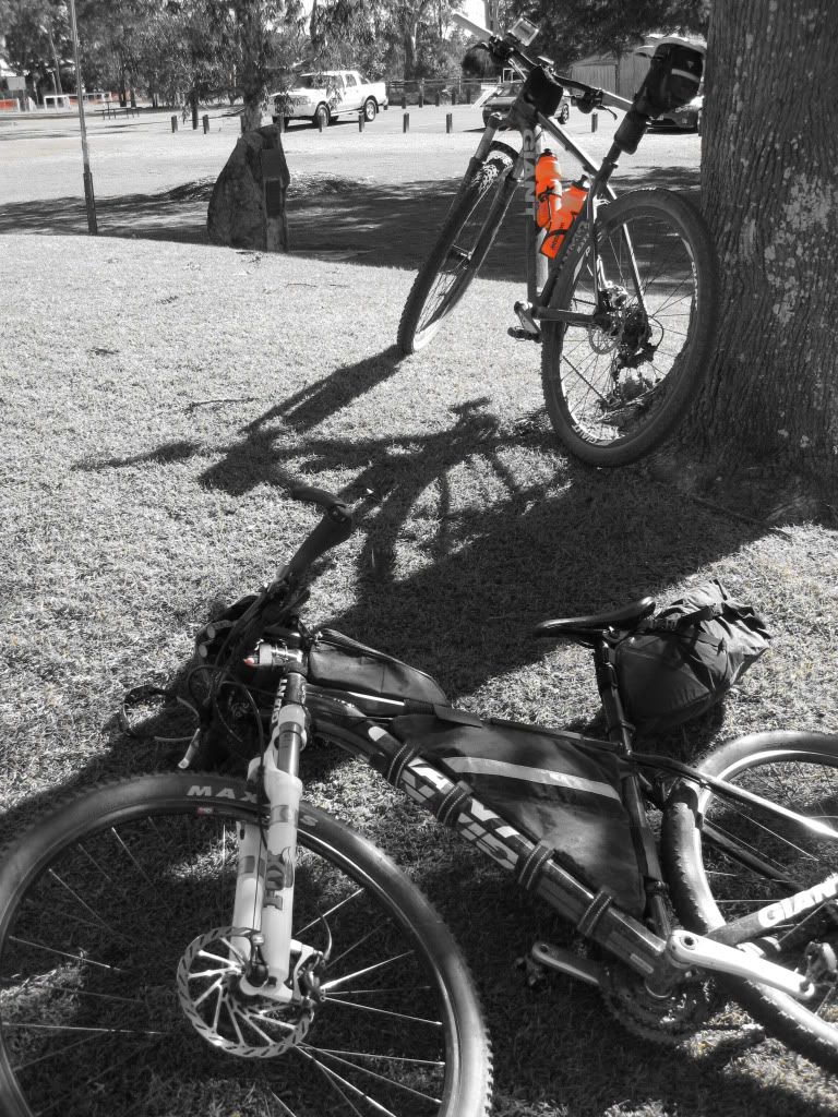
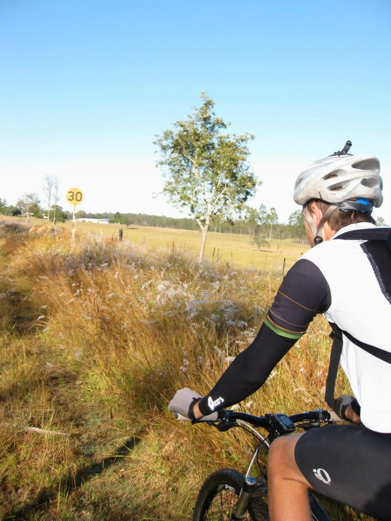
Hitting our first section of dirt, we paused to grab a photo. A couple of Gap Creek's single tracks whet our appetite for dirt and it felt great to be hitting the trails even though we were on our 29ers and loaded up like supertankers.
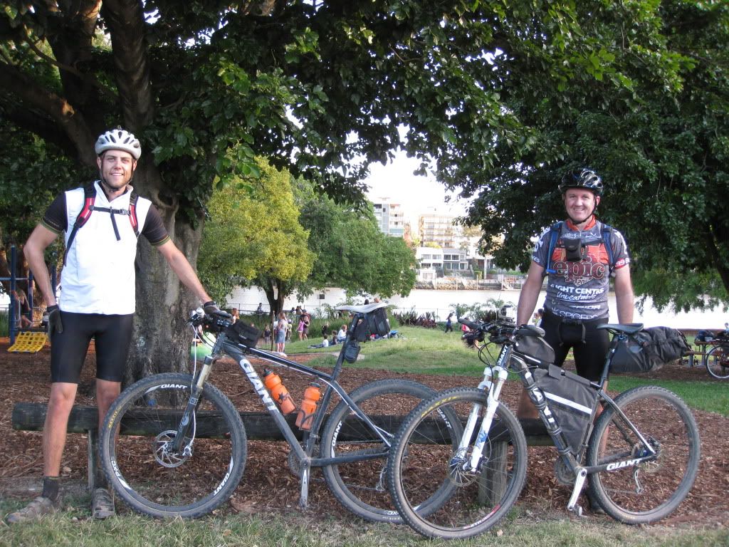
Suitably warm now, we stripped off our winter layers at the Gap Creek car park and watched the literally dozens of mountain bikers rolling around, warming up for a cruise. It was difficult to actually get a shot without them in the background.
No more playing in single track for us though. We now started the climb up South Boundary Road to Mt Nebo, a ride we had both done many times before. This "local knowledge" helps massively when determining how much effort to put into the pedals. A known quantity, South Boundary is tough but we both knew we could easily surmount it's climb. It was the new-to-us, unknown of D'Aguilar National Park that was playing on our minds during this climb.
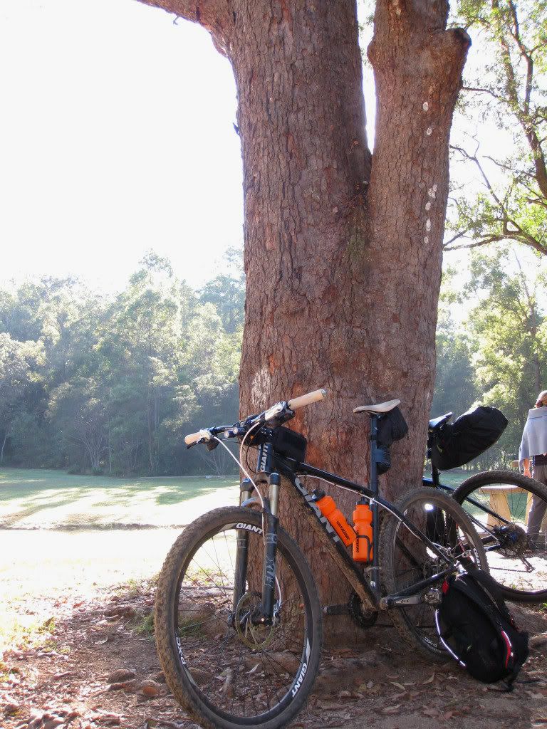
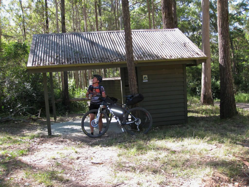
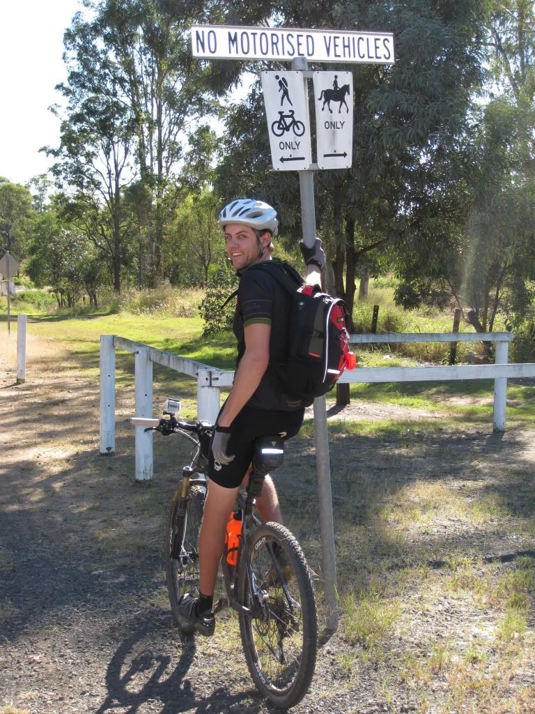
We were soon at "The Shelter" and I took it upon myself to watch out for drop bears while Dean snapped some photos.
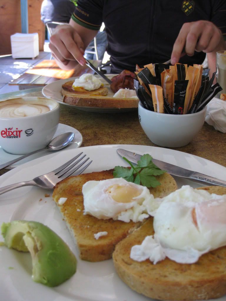
From the shelter to Boombana cafe' is a relatively short ride made all the more pleasant by the climb into the cool, lush forest at the top of Mt Nebo. As we were playing MTB tourists today we decided to stop for a slap-up breakfast. Deliciously fresh food as usual but a large chunk of time was burnt while we waited, something that would come back to bite us later in the day.
Now that we were stuffed with food it was quite difficult to continue the pedal up to Dundas Road, our bodies greedily absorbing the food and not helping out much with powering our legs for a few kilometres. To add insult to gluttony we joined the route that was loaded into our gps here and watched as the virtual partner function showed us slipping behind on the climb!
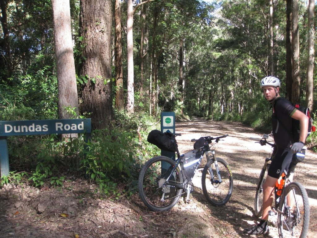
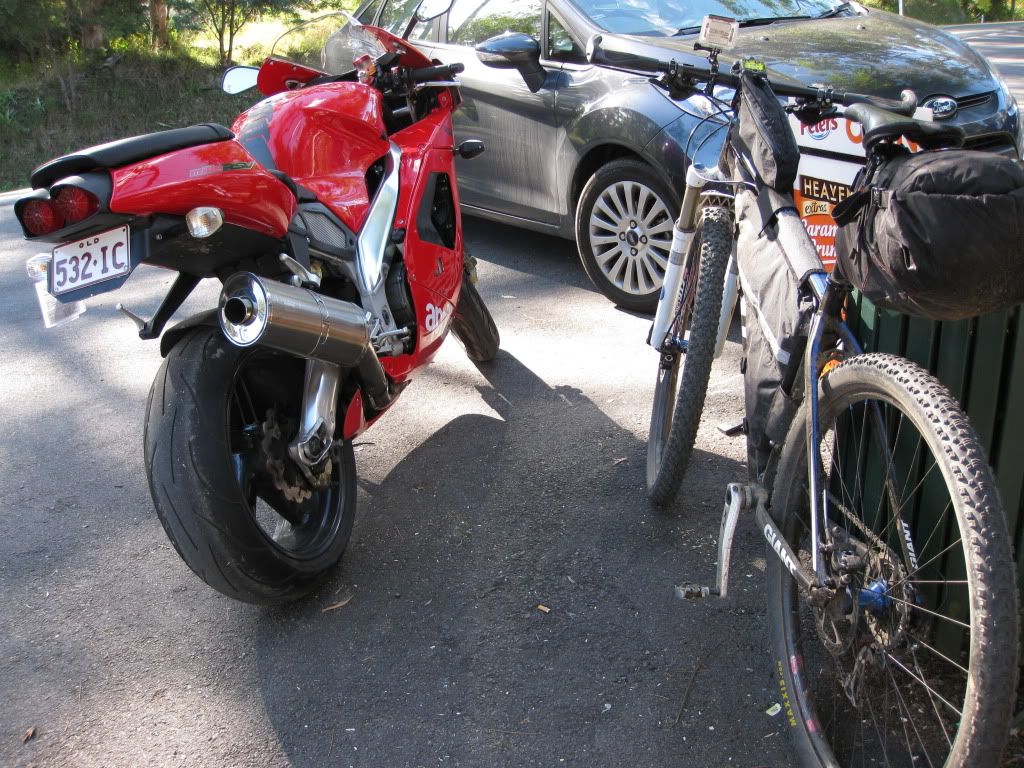
Finally at Dundas Rd we were into D'Aguilar Forest for the first time. The waste transfer station at the entrance takes a slight shine off the fact though.
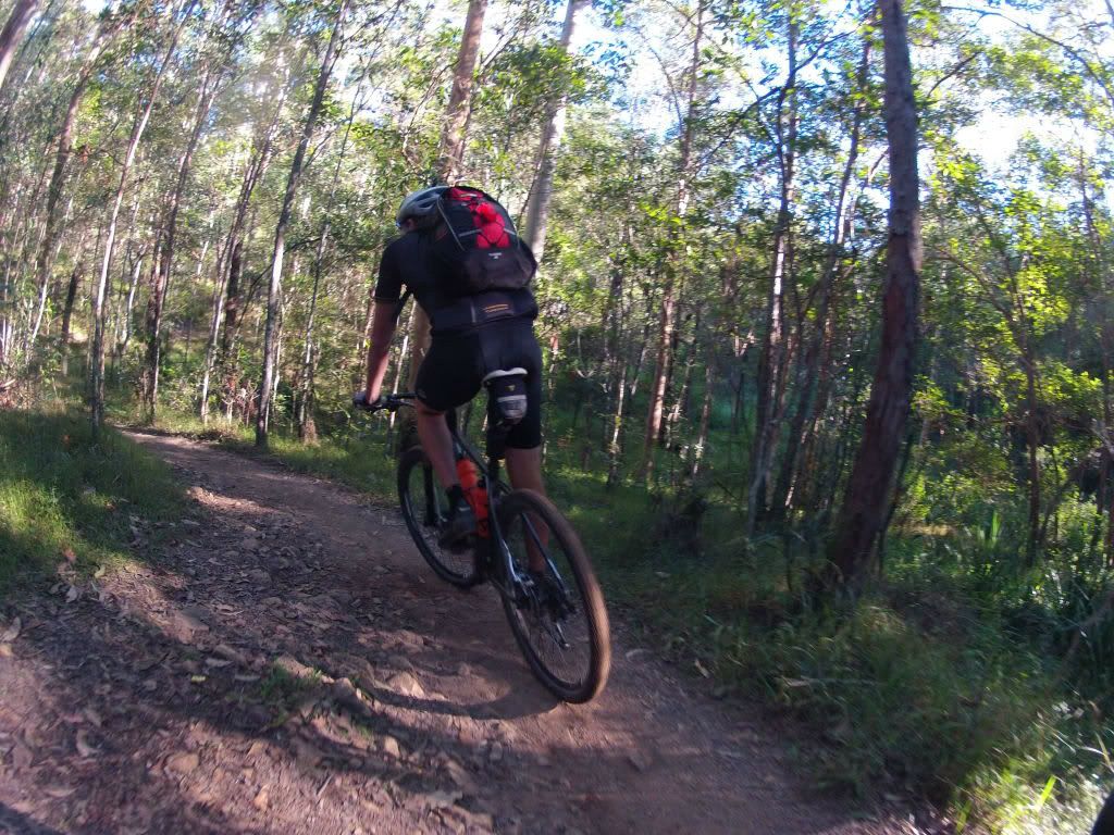
Some welcome downhill turned to undulations, with a slight accent on the down which suited us just fine. We were rolling along nicely again, happy to be in the bush and away from civilization. Then we came to a steep section of trail known as "Whoa Boy". This was FUN! Although, on my fully loaded bike I was making an effort not to get too much air over the water bars, lest my lightweight rear wheel explode on landing. We stopped a few times to let our brakes cool and to marvel at the steepness of the trail. It is hard to capture the steepness of terrain in photographs, but I think this one does a fair job as Dean follows me down the drop. Horizontal is somewhere just above the top of the photo.

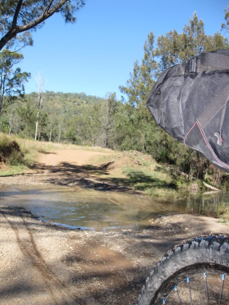
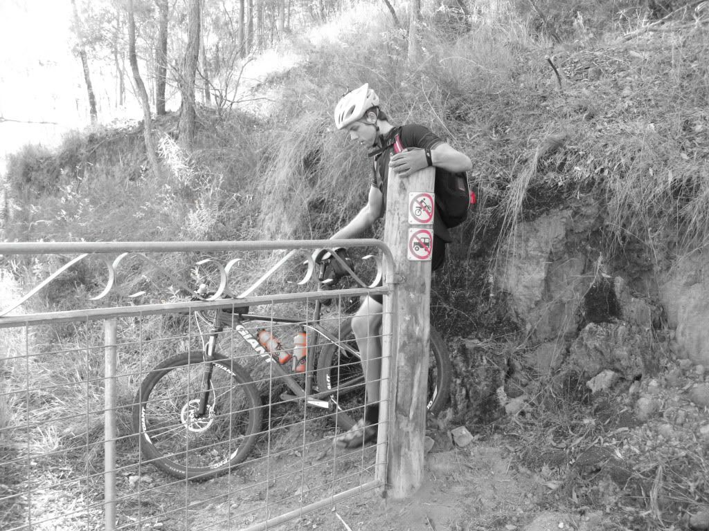
At the bottom of Whoa Boy we came to a three way intersection. Our gps trace had us going through the only gate that had a "private property" sign on it. Being generally respectful folks, we didn't feel very comfortable taking this gate but with no other way around we pressed on. We had been told that the owners were okay with mountain bikers passing through. Just show a little respect and all would be good. We passed through the block quickly without seeing anyone and were much relieved to pop out onto Banks Creek road and continued our roll toward Fernvale. Banks Creek rd proved to be a pleasantly meandering road, if somewhat exposed after a morning spent under the forest canopy, that crossed several streams (or the same one several times) where we could ride along and chat. Equally pleasing was the fact that we were now almost 10km ahead of our virtual partner.

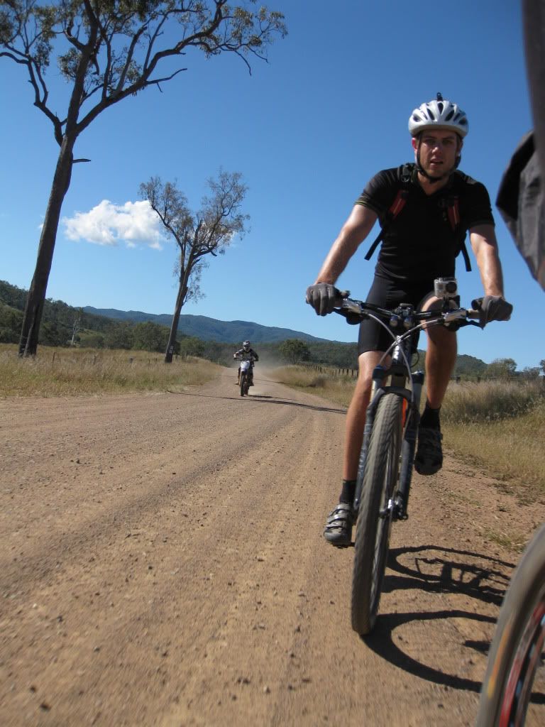
Signs of "civilization" began to emerge as we edged closer to Fernvale. These took the shape of illegal, unregistered trail bikes. They didn't trouble us other than feeling the urge to wheelie past us at speed. Geez, I for one was impressed....
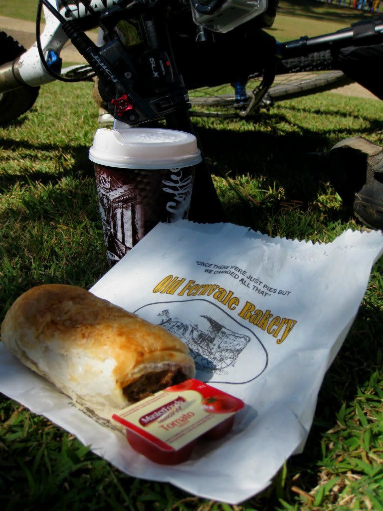
Into Fernvale and there was only one place to go of course. The Fernvale bakery has some of the best pies and pastries around and yes, we were hungry again. We would be slightly more circumspect about the amount we inhaled this time!
While resting we perused the gps and noted that we had covered 60km/ 38mi! With our maps indicating another 44km/28mi to Esk this ride was going to be just north of 100km/63mi, not the 80km we had been planning on.
Topping up our water we were then on the Brisbane Valley Rail Trail heading toward Lowood.
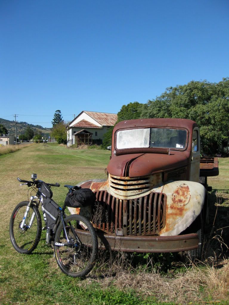
This section was advertised as family friendly and proved to be in excellent condition. We made good time along this section and passing through Lowood in quick time.
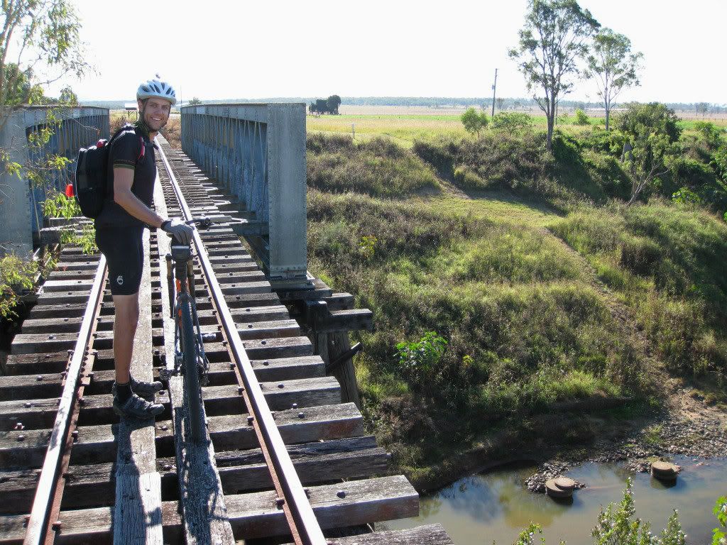
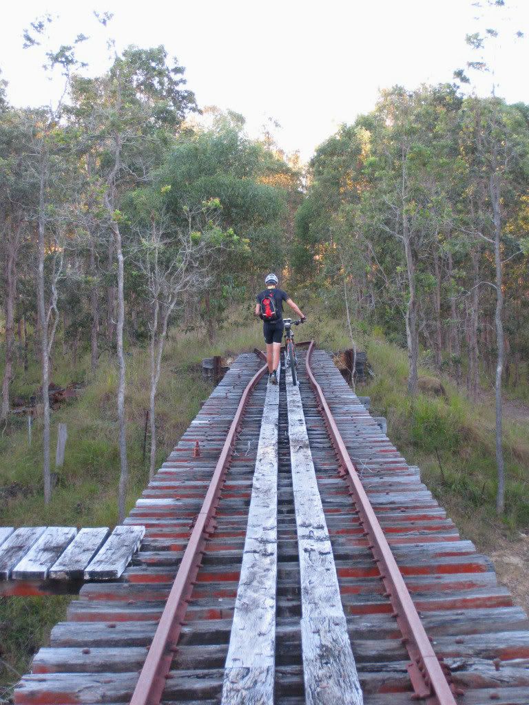
Rolling hills with views across to D'Aguilar and Mt Mee Forests greeted us on the ride from Lowood to Coominya. The odd railway bridge added to the interest.
Sadly, these bridges are out of bounds and in fact, most of them have been demolished. Instead of putting a rail on either side and lining the sleepers with a walkway, our local governments who administer these trails are shit scared of litigation and ongoing maintenance, preferring to knock them down and force users to wade through dodgy low level crossings. Why can these bridges be saved in
other (relatively poor) countries, yet not here? These old rail bridges add immensely to the enjoyment of these trails and it saddens me that such experiences are being ruined by fear of litigation.
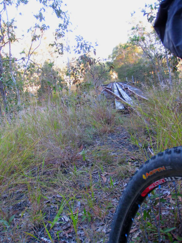
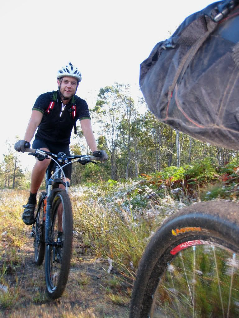
Just the other side of this bridge the trail was heavily grassed. It paralleled a road, so the only sensible thing to do was ride this bit of tarmac and go a little easy on our legs. Easy on the legs gave us the opportunity to arse around with the camera.
Another water stop at the Coominya store and we got chatting to the girl behind the counter. She couldn't comprehend that we had ridden from South Brisbane, or that we were going on to Esk. Her loss I guess.
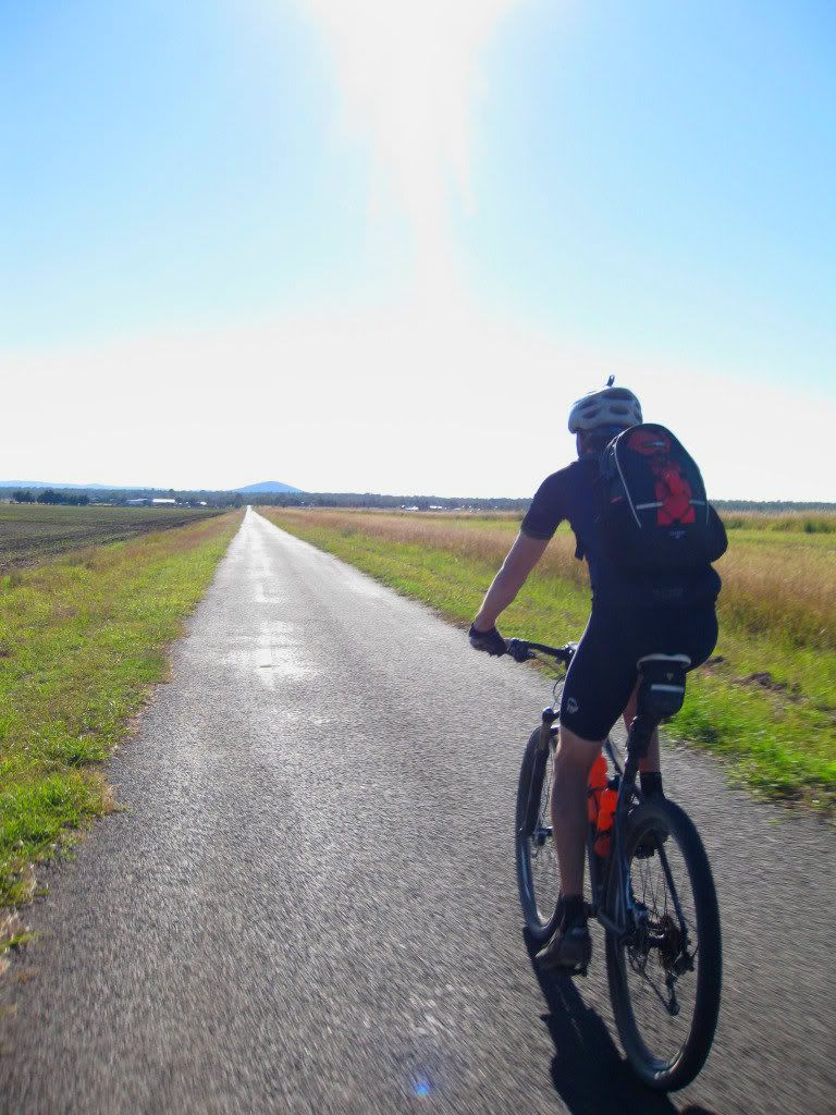
The ride out of Coominya to Esk was 24km/15mi and proved to be slightly uphill on grassy, rocky trail. As the sun was starting to get low in the sky we really needed to just crunch out these kilometres. We rode in silence, one behind the other to get it done. The sun, in our eyes, was making it hard to see the trail surface in the longish grass. I did not see a small snake until it was going under my front wheel! Trying to lift my feet up, while still clipped in, provided Dean with some entertainment. He was so close that he ran the snake over as well, but didn't even see it go under his wheels. Washouts were another hidden hazard, but we kept it upright as we pressed on.
At around the 100km/62mi mark we took a slight wrong turn along what looked like rail trail. There was no signage, but that was nothing unusual. We jumped the gate and pressed on.
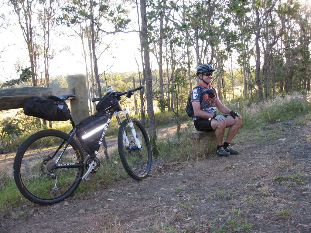
When the trail petered out at a road crossing we decided to jump on the tarmac and ride into Esk as it was getting late. 1km later we crossed the rail trail again! How we missed it I have no idea. A combination of fatigue and sun in the eyes maybe? I took a moment to relax on the trail side furniture and contemplate our navigational error!
Anyway, this last section past Mt Hallen into Esk proved to be extremely pleasant and I was glad we rode it. More bridges....
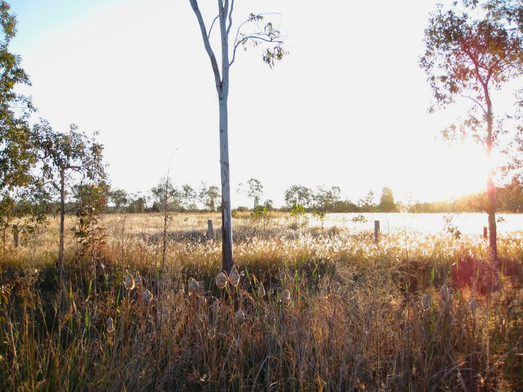
Golden fields, lit by the setting sun.....
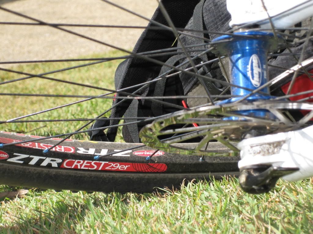
And 29er tracks.
Rolling the last 200m into Esk and my rear wheel jumped sideways. I heard a stick skitter off into the bush, but thought nothing more of it. Dean said "I think you have a puncture". No, it felt normal and sealant would be spraying out if I had flatted. We rolled on into Esk and booked into the first pub we saw.
As I was emptying my seat bag in our room I noticed that the bottom was covered in Stan's sealant! Our only mechanical of the day was just 200m from the finish and the Stan's had done it's job by sealing the hole. Just a small amount of air needed adding to bring the tyre up to proper pressure. Another win for tubeless tyres and my kind of mechanical!
We decimated a couple of steaks, even though they hung over each end of our plates, and couple of beers, then followed these down with a pizza chaser. This MTB touring certainly builds a hunger!
Totals for the day? Well, we were way off with our planning. We covered 116km/72.5mi with 1900m/6200ft of climbing! Even though Toogoolawah was our goal, we had only just made Esk at sundown. It was going to be very interesting to see how we backed up for the return journey. Needless to say, we were in bed and asleep very early, with the alarm set for 6:15am. We were conscious of the time we had wasted today and felt we needed an early start to account for any variables on Sunday.
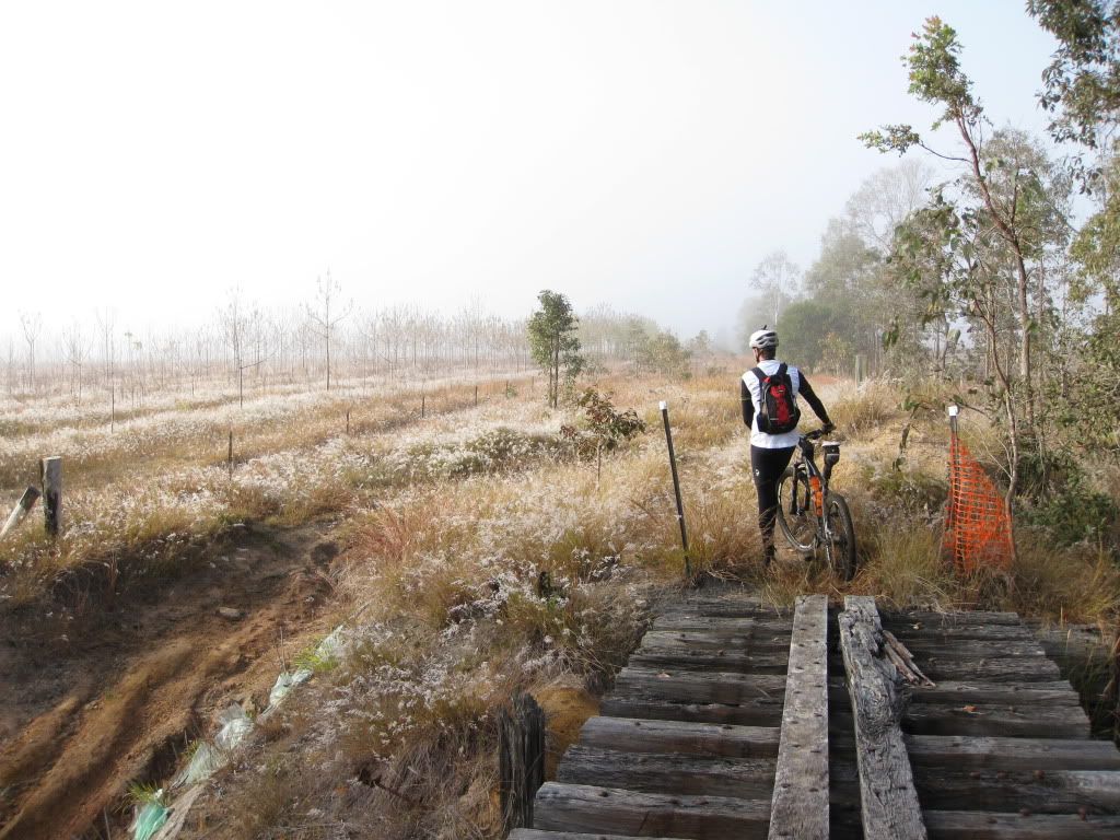
Sunday dawned foggy and cold. We loaded up and rolled out of Esk at 7:50am. Hardly the crack of dawn, but a visit to the bakery for a coffee was necessary to kick start the day, although, my legs felt pretty good actually. Obviously, good food and lots of sleep help in the recovery stakes.
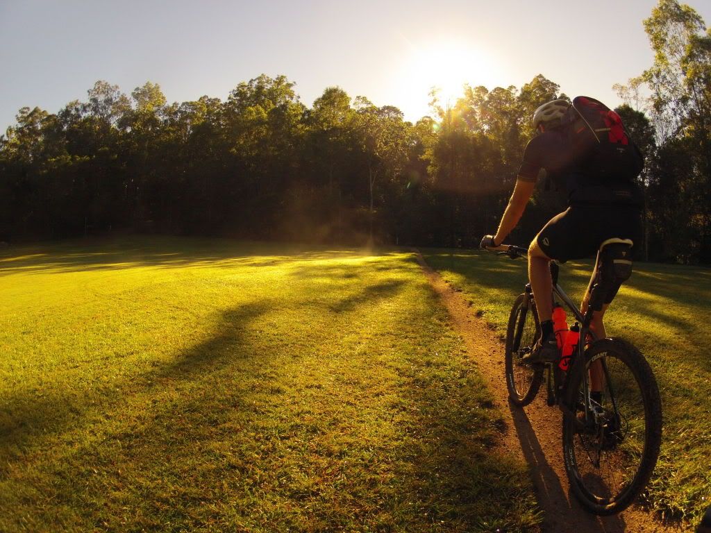
We made good ground this morning. It became clear that we had been pushing steadily uphill the evening before, which accounted for our slower than expected progress and weary legs. The bonus for today was that we were smokin' the distance for little effort! And doesn't Dean0 look happy about that?!
As the fog cleared it gave way to another cracking clear day here in south east Queensland. You have to love our winter weather.
We found ourselves back in Fernvale in what felt like no time at all. Another visit to the bakery for some morning tea was in order. After a stretch on the grass we, slightly reluctantly, pointed the bikes uphill and began what would proved to be the challenging section of today's ride.
Banks Creek Road proved to be a hot, exposed ride that brought some sweat to the brow. The views from the top of the climbs made it all worth it though.
We fell into silence again as we approached the private property gate. It was open today. That meant unlike yesterday, someone was around. We climbed the hill in silence, avoiding the huts until we came to the hut at the top of the hill. You have to ride right past this one and today there was a woman standing there. Nothing to do but ride up with a smile and say hello! She and her partner proved to be most accommodating and asked where the rest of our group was. You know,
the group that came through a few months ago? Yes, we knew the group and now we know the property owners. We were pleasantly surprised that they were happy to have us ride through their place. Obviously, we were out there because we enjoy it, not to cause trouble. So, on we went.
The walk up Whoa Boy was a nice respite from a mountain bike seat, even if it was a bit steep. It rises about 500m/1600ft in 4km/2.5mi. The up side of this grade is that we gained almost all of the elevation we needed in a short time and before we knew it we were back at My Nebo Rd, passing many walkers along the way as well as a few illegal dirt bikes along Dundas Rd.
We quickly passed through the Boombana Cafe' again. This time just for a popular caffeinated cola beverage and a water top up. I briefly contemplated swapping to a new ride.
We then dropped down South Boundary Rd toward Gap Creek, gaining speed all of the way. There were not too many photo stops from here on in. While the legs were feeling suprisingly good, the shadows were growing long again and it was time to head for home. But not before we hit up Rocket Frog trail in Gap Creek. Any fatigue was forgotten about for about ten minutes as our legs seemed to gain a new lease on life. Out onto the tarmac again and that lease had expired. We now rolled the ups and downs toward West End and The End.
Back at the cars we were dusty but elated! We had not had any crashes, nor any mechanicals bar my self sealing puncture and we got to experience a whole variety of new-to-us terrain.
Apart from the unknown distance, the other variable was us. We were both unsure of how we would handle this ride but I am pleased to say that we both held up extremely well. While tired and a little sore, I could have easily done another 20 or 30km each day if needed.
The final details were 226km/141mi with 3700m/12 150ft of climbing.
Time for a lie down....
The Video
The stats from day two.
But where to for the next challenge...............................?