Well, after alluding to some Epic cycling in my Friday post the weather was looking like putting a massive dampener on any pedalling antics. More. Bloody. Rain!
Ignoring the prospect of some discomfort, Dean0 and I met in the Gap Creek car park at 7am in the morning to grind(literally) up South Boundry Road to a warming breakfast at Boombana Cafe' on Mt Nebo.
Having done this ride the last few times on a fully loaded bikepacking rig, my unladen bike virtually lept up the hill with nary a push on the SPDs from me. The only fly in the ointment was the mud flicking into our eyes after all of the rain on Friday. No sight? A minor inconvenience and it sure beats working for a living!
Anyway, we came, we saw and we conquered both the mountain and breakfast. Arriving home I set to cleaning my bike in preparation for an overnighter on Monday night. Pure luxury with the kids away for school holidays.....
Resting my slightly sore legs on a rainy Sunday I was keeping an eye on the
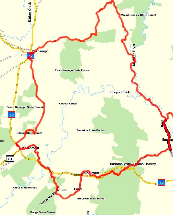
BOM's rainfall readings for our proposed route. It wasn't looking particularly good for cycle camping and with more heavy rain forecast for Monday we decided to pull the pin on camping and see what Tuesday would bring. With this in mind I came up with a plan for a day ride north west of Brisbane that ticked two boxes. It would be dry and I would be able to take in a big chunk of the loop that I cut from my
4 day bikepacking trip back in April.
My ride buddy pulled a heartlidge on Monday night so I was flying solo. No probs. I had put a lot of planning into the route with a workable track loaded into my GPS and newly purchased maps of the area. I was not going to suffer from "navigational errors" this time.
There was still a lot of rain around and I must admit I was a little sceptical about the condition of the trails. Being black soil it turns to poo and sticks to everything once wet, making for very tough cycling conditions and not much fun. But the automated rainfall indicators showed very little to no rainfall in the area. No excuses! Gulp!
Driving west I was quickly under clear skys while the rain continued to tip down on Brisbane. Good call. There would be no riding at home for a week or so due to wet trails.
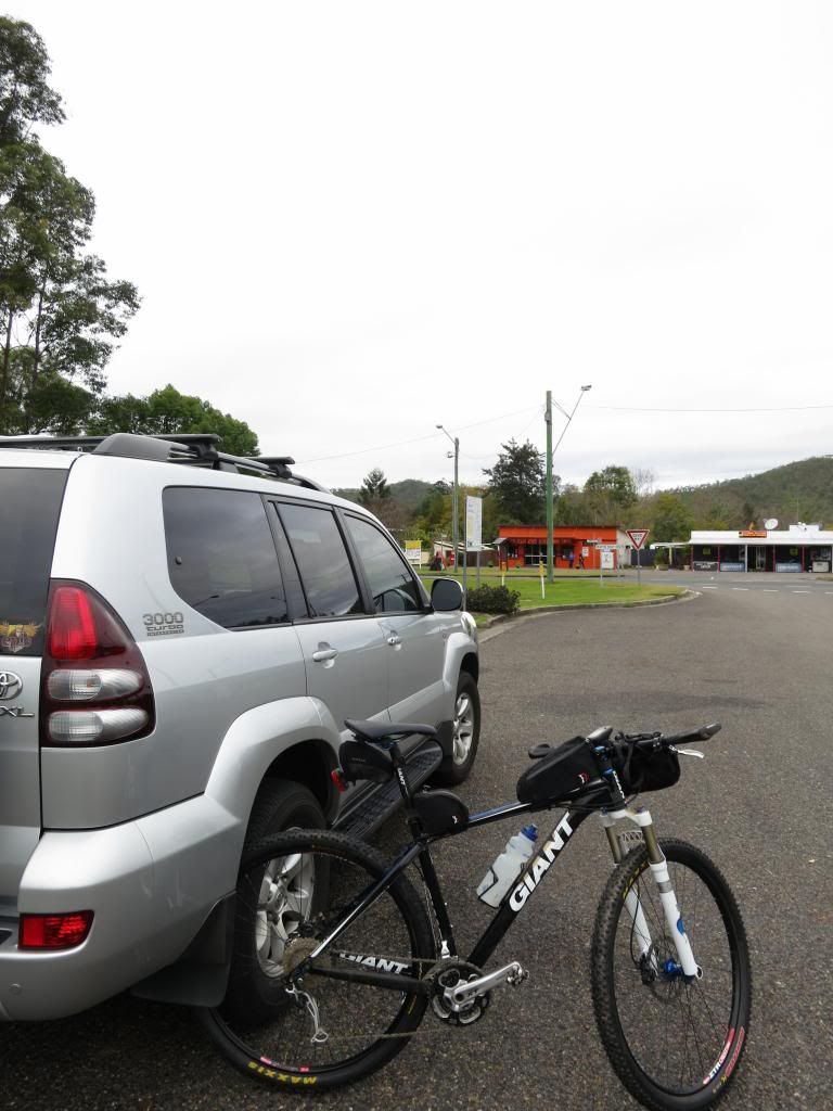
I arrived in the little hamlet of Moore just before 8am and quickly got kitted up and rolling.
I had "roughly" determined that the ride was going to be at least 136km(85mi) with an unknown amount of climbing. With this in mind I needed to keep the wheels turning and so launched into the
Brisbane Valley Rail Trail with gusto. Until the first gate. Then the next gate 200m(yards) further. Then the next one. And the next one......There sure are a lot of gates on the BVRT!
I had never ridden this section from Moore to Linville before instead always starting from Linville and heading up toward Blackbutt. I guess, unsurprisingly, it was very similar. Just with a lot more gates.
I was quickly through Linville and on the climb to Blackbutt. The last time I did this section I had an excited little girl with me and we stopped to inspect pretty much everything of interest along the trail. Today I just wanted to cover this section of the trail so that I could get to the "new to me" bits.
Into Blackbutt for a quick water top up and I was approached by an elder gent who had his grand kids in the playground. He wanted to know about the trail, adding that he used to ride. I gushed on about how good it is(well, it is!) and urged him to just get out there and do it. As we parted company I think I saw a contemplative look on his face. I may have just planted a seed that I hope grows for this gent.
Heading out the trail toward Yarraman was all new territory for me. This section only opened last year and I had been looking forward to seeing what secrets this bit of trail held.
The main secret, which surprisingly, was no surprise is that there was a shipload of gates! Yep, I wish I had the contract to supply gates, chain and clips to these guys. I think there was like 3486 gates to this point on the trail, but I may have been delusional from opening and closing gates by this stage.....
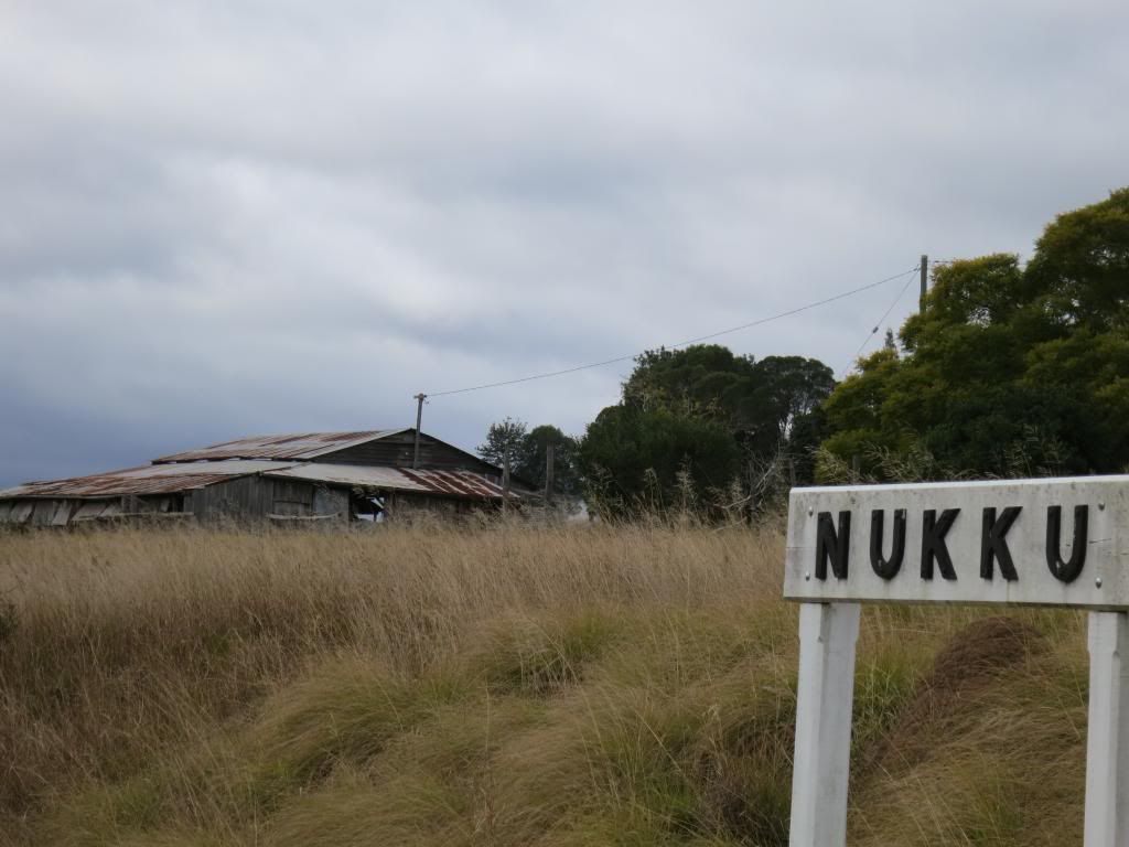
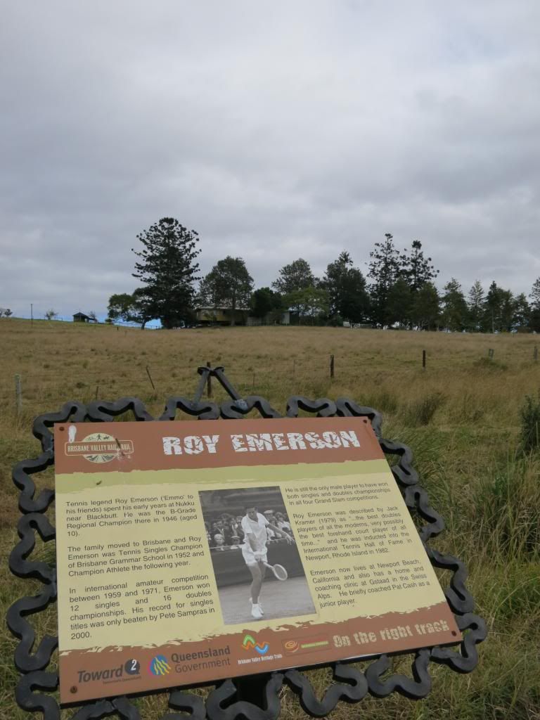
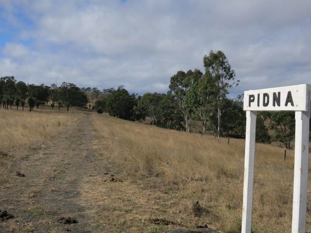
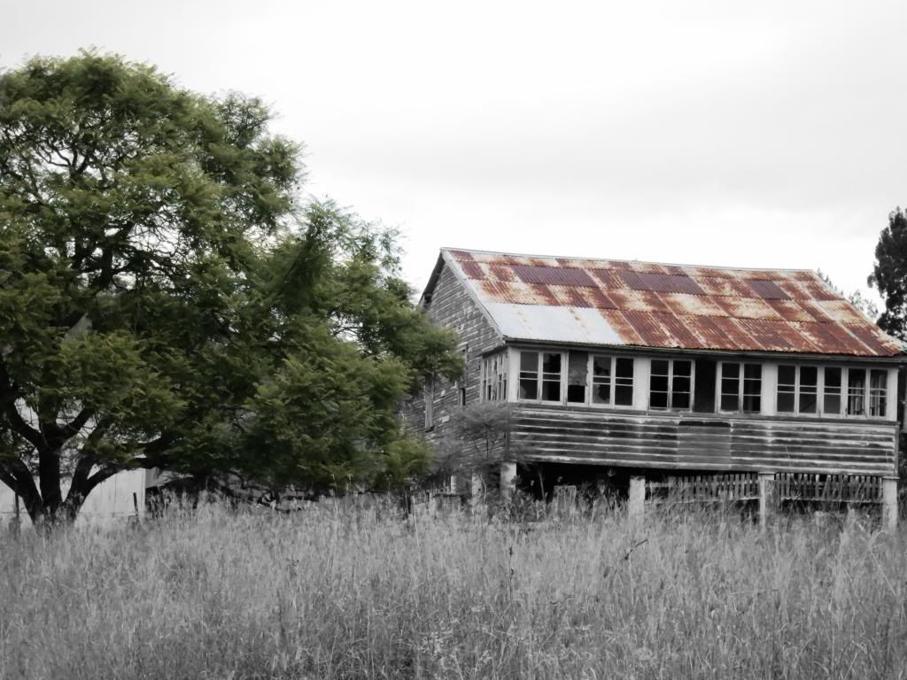
Some of the old stations had signs erected to identify their past presence(?). Otherwise there really would be no way to tell what once existed on that spot. Apparently Roy Emerson grew up in the area.
There was quite a bit of cow-hoof-imprinted trail that was bone jarringly-energy sapping tough riding. Then I came to a section that had been recently repaired by a large bulldozer. The silky smoothness was bliss!
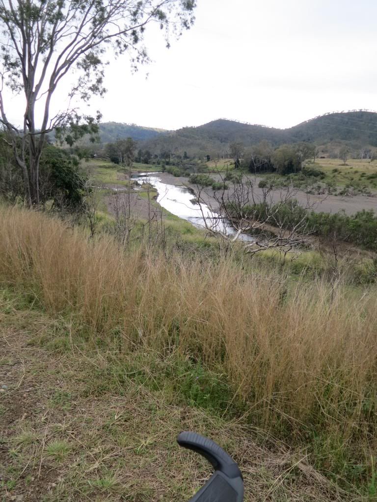
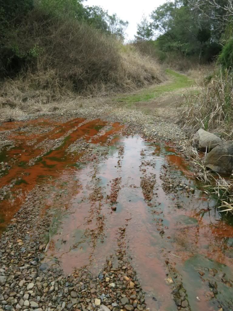
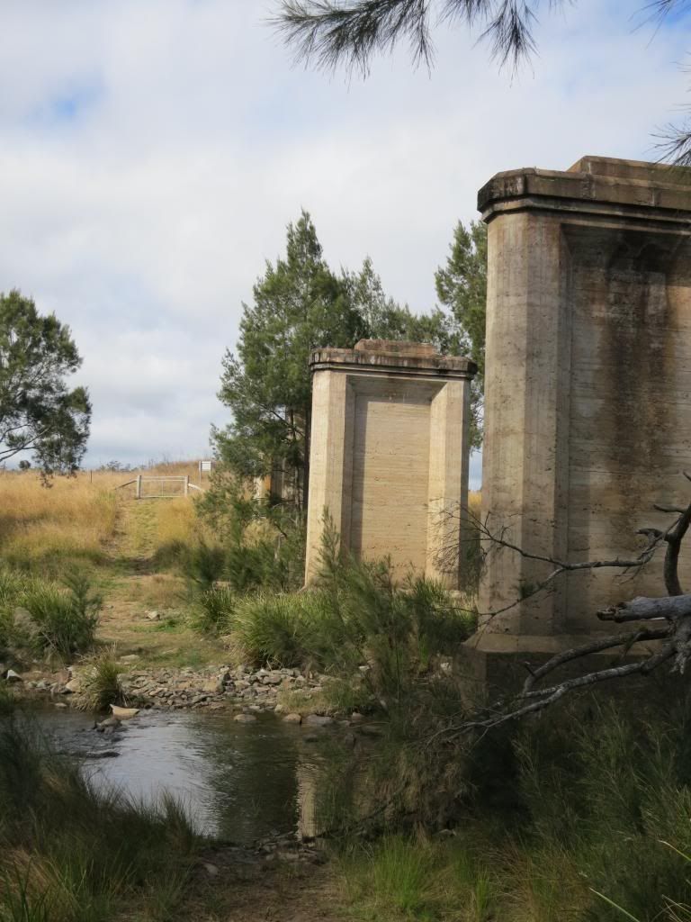
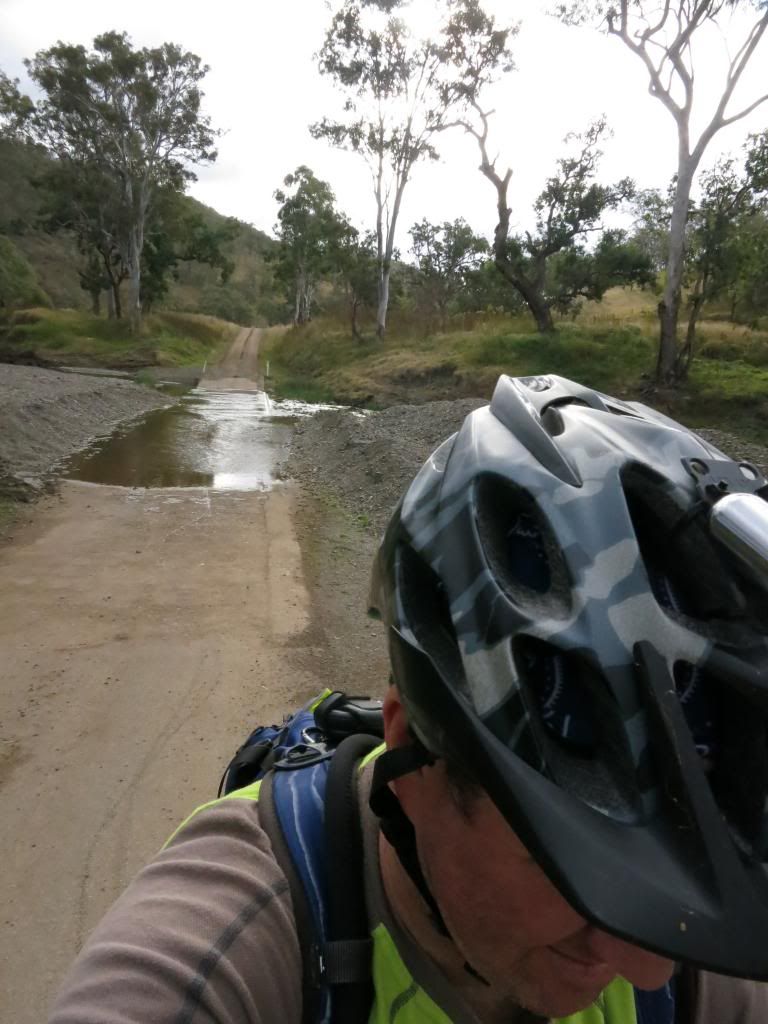
Coming to a creek with the remnants of a large rail bridge the trail dropped into said creek, which was flowing swiftly. For a fraction of a second I thought about taking the main road, with it's nice, dry bridge across the creek but chastised myself instantly for not being true to the adventure. Looking for a way to "rock hop" across the creek, I gave myself an upper-cut, picked my bike up and waded across. First wet feet of the day!
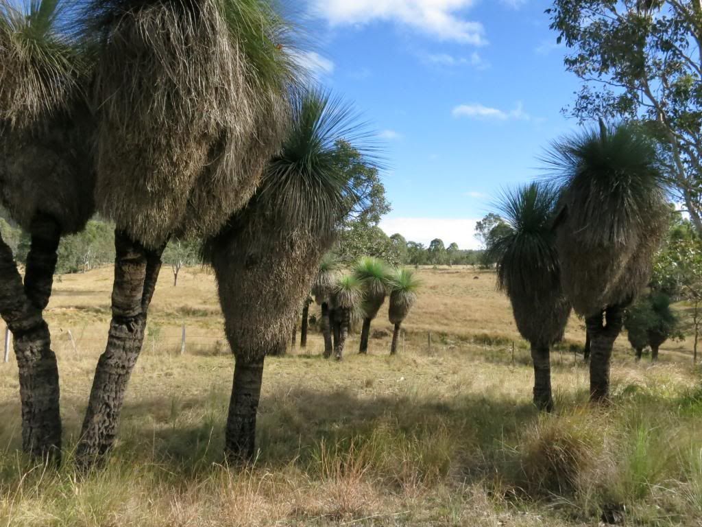
The trail was quite nice with some pretty amazing looking "black boy" trees growing in clumps along the trail. Rounding one bend I saw a clump that even had
my limited imagination working overtime, as it looked like an ancient group of Aboriginals having a meeting.
Another chilly little creek crossing on the outskirts of Yarraman kept my feet moist. Great!
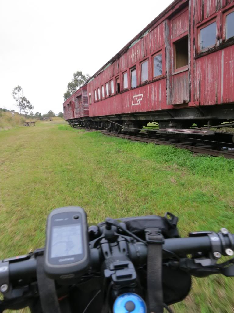
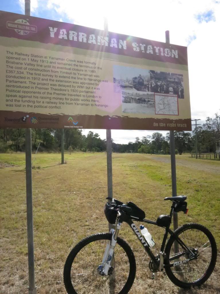
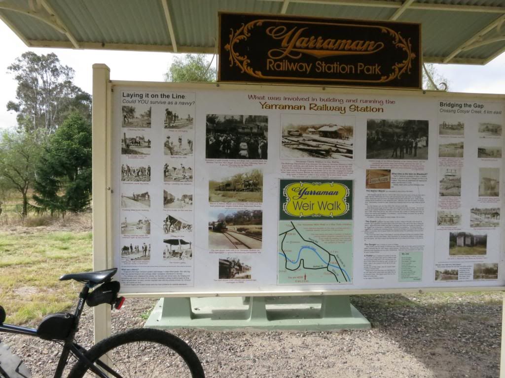
Finally rolling into Yarraman I spent a few minutes looking at the information signs on the site of the old railway station.
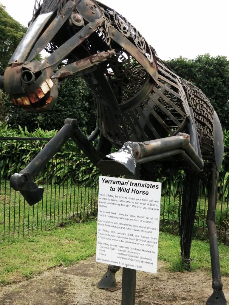
Yarraman looks like an interesting little town but I was taking no time to explore its delights today. A quick lube of my now squeaking chain, a protein bar and it was back on the bike, passing the Yarraman(wild horse) on the way out of town.
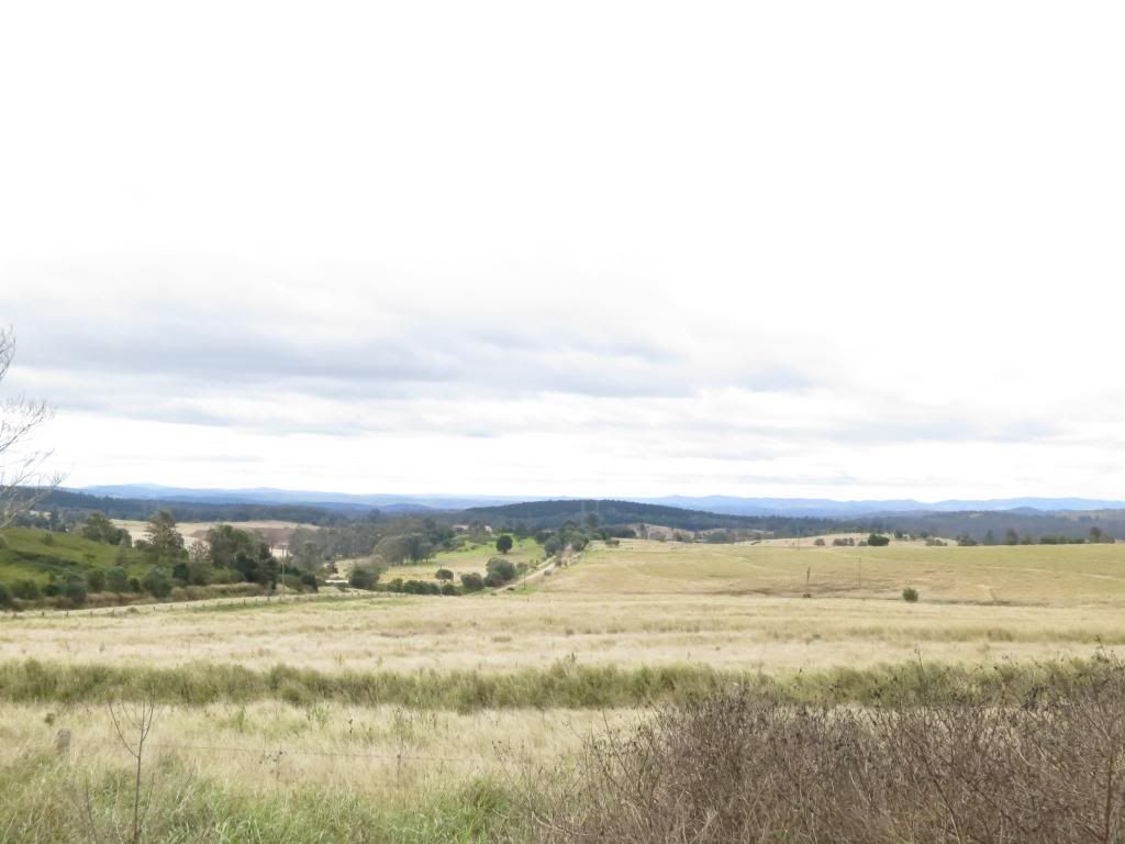
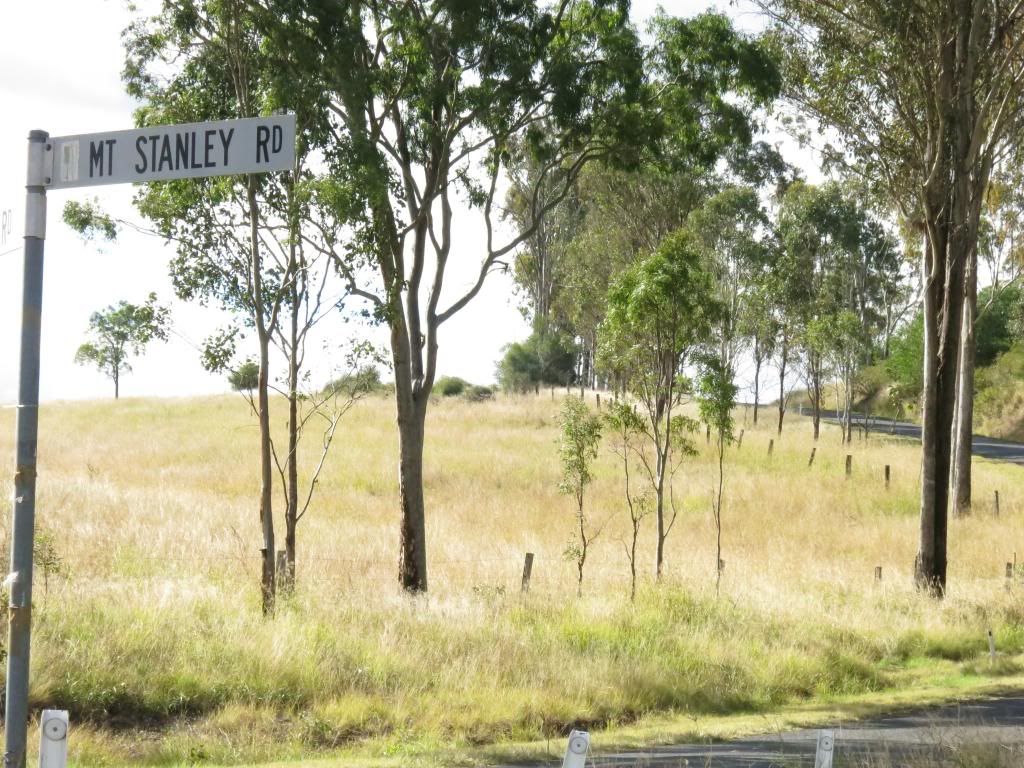
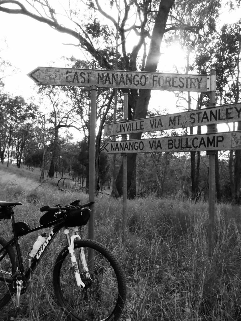
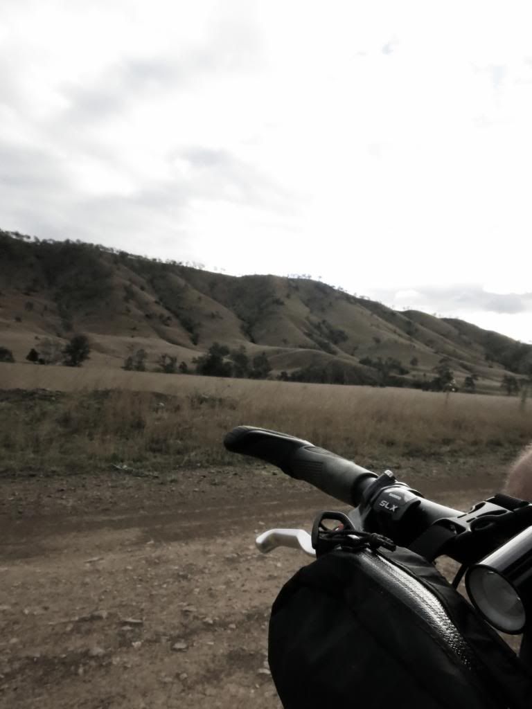
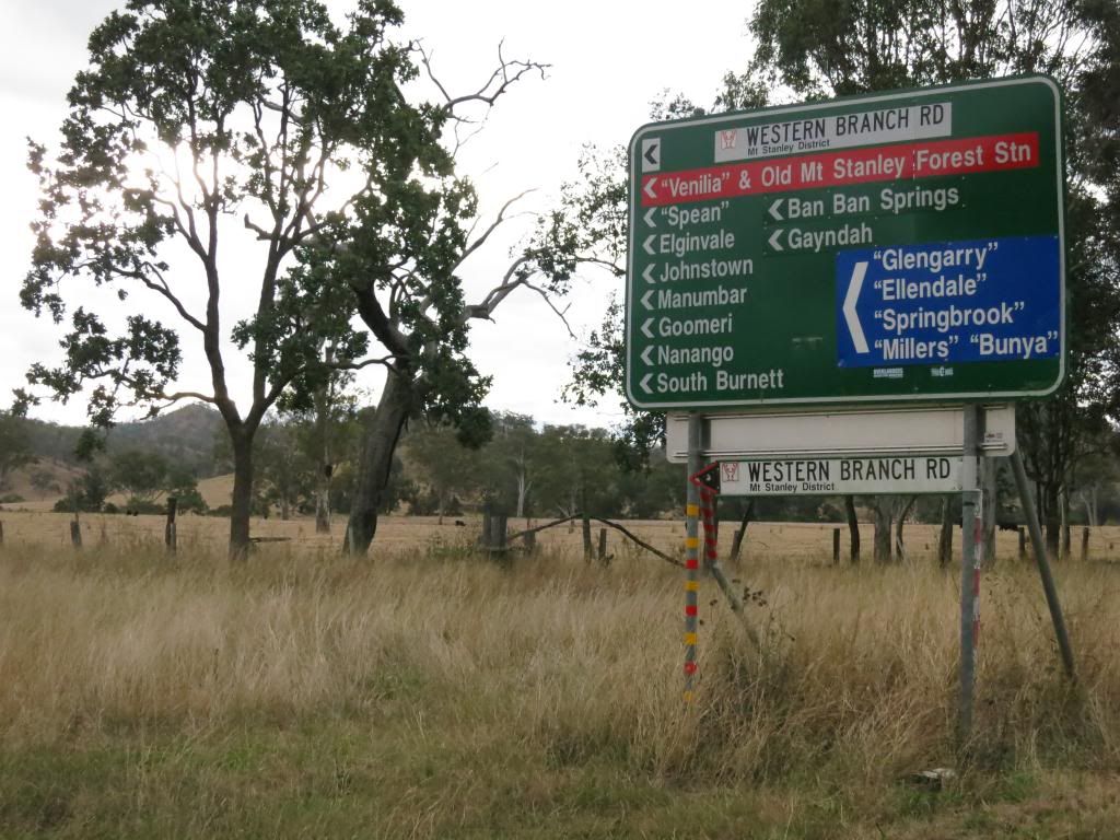
I paused for a breath and to soak in the view over the countryside I was about to traverse. It didn't look too daunting but I was about to feel very isolated and alone as I followed Neil and Eric's gps track to Nanango.
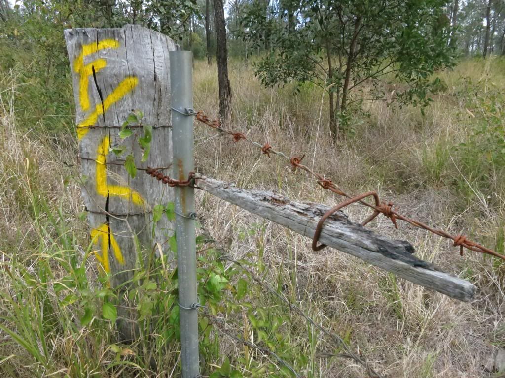
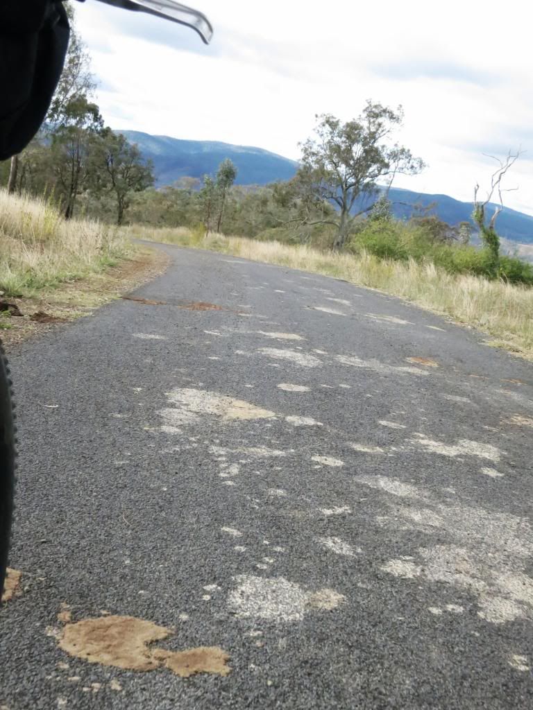
Dirt road felt so easy to pedal along after the bumpy grass of the rail trail. I even enjoyed opening a few "bush gates" with their #8 wire and stick fastening systems. Bush ingenuity at it's best.
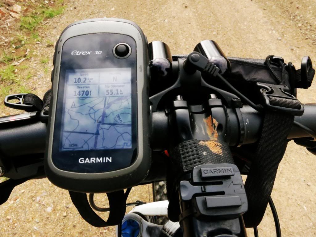
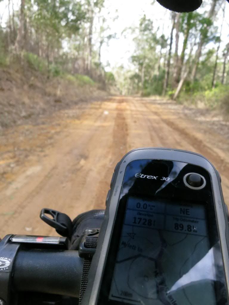
As I worked my way deeper into the backcountry I found myself thinking "I hope my bike doesn't break now!" As it would be a loooooong walk out. I also noted the while I had a map and my Garmin eTrex had a compass on it, if my gps packed up on me I would be in trouble orientating myself with this overcast. A compass is now on the shopping list.
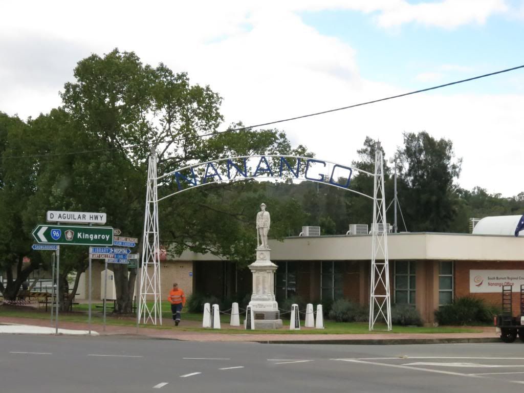
It seemed to take quite a while to work my way to Nanango. When I finally rolled into town my odometer was showing 76km and my legs felt like they had done more than that. I cruised into the roadhouse, ordering a burger, an iced coffee and a slice of cake. The burger hardly touched the side as I scarfed it down while perusing the map and watching some guy try to start his chainsaw for about five minutes.
For what reason I have no idea why. He got it out of the boot of his car, pulled and pulled and pulled on the started rope, then cursed and pulled some more. I was pissing myself inside as it was the exact same model as my chainsaw, which can be a bit temperamental. As he didn't even give me a g'day(probably because I looked like some pussy cyclist in my riding gear) I didn't offer any assistance. He eventually gave up, putting the saw back in the boot and driving off. This made me wonder why he had decided to start it in the park in the first place?!?
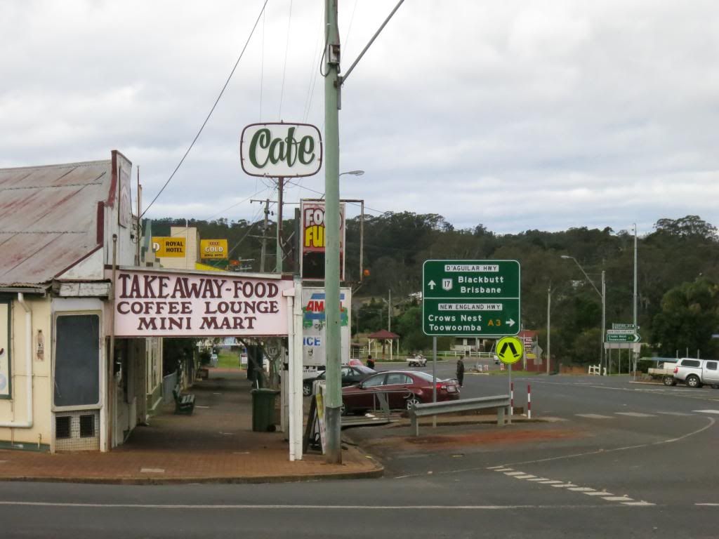
Nanango township looked interesting as well. Another town to come back and explore at leisure(chainsaw optional). Today had to be all business. Getting the job done.
Getting the job done involved not seeing another soul for about 2 1/2 hours. Leaving East Nanango I waved to a dump truck driver and that was it until I rode up behind a guy on a horse after a loong time riding alone. Not that the scenery wasn't interesting. It was just my mind was playing the "what do you do if this breaks now" game. Silly mind! And I didn't have any beers to quieten it down with! Maybe I should put a hip flask on the shopping list as well? Or perhaps learn to recite some Banjo Patterson or Henry Lawson as I pedal along. That would be more constructive.....
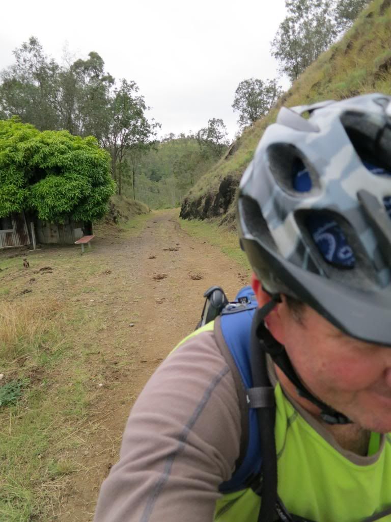
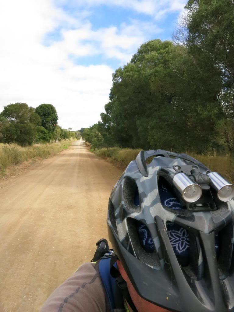
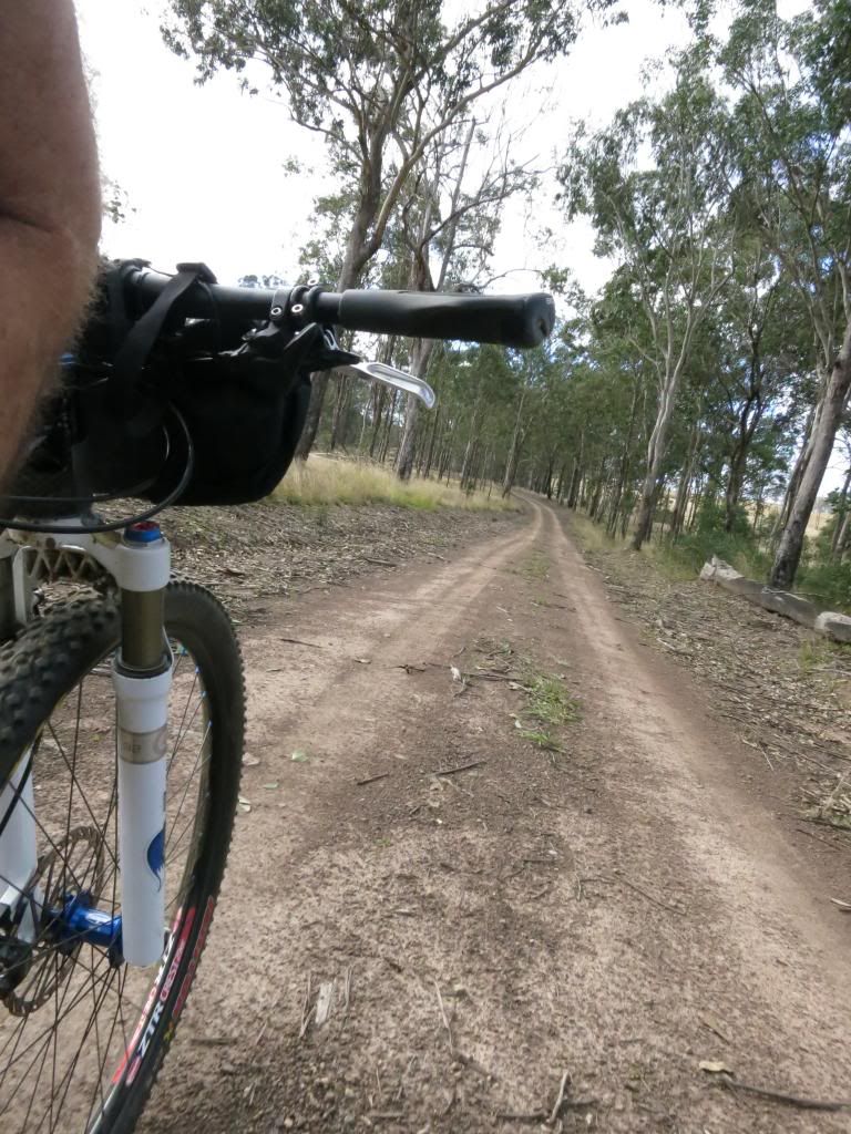
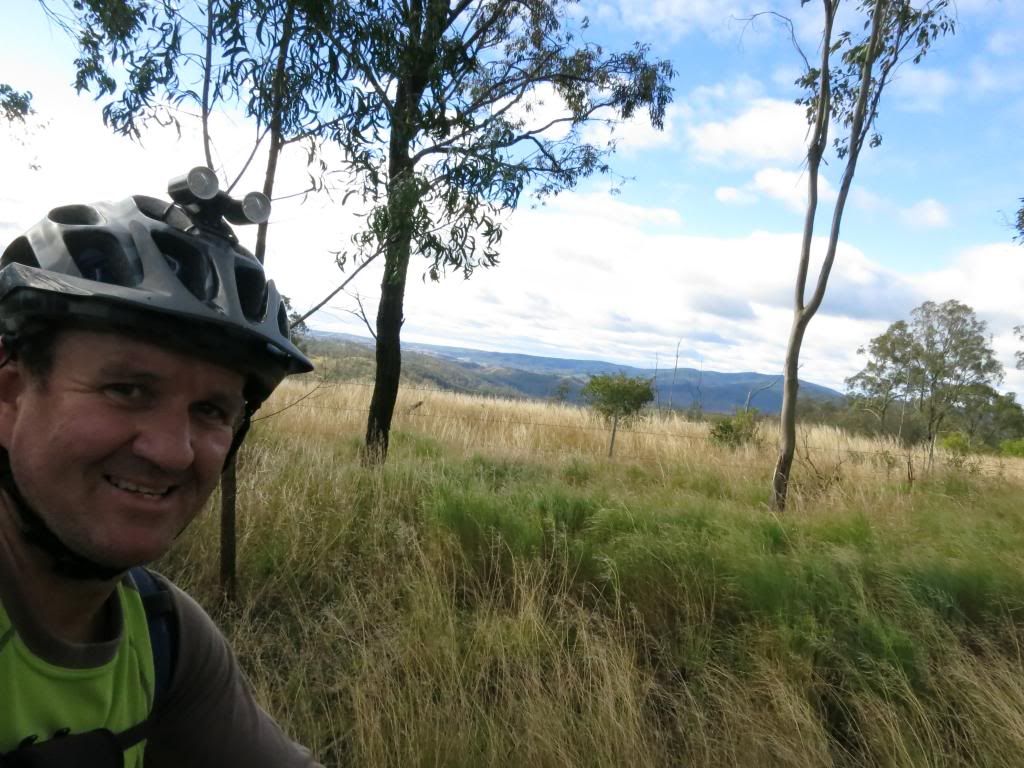
The next section of trail consisted of "rollers". The road went over a hill, down the other side, up the next hill, down the other side of that one. Repeat again. It was tough on tired legs but I amused myself by pulling out the camera and indulging in some "selfies" and other such carry-on.
I then came to the hill that made me choose to do this loop in a clockwise direction. Initially I was inclined to attack it anti-clockwise but on closer inspection of the elevation profile(via
Neil's mapping tutorial) I decided against going up the climb. Bombing down looked much more fun only I didn't account for the stupid cattle that were on the road though. They wouldn't run off the road, instead trotting along the road meaning I had to ride the brakes for several kilometres before they tried the tactic of moving away from the road, not along it to escape me!
Now I was pointing in the direction of the car, along Branch Creek Rd. I was just unsure of exactly how far I had to go. Nothing for it but to keep turning the pedals.
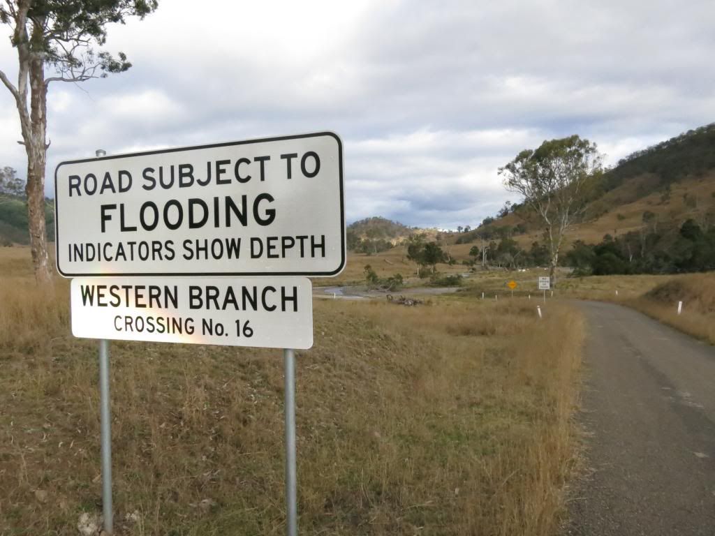
And turn them I did. The hill slide by on both sides. I crossed numerous low level crossings. Most with no water over the road. It was easy going that gave me time to concentrate on the sore bits of my body. The slight saddle discomfort rose. The sore palms got sorer. Every little niggle, ache or pain seemed to be getting magnified out of proportion.
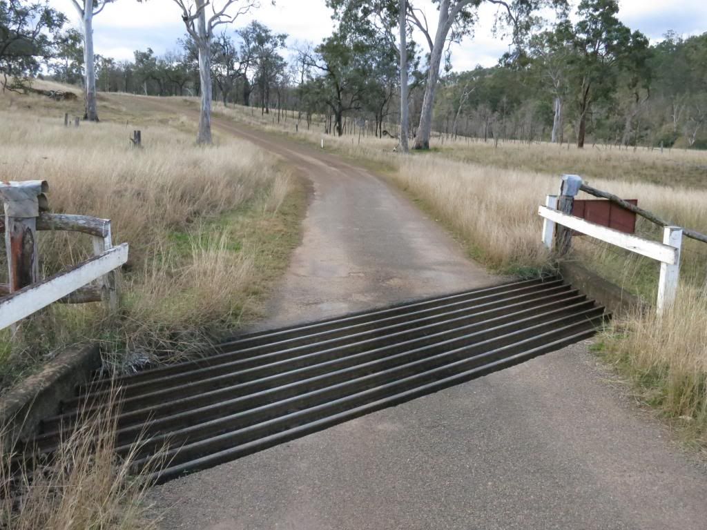
I crossed the most stupid "only in Queensland" cattle grid that was angled across the roadway. It was like they built it to deliberately trying to catch motorists out.
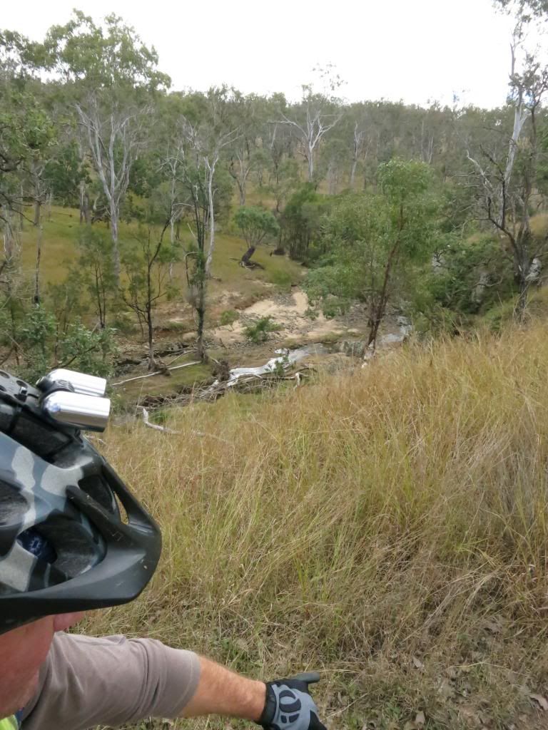
I met a young guy on a horse tending some cattle at one of the creek crossings and chatted to him for a few minutes. To my coastal eye it was looking dry out this way but he corrected me by saying things were actually pretty green for the time of year.
The cattle certainly reflected this, looking plump and contented. He also pointed out to me the damage to the trees along the river from the terrible 2011 floods. "See that damaged bark up there? That is where the water level got to!" "Holy crap" is all I could think as the damage in the trees was about 30ft up the trunks. The amount of water that flowed down here was incomprehensible to someone that hadn't actually seen it.
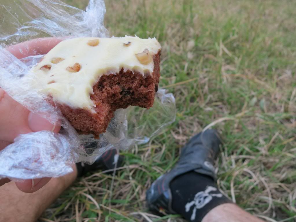
I decided to stop and have the piece of cake that I had been carrying for the last 50km for afternoon tea. I had been working hard and boy, did it taste good!!
The sun was getting low in the sky by now and it was with some relief that I came to the intersection of Monsildale Rd. I knew it was only 13km(8mi) onwards to the car from this point. Phew!
Turning on my lights I found that I had lost another tail light! Bugger me, that is the third one that has jumped ship and I haven't had one long enough to run it's original battery flat! Time to try something other than a Basta Super Flash I think.
I rolled through Linville at pretty much top speed and made it back to Moore right on last light.
That was a pretty long day in the saddle but I was stoked on so many levels! One, I had made it. Two, my bike had performed flawlessly. Three, my GPS had not doublecrossed me in the middle of nowhere. Four, apart from my Nanango burger, iced coffee and cake all I had eaten was a small bag of nuts and two protein bars for the day and I wasn't feeling hungry or (totally)spent at all. All bloody good outcomes from a training ride of this magnitude and very pleasing to see that my preparation kept up with my ambitions this time.
Total stats for the ride are
here.
While my average moving speed was a pleasing 18km/h(11mph), for the life of me I can't seem to get my overall average speed above 15km/h(9mph) no matter how long or short the ride is. Perhaps that can be my next goal to rest less.....?!
Cheers and thanks for checkin' in.