Showing posts with label Mansfield. Show all posts

Friday, March 2, 2012

Bagging Buller II

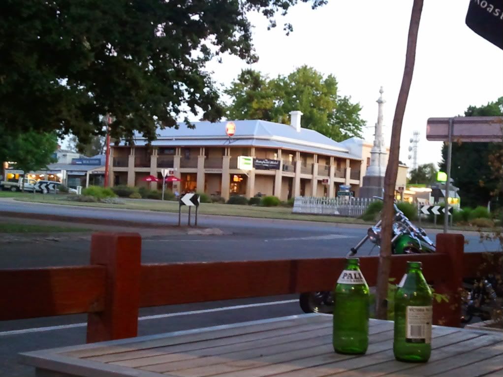
We eventually found the last room in Mansfield. It was located in the very pleasant Delatite Hotel and despite it not being airconditioned (on a 38 degree C Day) we grabbed it, thankfully. We decided to spread the wealth and ate at the Mansfield Hotel, just across the main street. They have a beautiful beer garden and the food was quite tasty.

The Mansfield Hotel as seen from the Delatite Hotel.


Up early the next morning, we joined the masses at what must be the only coffee shop open early on sunday mornings. Mansfield is actually a thriving little community, very different to the sleepy fuel stop I remember fiffteen years ago, as we rode our motorcycles down to Phillip Island.

Suitably refuelled, we again headed for The Mountain to have a look at SoneFly. We climbed the mountain in the comfort of the car, with the sky getting ominously darker. As rain drops began to spatter the windscreen I recalled an old Australian saying that is more often applied to Melbourne, but will suffice to describe the whole state of Victoria for me. "If you don't like the weather, wait 15 minutes because it will change"! Even though the forecast was for another 38 degree C scorcher, the actual weather at the top was 14 degrees C and about 100 metres visibility. Not a huge problem in itself, but the rain was making it a little uncomfortable.


We weren't the only ones caught by surprise. Several motorcyclists were hunkered down in a coffee shop waiting for the rain to clear as they had not thought to bring wet weather gear, while revellers from last night's concert were getting about in black garbage bags-cum-rain ponchos.

After looking at the BOM radar site and seeing that the only rain in Victoria was at Mt Buller and was moving quickly through, we decided to wait an hour or so and then head out. After all, we had all day to ride. There was no rush for once.


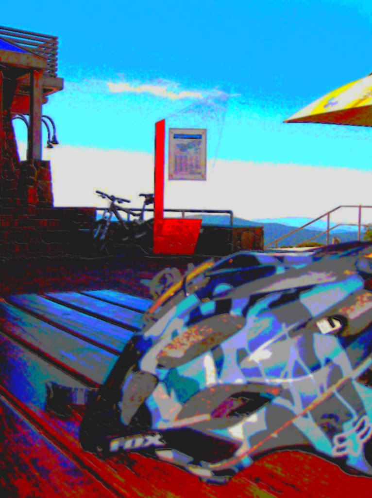
After about two hours wait the rain had stopped but we were still shrouded in cloud. We decided to gear up and head out for a look
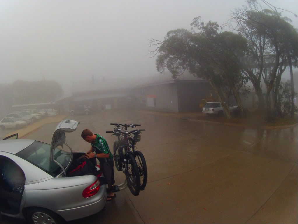


Gang Gangs trail was quite grippy in the wet. Loamy soil and granite rock works well when wet and the tree roots were easily avoidable, so confidence was high of a successful day in the saddle.
That was until we got onto the fire road over toward Howqua Gap. The granite roads and the rain were forming a grinding past that was "white anting" our bikes, even as we pedalled along. With the thought of having no brakes left and being quite a way from the village, we very reluctantly decided to call it on the day and head back to Melbourne and hit up some trail there.
Marcus is no stranger to having to make hard calls. He was on a Mt Everest climb last year when his team had to make a call to turn back from about 25 000ft due to an approaching storm. His group turned back, but another group in the same area decided to press on. One of their team died of exposure. A tough call with all the training and preparation that goes into a summit attempt but it just isn't worth the consequences. Not that today's call was that critical!

So, StoneFly will have to wait for another trip. As we backtracked we came across some more of world trails latest handywork as seen here. Given a few more years, I am sure that more of these link trails will be completed and the uninspiring fire roads will be removed from the mountain bike network.


The seven second sum-up? As it stands, as a cross country rider, I probably wouldn't make a trip to Mt Buller just to ride the trails unless you were planning to spend 4 or 5 days there and soak up the total experience. The location is beautiful, but there are better trails that are much easier to access in other parts of the country if you have limited time and/or budget. My opinion needs to be seen through the prism of us not actually getting to ride Stonefly. Maybe that trail would have rocked our world and changed our perspective. I came here to "bag Buller" and add it to the list of places I have ridden, but feel that I am "bagging Buller" instead......


Plan B for the rest of the day was to drive back to Melbourne and have a look at the You Yangs trails.
When we got back to Melbourne a couple of hours later the temperature was in the mid 30s celcuis and very dry. Good!
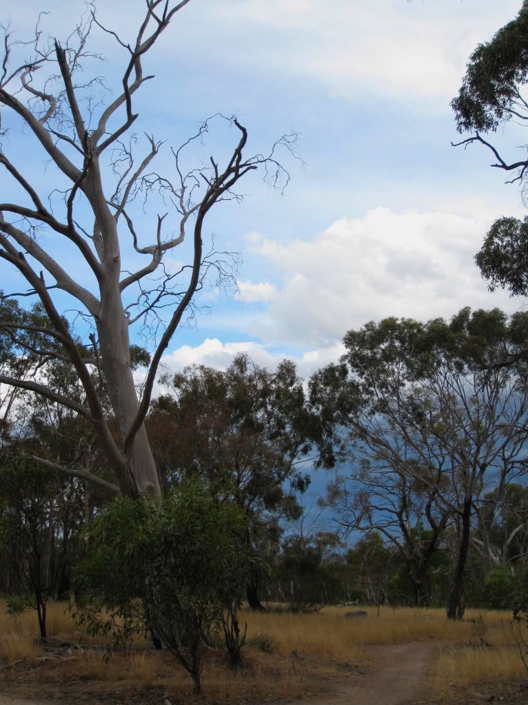
The You Yangs themselves are a small range of hills covered in stunted gums. There is no ground cover beneath the canopy which makes the area look very bleak to a Queenslander more accustomed to seeing greenery everywhere.


The trails themselves are bloody good fun though! They are extremely flowy with small technical features to launch off and pump on.
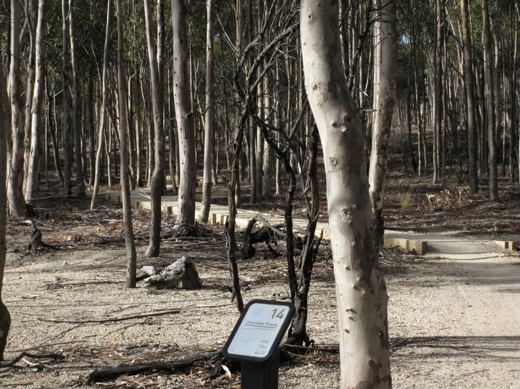

The climbs are very sneaky, as they are flowy as well. You find yourself pushing very hard on the climbs just because you feel like you should be going faster.
We hooked a couple of laps of the western trails before bad light stopped play. We were also about to get wet again with a line of thunderstorms approaching.


We retreated to Marcus's place to recover with pizza and beers and to plan our next interstate mountain biking experience. I have been told that Forrest is the Rotorua of Australia. Fingers crossed for some dry weather......


Monday, February 27, 2012

Bagging Buller

I have been missing in action these last few weeks.

Things have been getting very hectic, with work demanding a large slice of my time.

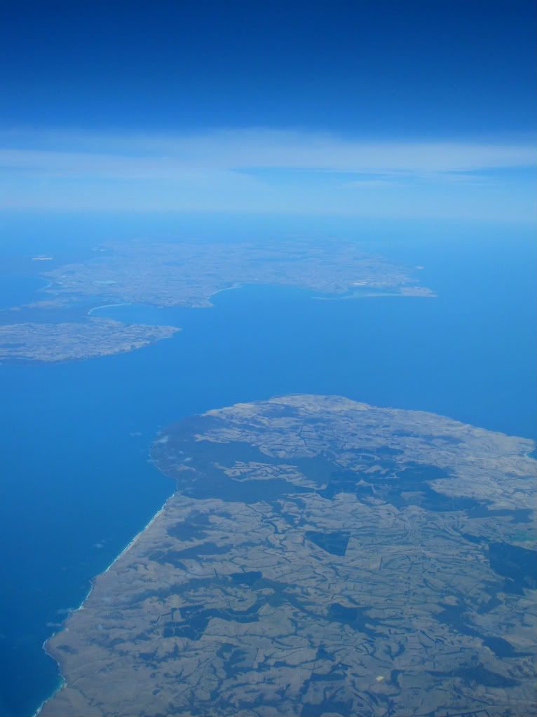
Looking south west, across the tip of the Fleurieu Peninsula, to Kangaroo Island from 38 000 feet.

 This, combined with trail building and trying to fit a ride or two into the schedule has seen time absolutely fly by and regular maintenance at Flyboy HQ go sadly wanting.

My main excuse for not posting anything is that when I am away at work I have no interwebs access, so it has to wait until I arrive home again. Here in Oztraylia there is no such beast as free internet access at a hotel, unlike the rest of the western world.

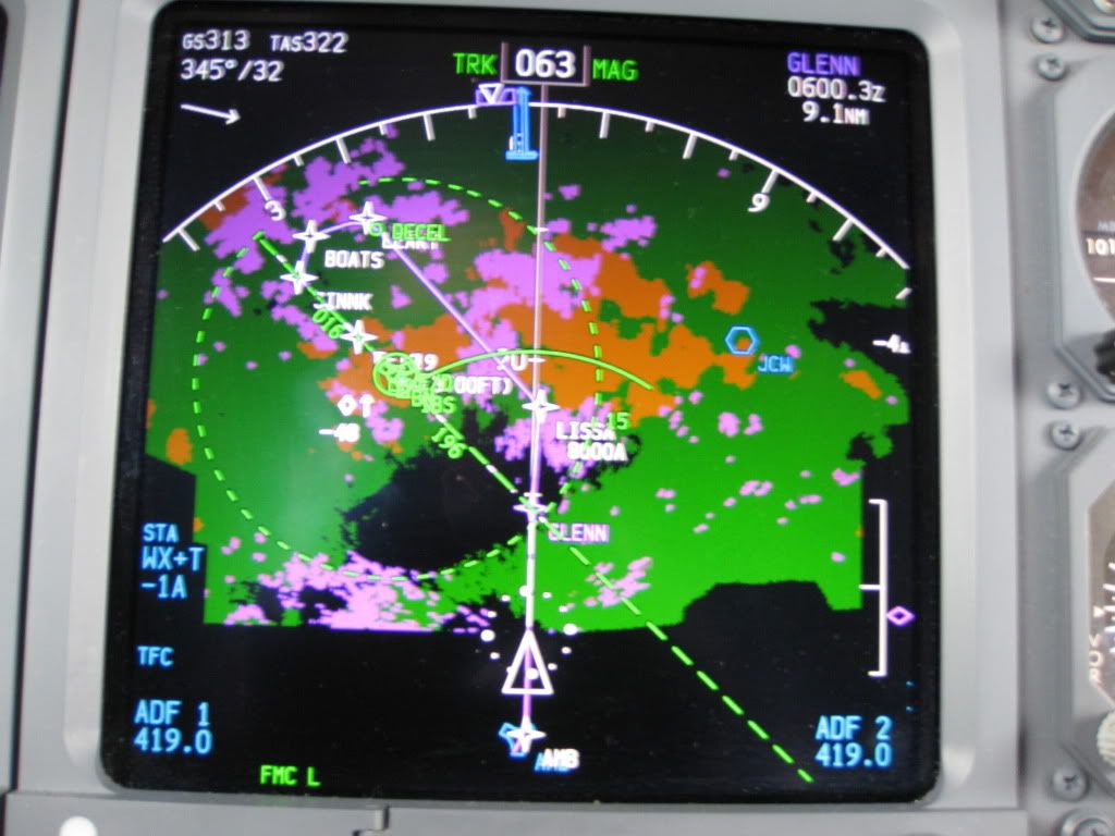
This week just gone by ended  four days away, late Friday night, with an exciting landing in the belting rain here in Brisbane.

Green and yellow is precipitation. The pink is turbulence!! Yay for eyeball bounce!!

Did I mention it decided to rain again? No? Well we had something like 200 millimetres (8 inches) of rain on Friday which put paid to any advances in the trail building world. Not that I was going to take part in that particular days building anyway. My cunning plan to head south for a ride had finally come to fruition and was looking all the more cunning, as Victoria was forecast to have temperatures in the high 30s (90s F) and in particular, Mt Buller predicted to have high 20s. Couldn't have planned it better!

So, after a restful three hours sleep, I was back at the airport to board a flight to Melbourne. Luckily, I had pre- packed my gear, knowing how tight my turn around time would be friday night. Marcus, a work collegue and fellow Trek Fuel Ex8 riding MTBer was picking me up and whisking me to Mt Buller, a mere two hour drive away.

There is a MTB in there somewhere...

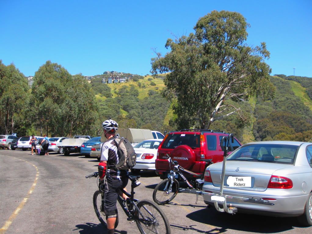
On arrival at Mt Buller, we were informed that Tex Perkins, the man responsible for the music in this post, was hosting his "Man in Black" Johnny Cash tribute concert that night and we couldn't drive all the way up to the village. We had to park lower down and climb two kilometres up to the village proper, a sure fire method to get the legs warmed up!


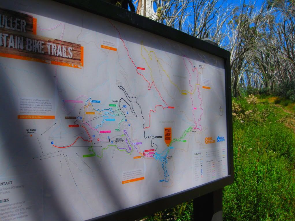
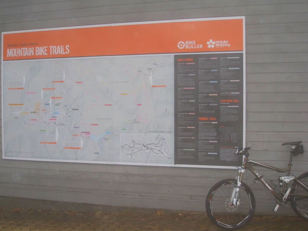
Once up in the village we quickly obtained a trail map from one of the MTB stores and headed out to hit the trails. The plan was to head out to Howqua Gap and back, so Gang Gangs was the first trail in the network that we needed to make this happen. My lack of sleep definitely put me on the back foot, even more than usual, skills-wise and I was glad we had decided to hold off on attacking the signature trail, StoneFly, until sunday when I would be well rested and sharp...ish. 

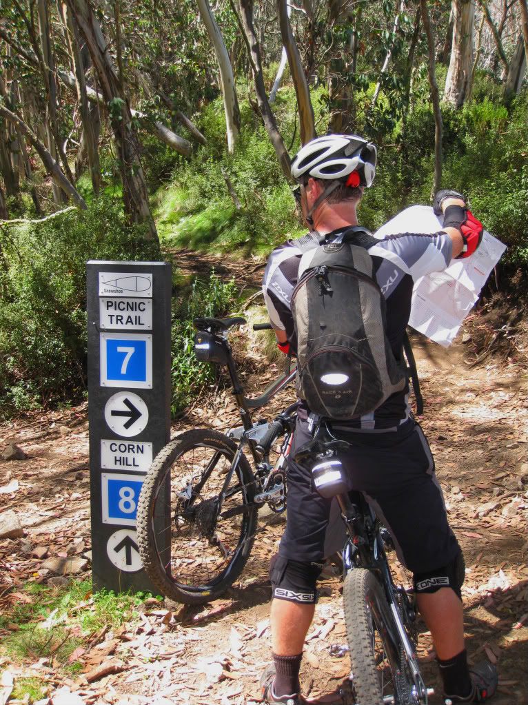
How many pilots does it take to find a trail? The picnic trail was no..er...picnic...

The trails out to Picnic Trail were quite nice. Then we hit Silk Lane outbound. Instead of MTB trail, it was just a steep downhill fire road with lots of large, loose rocks threatening to launch you over the bars when you least expected it. I must admit to feeling a bit dissapointed to lose so much elevation on such a nothing trail when we had enjoyed flowy single track leading up to this.


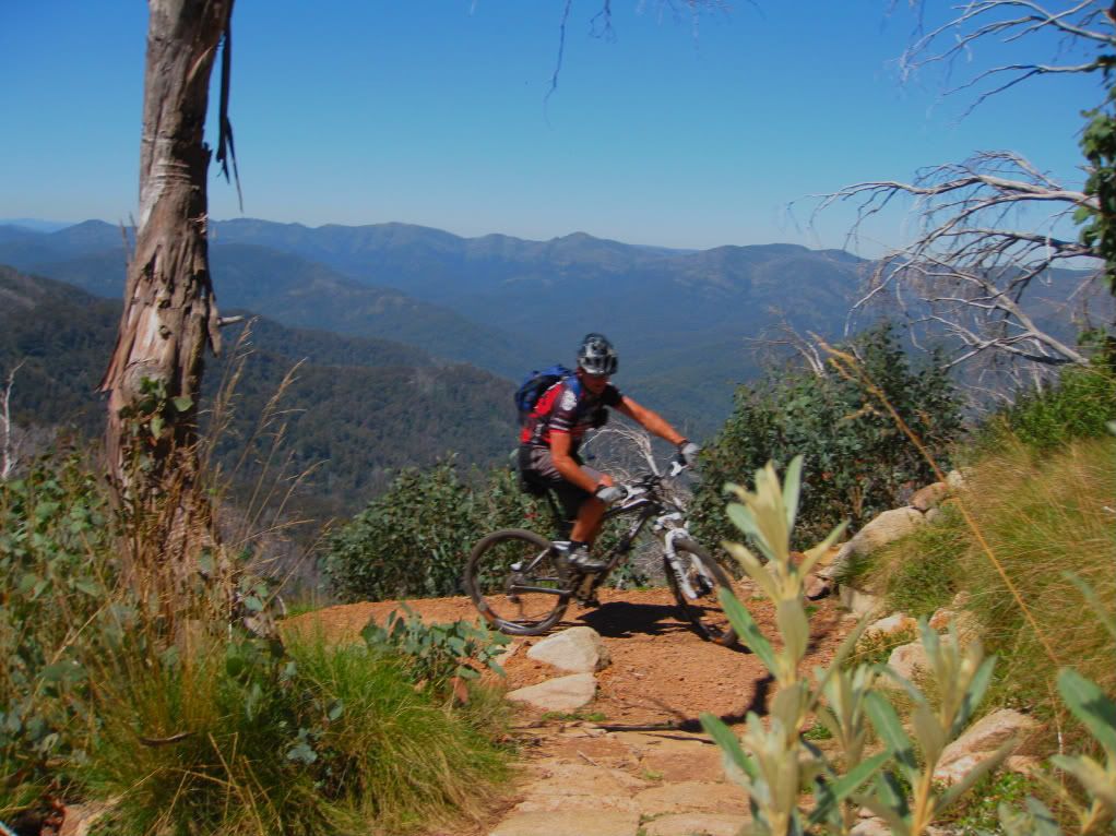
 The climb back up the Silk Lane singletrack, onto Corn Hill proved to be an uninspiring slog for the most part with stupidly tight switchback climbs better suited to walkers, not riders. The view at times was the saving grace through this piece of trail. The location certainly is sweeeeet, if not the trail at times. My advice would be to ride this trail in reverse. Go down the single track and climb back up the fire road. Probably totally against the rules, but there you go...


Breaking for a bite to eat at the entrance to Corn Hill trail, I couldn't help but feel a bit under-inspired so far. 


Sure, I was very sleep deprived. I am also a bit spoilt, getting to ride a lot of cool trails around this country and New Zealand. But I was trying to be as objective as I could. Many different sources had talked Mt Buller up over a couple of year period and I just wasn't finding the trails as "advertised". Where was the World Trail flow? So far, compared to this we have better trails at Mt Joyce, just a 1 hour drive from Brisbane. Maybe not quite the same setting (ok, nothing like this setting!!), but I was looking at the overall, wholistic experience and I was there to ride afterall.


Misty Twisty sounded like a trail with a lot of potential. Dropping down the mountainside through a large series of switchbacks, how could you go wrong? Well, you could make those corners tight and make many of them totally blind, with no sight line through the corner. Then, just for fun, make the climb out via 400 uber tight switchbacks that are about 30% unrideable to a sleepless zombie. Back at the Corn Hill junction I was hoping that StoneFly was going to be a brain-fryingly-awesome trail! 


Time to drop down Corn Hill and head back to Buller Village then hit up Copperhead. Wait a minute..what is this? Corn Hill is a flowy, fast, heart-in-mouth at times, holler out loud, hoot of a trail! THIS is what we were expecting from Mt Buller!! Unfortunately, the fun is over all too soon, but leaves a huge grin on my zombie face.


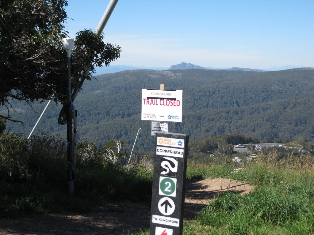
Back in Buller village, we top up with water, then climb towards the mountain summit. The summit hides the trail head for the latest Mt Buller feature, namely Copperhead. 
The following promo video is shot totally in the bottom 30% of the trail. The upper trail looks nothing like this. False advertising?


Now this puppy would ideally suit an All Mountain Bike, Downhill Bike or at least a cross country dually with aggressive tyres fitted. I didn't have any of the above, so hit the trail with my over-inflated Maxxis Advantages! About a third of the way down I stopped to let some pressure out of my tyres and instantly began to enjoy this trail for the insane altitude drop that it is. Don't underestimate the ability of the humble Advantage!
The first two-thirds isn't particularly inspiring, as the trail just hops across a steeply downhill fire road.


Closer to the bottom it begins to wind through huge gum trees and demands deep comittment from the rider. Great stuff! Unfortunatley for us, the descent is huge and there is no chance of me climbing the mountain to ride Copperhead again today. For those of you keen to shuttle, the ticket is $48 a day.

After a short climb back to the car, we are quickly loaded and driving back down the mountain, still buzzing from the Copperhead experience. And I have always thought the only good snake was a dead snake....

Time to find some accomodation and fuel back in Mansfield. Did I mention the Man in Black concert? What about the two weddings and the 21st birthday that were on in town? Small country towns have limited accomodation at the best of times and we were in for an unexpected challenge......


What challenges would tomorrow bring?