
....continued from Part 2.....
As I lay in my sleeping bag in “the unit”, listening to the
rain on the roof, I was wondering what effect this might have on the river
levels at the numerous crossings I was to negotiate today? I was also pleased
that I was sleeping in a warm, dry place and not having to pack heavy, wet gear
onto my bike. Yesterday taxed the legs a lot and I didn’t need any more weight
to drag around. Yes, it was a good call
to stay in Jimna.

Heading out of Jimna this morning the legs felt a bit
“doughy”. Yesterday was a pretty tough day with all of the climbing and I was
unsure what today would bring. It might be 90km to Nanango, it might be 115km
to Yarraman or it might be 140km to Blackbutt with whatever climbing that
brought. The trouble with these plans was that it meant I would be starting
from Blackbutt at best on the last day. That would give me about 200km to ride
on the last day. Not really possible. The next best option would be to arrange
a pick up at Fernvale, something I wasn’t keen to do for two reasons. One, I
didn’t want to trouble anyone with having to pick me up and two, I really
wanted to complete the ride from and back to, my front door.
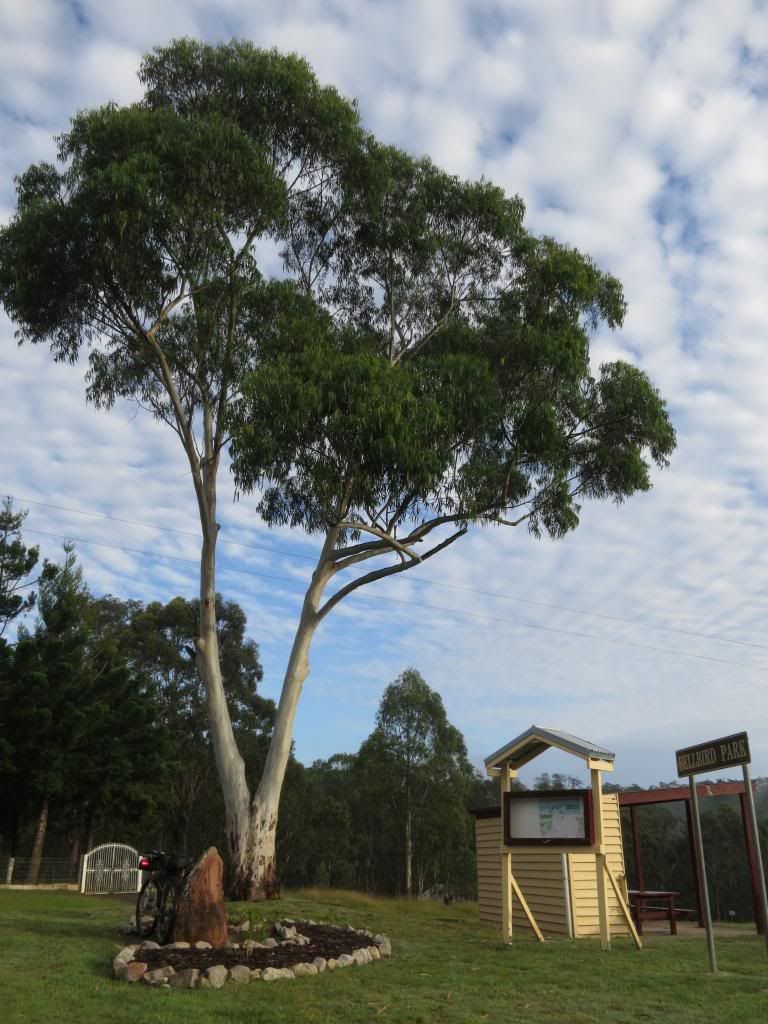
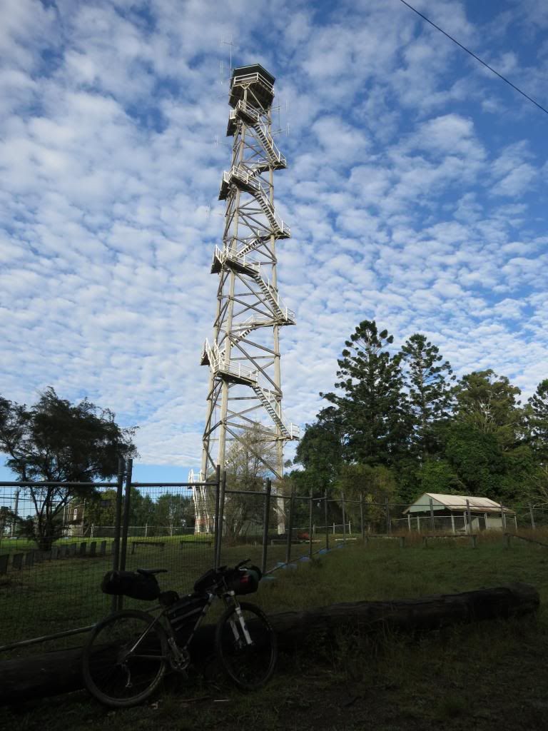
As I warmed up on the few kilometres out of Jimna toward the
Monsidale Rd turnoff I mulled over what route I should take. I stopped briefly
to look at the Jimna fire tower. A very impressive timber structure.

Dropping into Monsidlae Rd I enjoyed the long downhill
coast, but as always, in the back of my mind was wondering when I would have to “pay the
piper” for this descent.


It felt a bit like England Creek Rd in Brisbane Forest Park
and I notice that after the overnight rain I was amongst the first road users
for the day.

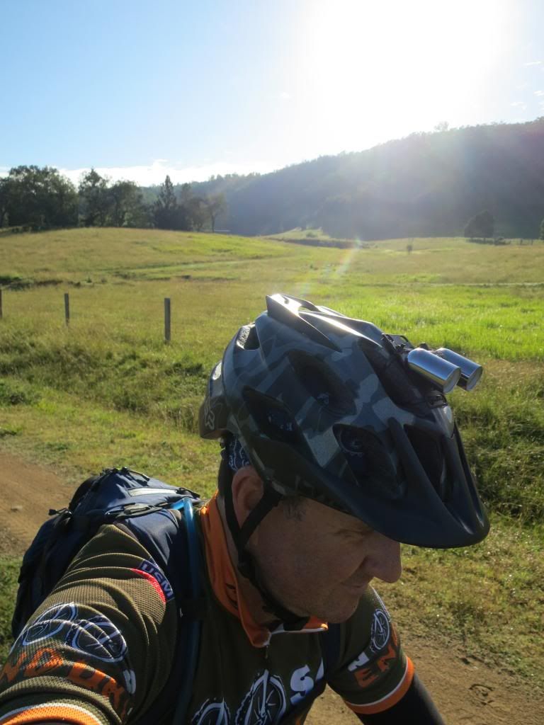
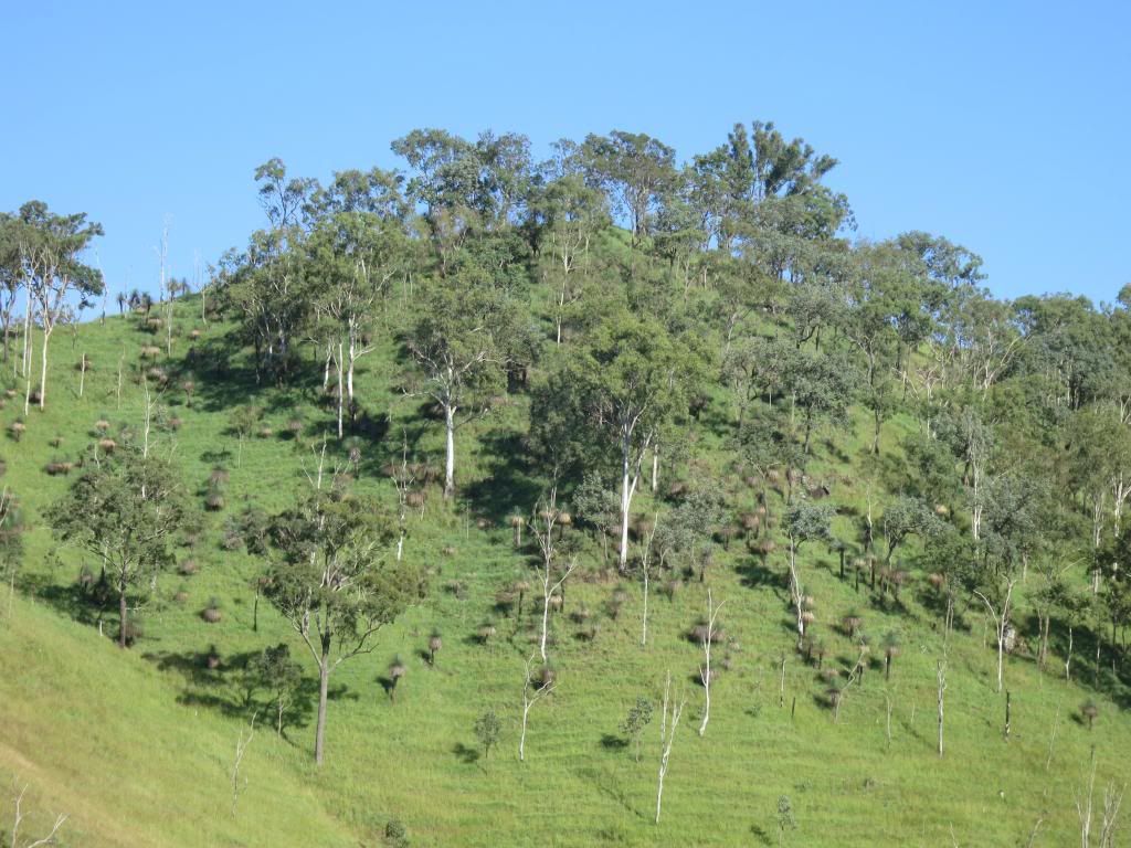
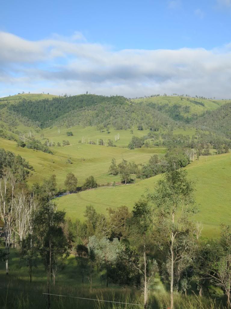
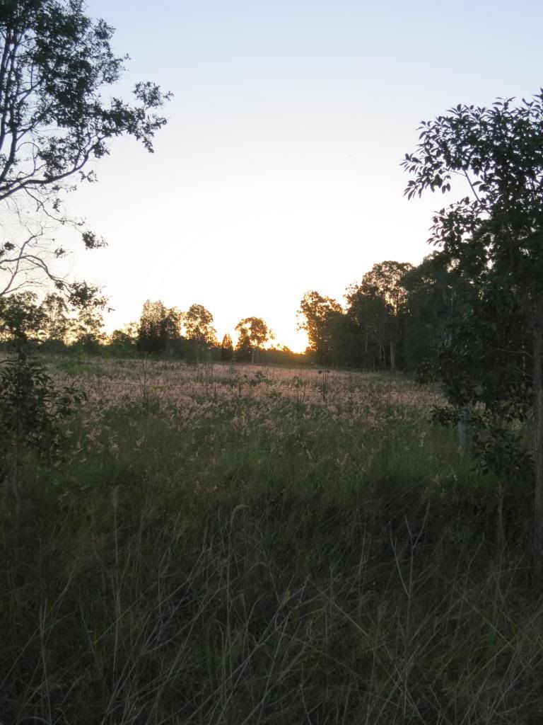
The countryside opened out to farming land with views that
went on forever.

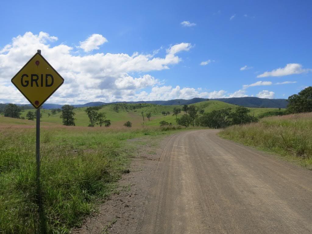
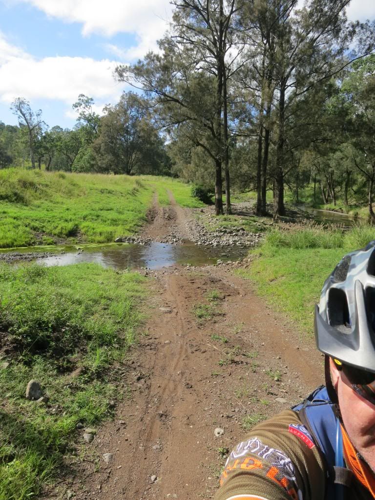
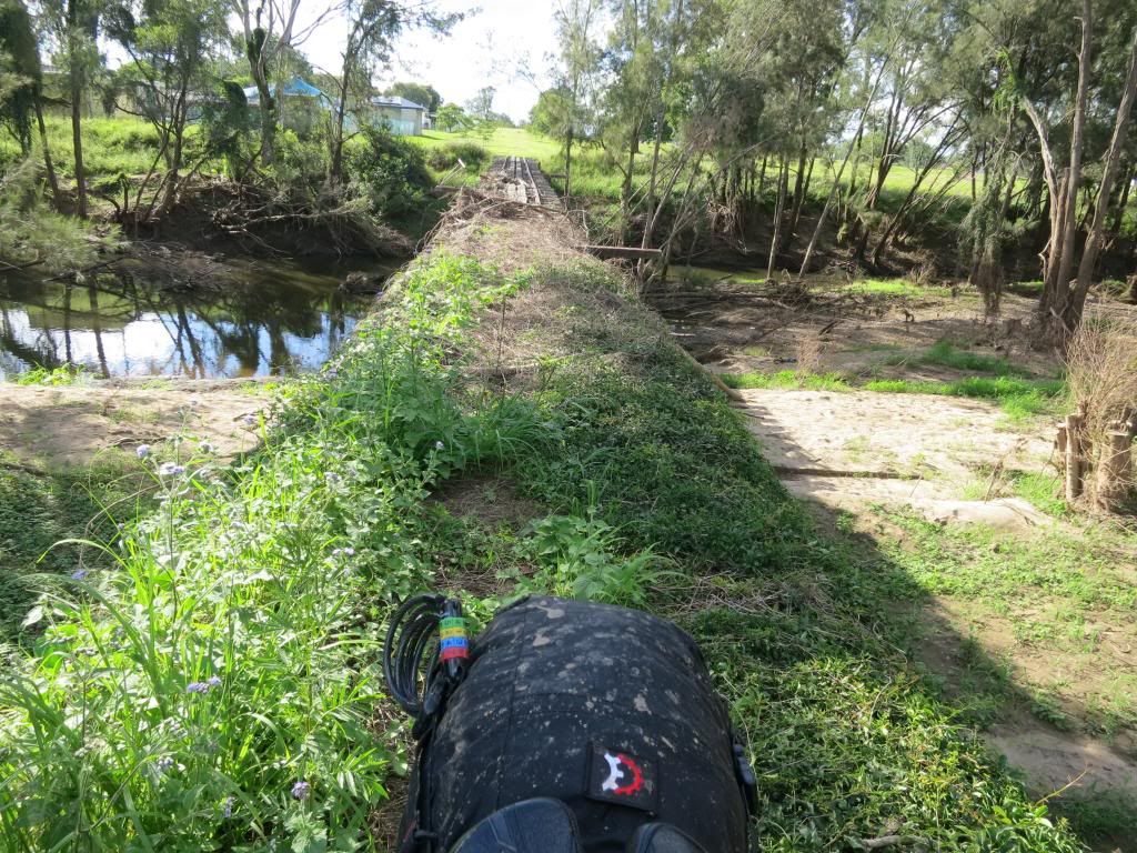
I was expecting a lot of river crossings today and the first one was encountered just near Monsidale. It was a very civilised concrete crossing that was covered in sand so that it felt like pedalling in custard to get across it. Wet feet. Before 8am. Again.

I was expecting a lot of river crossings today and the first one was encountered just near Monsidale. It was a very civilised concrete crossing that was covered in sand so that it felt like pedalling in custard to get across it. Wet feet. Before 8am. Again.

Not to worry though. It was another cracking clear morning.
I wasn’t at work so what could possibly be wrong with the world? (Apart from
the Boston Marathon bombing which I was blissfully unaware of). Just a bike to
pedal and lots of photos to take.

I had made a decision regarding the route for the day. I
would turn left on the Linville to Murgon Road instead of right. That would see
me tracking straight to Linville and save me about 100km(62mi). While slightly
disappointed at missing this section, I simply didn’t have the time to include it
in this trip. Another time perhaps?

As I came to an intersection that was signposted as
Louisavale Rd I confidently motored past as my road map showed that road
curling back up to the north. I needed to take Monsidale Rd to the west, along
Monsidale Creek. Reinforcing the idea was that the Louisavale Rd sign had a “no
through road” sign attached to it. This would be the first time I obeyed an
advisory sign on this trip and I should have stuck to my "normal" policy here.


Yep, of course that was the road I was meant to take to get
to Monsidale Creek! I could see a road on my gps that headed in the correct
direction and fell into a basic map reading trap of making the map fit the
surroundings and not the surroundings fit the map. A subtle but important
point.

So, after pedalling for another 30 minutes or so, I began thinking that the Louisavale Rd turn had to be the one, but as I rocketed down a range of hills was reluctant to make the climb back up to find out.
So, after pedalling for another 30 minutes or so, I began thinking that the Louisavale Rd turn had to be the one, but as I rocketed down a range of hills was reluctant to make the climb back up to find out.
Arriving at the “next road” that I had seen on the gps
revealed it to be not much more than a track. I spent some time here on the
corner of Tableland Rd ascertaining that it would link back to Louisavale Rd.
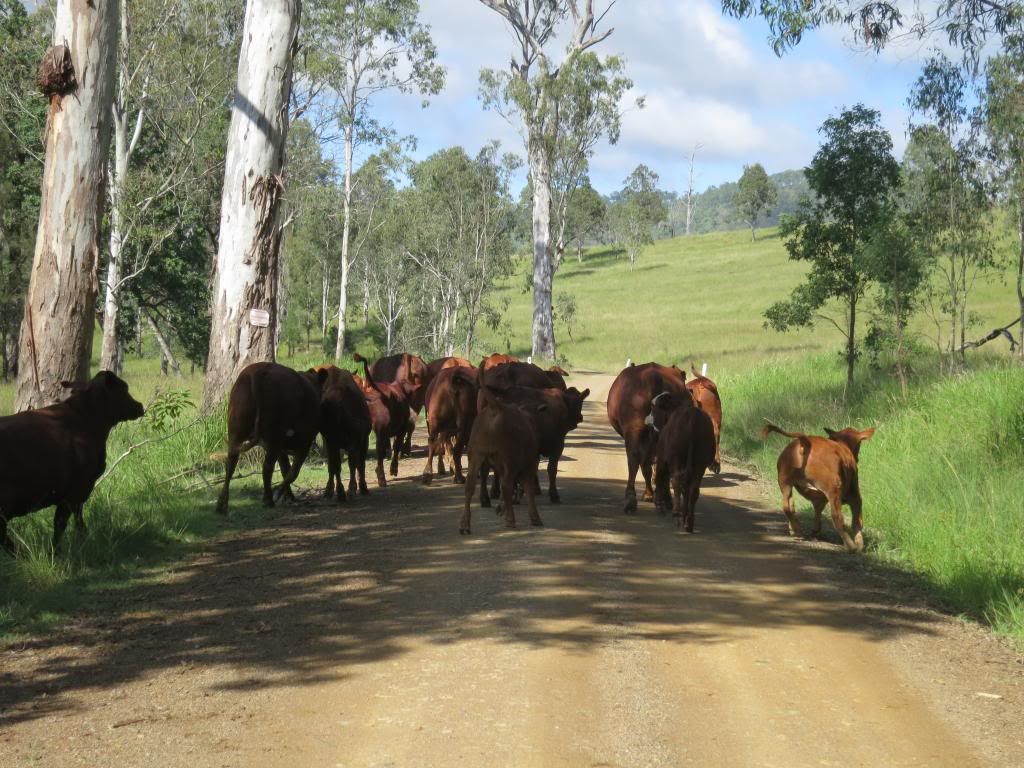
It would, eventually, so I headed off along it all the while watching a guy on
a horse trying to get a small herd of cattle through a gate, without much
success. I thought I knew a few swear words but boy, was I getting an
education! It also made me feel much better about being a bit off track.


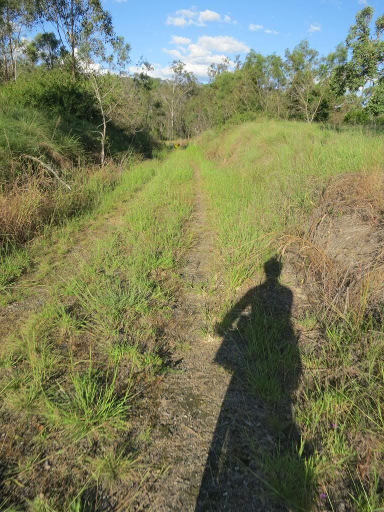
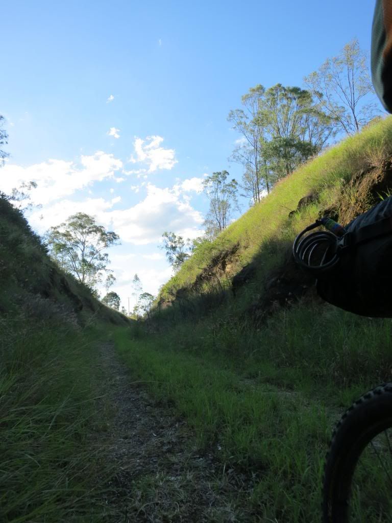
The short version of Tableland Rd is that it slowly
disappeared into a creek line with chin deep grass. Yes, that is the "road" below.

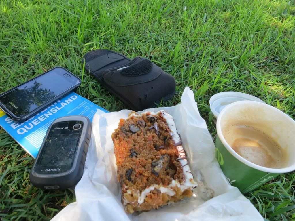
I was feeling pretty vulnerable without gaiters in all that long grass so decided that the sensible thing to do was give the Monsidale Creek section of the ride away. I back tracked then headed into Kilkoy(with a nice tailwind) for a coffee and slice of carrot cake as big as a house brick.

Now you could look on the re-routing as a major disaster, however I just saw it as a bit unfortunate. I was still pedalling along on an adventure, along roads that I had never ridden, taking in sights I had never seen so I was still happy with how things were going. Again, these navigational glitches would highlight areas that I needed to pay more attention to at the planning stage and identify potential traps in my GPS operation. As I have understood for years, you learn much better lessons from your failures that you do from your successes.
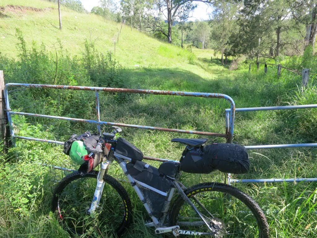
I was feeling pretty vulnerable without gaiters in all that long grass so decided that the sensible thing to do was give the Monsidale Creek section of the ride away. I back tracked then headed into Kilkoy(with a nice tailwind) for a coffee and slice of carrot cake as big as a house brick.
Now you could look on the re-routing as a major disaster, however I just saw it as a bit unfortunate. I was still pedalling along on an adventure, along roads that I had never ridden, taking in sights I had never seen so I was still happy with how things were going. Again, these navigational glitches would highlight areas that I needed to pay more attention to at the planning stage and identify potential traps in my GPS operation. As I have understood for years, you learn much better lessons from your failures that you do from your successes.
As I inhaled cake I made the most of having phone service by
checking my phone messages. Almost as soon as I had turned it on it rang! It
turned out to be Neil, just seeing how I was going and why I had missed the
turn at Louisavale Rd. I explained it and my intentions, then checked the other
ten or so messages that I had received while incommunicado.
I headed out of Kilkoy via Georges Creek Rd toward
Toogoolawah. It proved to be a quiet country road with nice scenery.


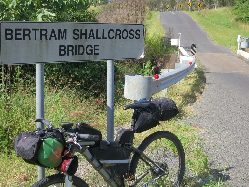
It also gave me an idea for a name for my bike.(not that I
have names for my bikes, but Bertram he shall be!)
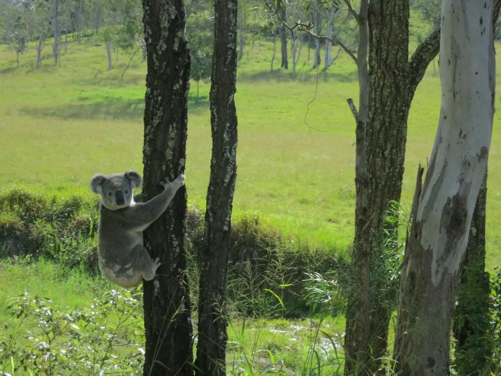
Rounding one corner I came up behind a koala walking along
the side of the road. As I stopped pedalling the Hope hub ratcheting scared it
back up the nearest gum tree. It just sat there about 4 feet off the ground looking at me as I passed by.

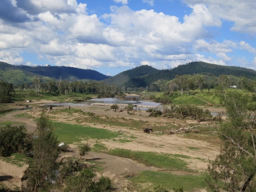
Rounding another bend and the Brisbane river was spread out
below me. It was amazing how wide it was and how eroded it had become after the
last few years heavy rain.

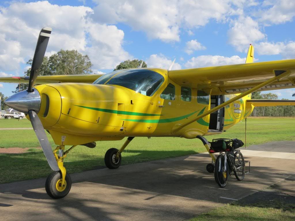
Making my way into Toogoolawah, I spied the sky diving
centre. Veering off the highway I cruised across their landing ground to check out the jump plane, a Cessna Caravan. The Caravan is a real workhorse of the skys
these days and its not every day you see one with such a garish paint job..

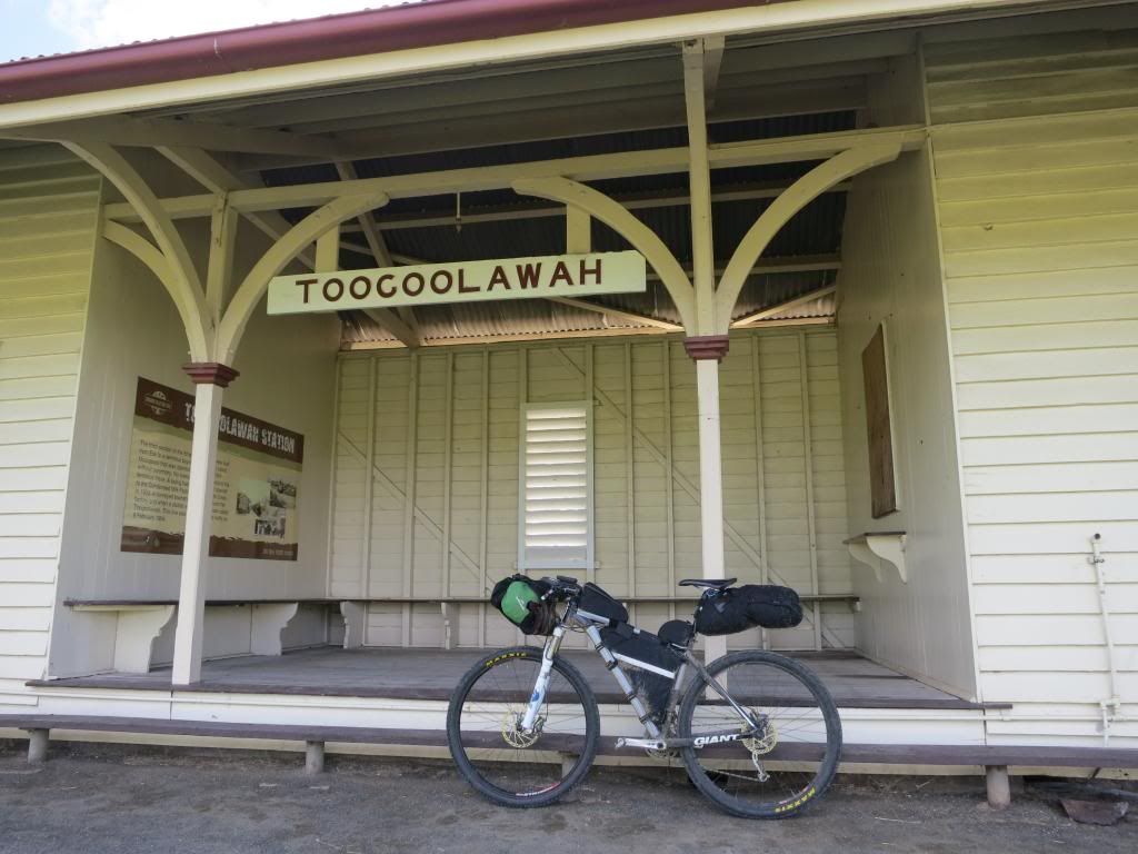
Rolling into Toogoolawah it was time for an ice cream. I had
travelled through several sections of road works where the road was being
resurfaced. The stop and go sign holders wouldn’t let me sneak past as “I might
slip on some gravel and hurt myself!” After riding 350 odd kilometres and
hiking a bike through some crazy country I found their nanny state mentality almost laughable. "More than me job's worth, mate" they all said. I was glad they were there to protect me from
myself!

Out of Toogoolawah, I proved them right by taking the first
railway bridge that ended in 8 foot high grass. Unable to find a way through and suitably humbled, I
backtracked and took the main BVRT. D’oh!

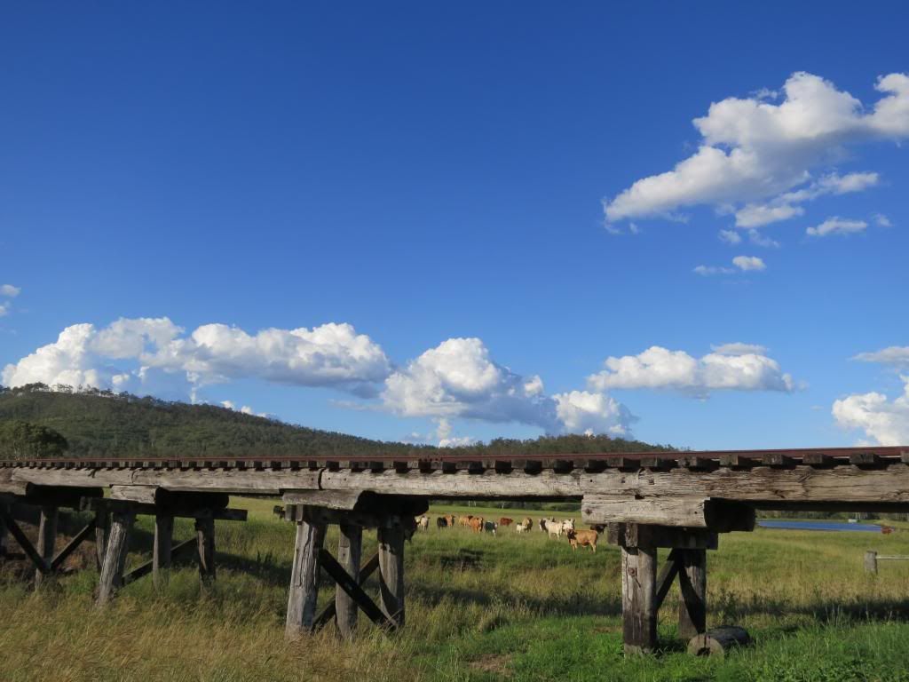
The Toogoolawah to Esk section of the rail trail was new to me. It
proved to be quite pleasant, apart from the long grass in places. I motored
along across and past some old rail bridges.
Coming into Esk I made a quick stock up at the local grocery
shop, where the check out chick was very pleasant to a smelly, middle aged
mountainbiker. A quick hobo shower in the local park next to the cenotaph, then I was back on the
bike to see how far I could get out the road before it got too late.

I particularly like the Mt Hallen section and was hoping to find a spot to camp along here.

I particularly like the Mt Hallen section and was hoping to find a spot to camp along here.
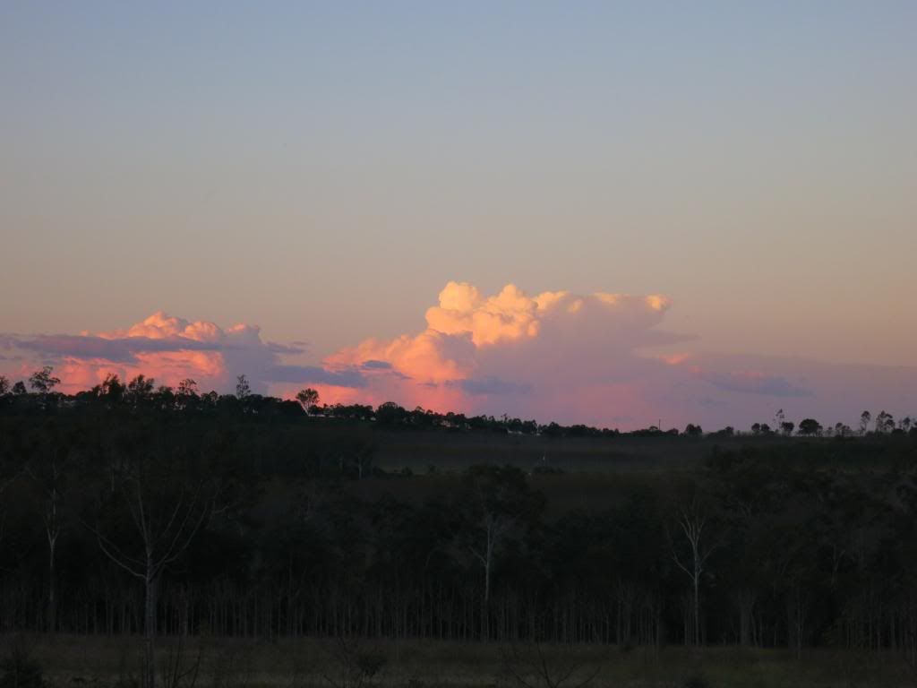
Pressing on while the sun went down proved to be extremely
beautiful riding. The colours, the flow and the temperature made for very
pleasant riding.

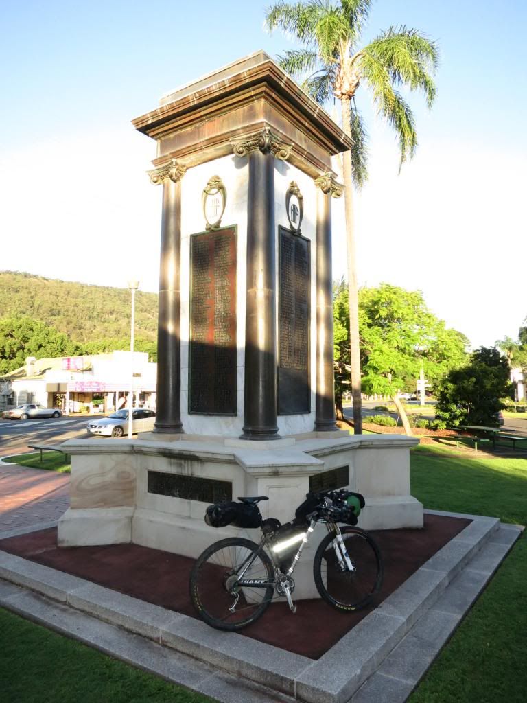
I kept going, crossing various bridges as dusk turned to
night. After a little more pedalling I found two likely trees to string my
hammock up between and made camp.

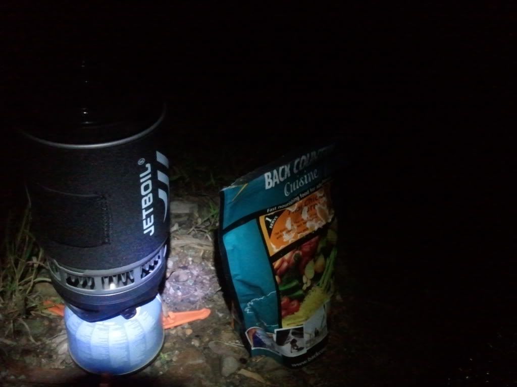
I was soon rehydrating a surprisingly delicious chicken curry underneath a
bright half moon. In a plus, by jumping around I could get a text message to
send, but not make a call. Almost a perfect location! Another 134km(84mi) with 1400m(4600ft) of climbing and I was
pretty knackered, so early to bed and all that…..

Stats for the day are.....
Only one more day to go before I needed to be home. I have done the Esk to home section of this ride before, so knew exactly where I was going. Still, it would be interesting to find out how much was left in the legs with the climb up into Brisbane Forest Park to come....

Cheers and thanks for checkin' in.


Bertram, a very noble name for your trusty steed!!
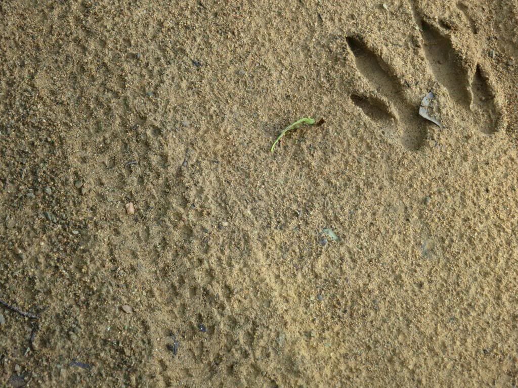
ReplyDeleteBeautiful photos. The country through there looks so nice. I have a silly Yankee questions though - what kind of animal tracks are in the photo of your bike tracks? (4th picture down)
That is my bike on the left and a kangaroo on the right.
DeleteA couldn't help but think a Triumph Tiger 800 would go very well on these roads..........
Ahhh that is why I didn't recognize it, no kangaroos here, lol.
Delete