Wednesday, May 29, 2013
Lost In Peru
I have been doing a few rides and stuff so will get together an update when I have some more time, but in the meant time, enjoy this amateur video. This one is a little more high end than the last.
Amazing vistas and you have got to see the look on the kid's faces toward the end.


Monday, May 27, 2013
Who Needs Stilnox?!?
One of the local guys here in Brisbane put this little film together out on the local trails. Very well made and humorous. Enjoy.
Friday, May 24, 2013
**Sigh**...Done.....


After 15 weeks and 662 hours of labour, we are finished! Thank you to all who assisted in the birthing of "Ginger Gully".
An extra special thank you to all of the regulars......
 |
| Derek |
 |
| Andrew |
 |
| Steve |
 |
| Andrew F |
 |
| Toby |
 |
| Master Trail Builder- Shane |
 |
| Geoff (or Gee Off!) |
 |
| Neil |
CHAMPIONS, ALL!
It is time to hang up the tools and RIDE!

Thanks to Floody for the photos. Appologies to the regulars that weren't there for the final BBQ and photo shoot.
Monday, May 6, 2013
3 Ring Circus
After working ALL weekend I managed to get out onto the trails for a head clearing ride this morning.
A bonus was that I could hit up 2 of the 3 competed new tracks on this side of town. Yes, trail building has been ongoing even though I haven't been blogging about it. To be honest, I didn't want to bore you with it any more as I have been working and haven't got along to a build day for about 3 weeks now. The only thing worse than trail building blogs is trail building blogs without photos.
That said, I managed to ride the Resurrection Part B trail (we need a name for this thing) this morning and the guys had made good progress on Saturday.

It is amazing how dusty the ground. All of that moisture has gone.

This new section is a tough climb and I am not sure how popular it will be with riders as a two way trail. Time will tell.
Heading over to Daisy Hill I first had a look at a new trail that has been cut to replace one that was closed due to the owners of the block finally developing it. The guys had a good turn out of volunteers and have as much trail in two Sundays as we have got in 3 months of Saturdays. I wish we could just mow our trail in!


Good work guys and awesome signage.
From "Mad Max" I then headed over toward the new "Glider" trail. The guys put the finishing touches on the first section last Friday afternoon. It looks like the trail has had plenty of traffic over the weekend and it rides very nicely. It will suit beginners right up to experienced riders, just by adding speed.
I particularly like the huge rock that they winched into place on the trail. It creates an awesome, easily ridden feature and "makes" this section of the track.

The local council have provided a small container to hold the trail building gear so there will be no access issues. I think the naming of the group is a bit harsh though?!

By the time I headed for home my mental focus had opened up from being 2 inches in front of my front wheel to well down the trail, where it should be. I have been feeling a distinct lack of love for all things MTB the last few weeks and today was the first time since my bike packing trip that I have enjoyed myself on the bike.
Too much of a good thing? Burnout? Too much work? I am not sure, but maybe a combination of all 3. I have a few more weeks of working weekends so we will see what next month's roster brings. In the mean time, here is to more enjoyment on the bike.

Cheers.
Monday, April 29, 2013
SEQ Bike Packing Trip Part 4
....continued from Part 3....
Not setting an alarm and just waking up with first light worked a treat. I felt pretty refreshed after another ten hours sleep. I don't know how the Tour Divide riders do it on four hours sleep a night! They ride about double my daily distance and at elevations up around 8 to 10 000ft.
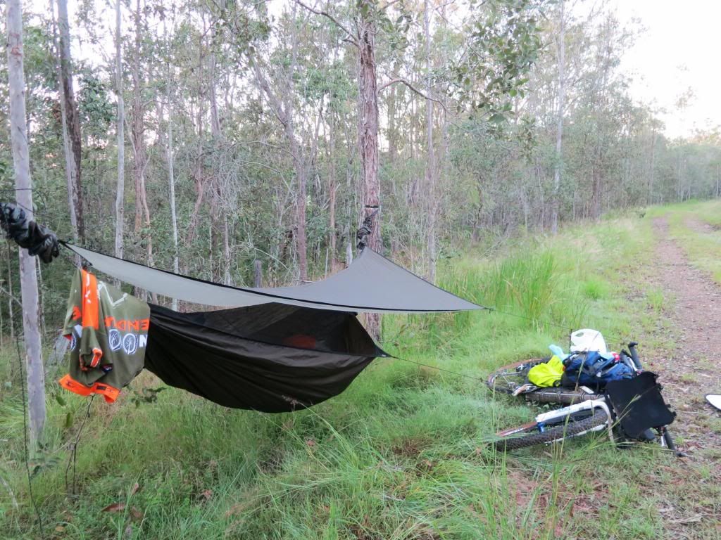
I was packed up quickly and with an eye on some breakfast in Fernvale, about 40km(25mi) distant, started pedalling into the rising sun.

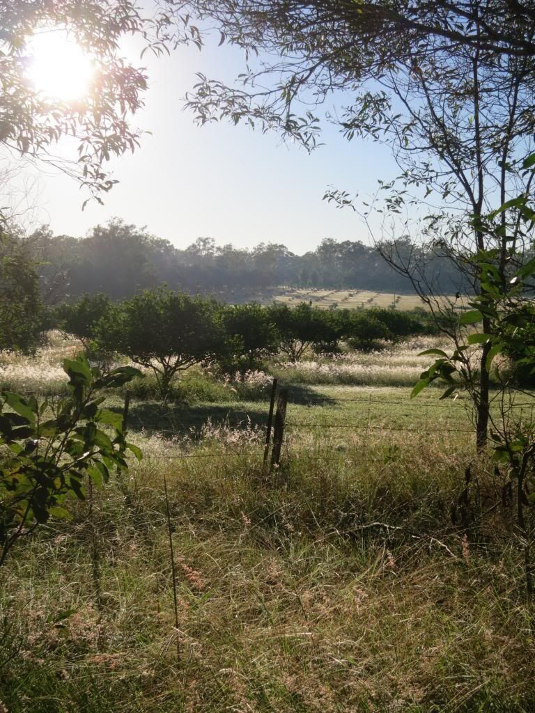
I had indulged in the pure luxury of clean, DRY socks this morning and they felt great! Yep, they felt great for about the first 3km until the long grass, wet with dew, proceeded to soak them. They were saturated by about the 4km mark.
Still, it was a beautiful, clear morning and it was a pleasure to be on the bike again.
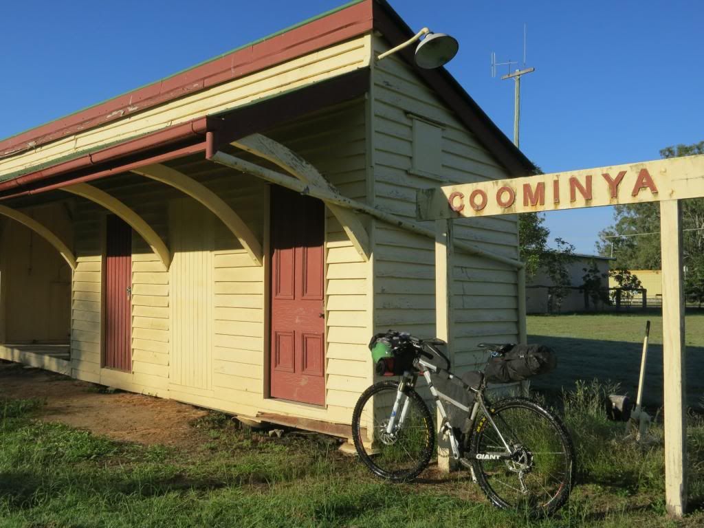
I was into and out of Coominya pretty quickly. I didn't even stop in at the shop this time. Surprisingly I didn't feel hungry at all. After being ravenously hungry on the first two days, by day 3 and 4 my hunger seemed pretty much back to normal. Maybe I was acclimatising to the riding?
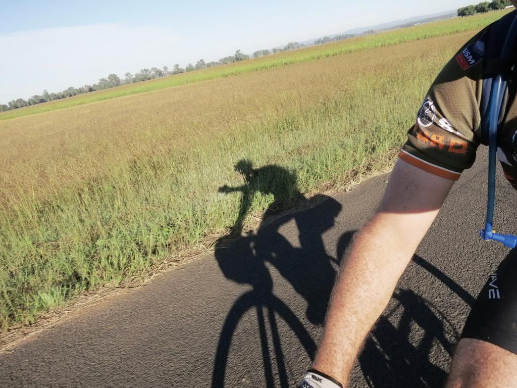
Being mostly a gentle downhill ride I was making good time while the shadows were still long.
Just outside of Lowood I spotted another rider coming toward me. I wondered if Dean0 had wagged school and come out for a ride. Then I could see that the guy had a roll on his bars and a seat bag. Total overkill for a day ride so it must have been someone else.
It turned out to be a guy called Gavin. He had ridden from Nerang the previous day and was heading to Esk today, then back down to Nerang. He said a mate had talked him into doing the Tour Divide in the US this June and he was trying to get a few training rides into his legs. With only two months to go he was getting nervous about his lack of riding. He mentioned riding in South America and from his lean, cyclist look, I guessed that he had some reasonable experience at long distance riding and would know what he was up against. Good luck Gavin!
After chatting for 20 minutes or so I was a bit behind schedule now. I steamed into Fernvale intent on rustling up some eggs on toast and a decent coffee. This I managed to do at the fine establishment below.
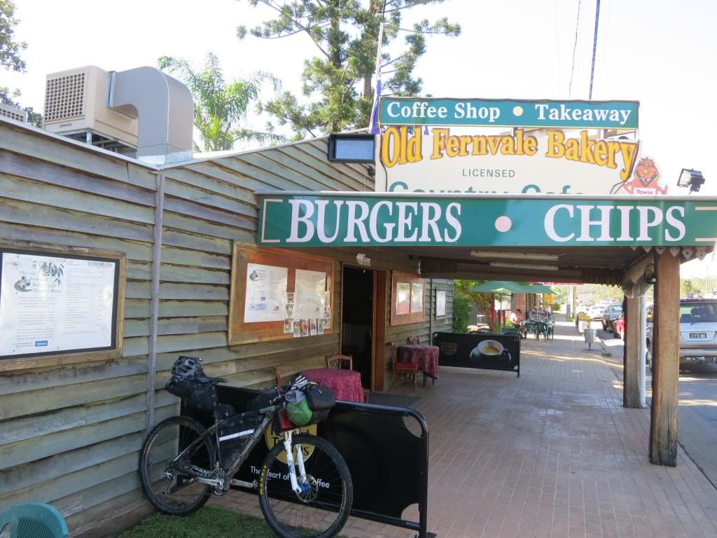
As I said, I have done this section of the ride several times and it is amazing how much local knowledge improves your judgement. I was soon powering along Banks Creek Rd toward D'Aguilar National Park, taking in the (deep) creek crossings and only slightly worried about passing through the "hippy" camp at the end of the road.
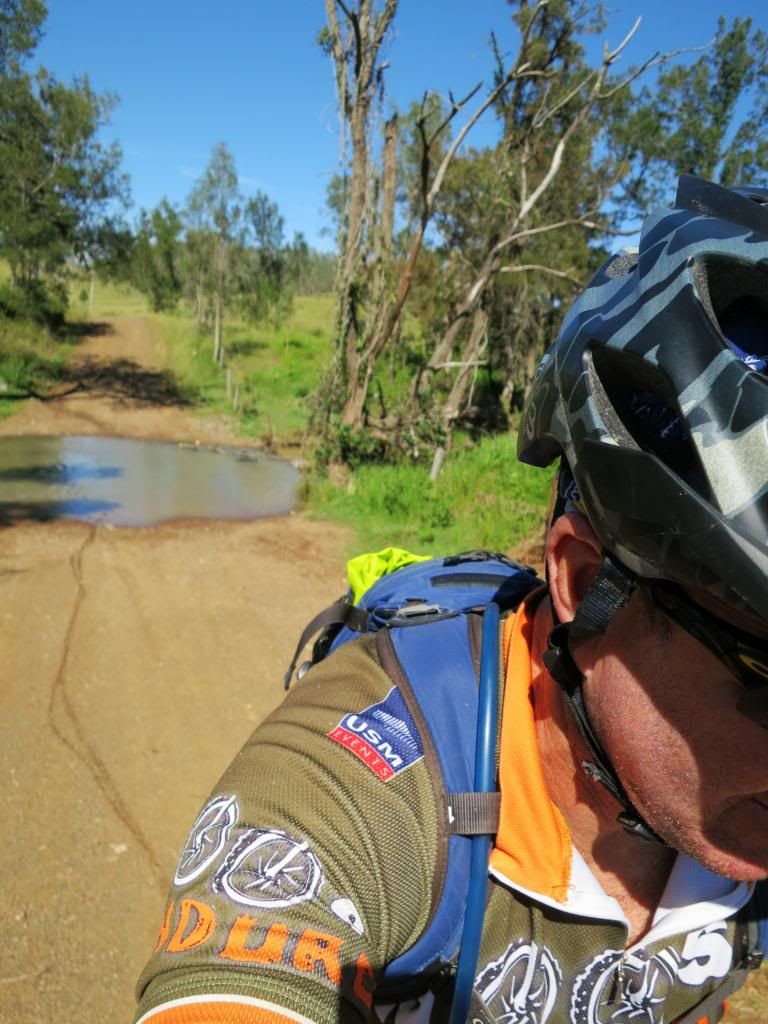
Not that the hippys are unfriendly. I just don't like going through private property uninvited. I wouldn't like a bunch of riders just cutting through my yard either.
Anyway, arriving at their gate I found it wide open with evidence that a car had driven out. "Good", I thought to myself. "Nobody around, so I'll just slip through unnoticed". Well, that was until some mean 'ol dog began barking at me. There was no way I was going to slip past him!
Soon a guy came out to see what the ruckus was about. I waved and explained that I was just going up to the national park and would he mind if I passed through his block, including in my explanation that the couple at the top of the block had offered an open invitation to come through any time. He said "sure, no problem" then we chatted for a while about the weather, my bike and living on his block. I have forgotten his name, but if you are riding out this way, make sure you say a friendly "Hi" to the owners and ask permission to pass through.
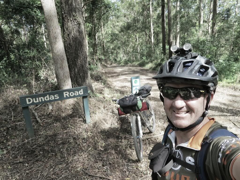
Barking 'ol dogs behind me, it was now the tranquility of D'Aguilar National Park that I heard. Plus my gasping for breath. I was making my way up "Whoa Boy", the notoriously steep climb/descent that is at the end of Dundas Rd. There are varying counts of the water bars that cross this track to prevent erosion. Today I played a rhyming game to help me keep track of the count as I battled up the climb and the wildlife did it's best to distract me.
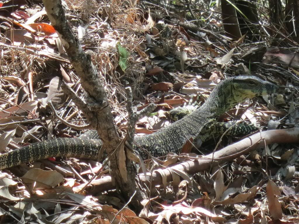
It went something like "two, tie my shoe", "five, feeling alive" then 'thirty two,...um...tie my shoe", "thirty five, still alive". Yeah, I was knackered and struggling for ideas but I didn't lose the count. I got to "fourty eight, shut the gate!" and I was at the top. Therefore, I make the waterbar count 48 for the climb. That settles it......
Dundas Rd has some "rolling hills" along it's length and while I was reduced to walking up some of the really steep rollers, I mostly just stood up and mashed the pedals, single speed style. I was amazed that I could still muster this energy but also pleased to see that it netted a faster climbing speed and no pain for my legs. I was pleased to reach the rubbish tip at the top of Dundas Rd, for now the cafe's on Mt Nebo were just a few short minutes away.
A few short minutes and some considerable PAIN away that is! I don't like riding on the road up here on Mt Nebo because the road lacks any shoulder and the large number of motorbikes and cars that like to treat it as their own private race track make being a hood ornament a very real possibility. Just watch this video to see what I mean(note: not here in AUS, somewhere in California but I don't want to be that guy).
Luckily, the pain wasn't from wearing a Deadcati up the backside but because I chose to take Hammermeister Rd and avoid the main road. I was soon at the cafe' enjoying a pot of tea and the chocolate hedgehog slice that I had hauled up the hill from Fernvale bakery as a reward for making it.
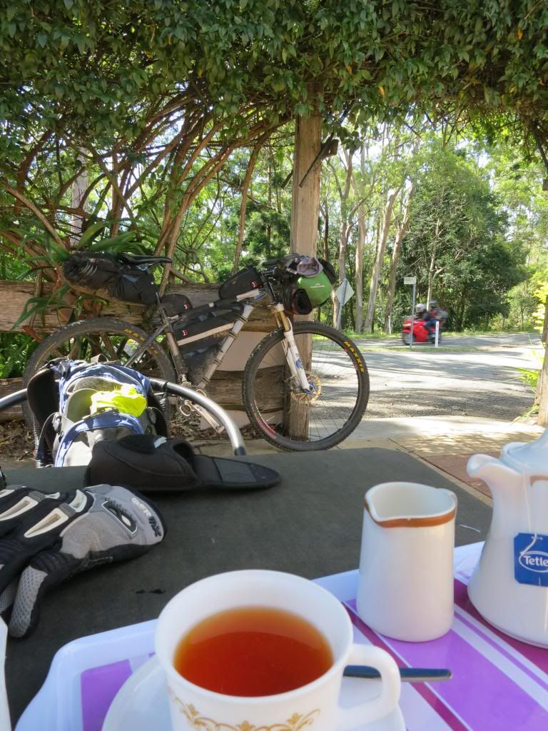
The run down South Boudary Rd was fun with the top section providing big smiles as my supertanker ploughed down the hills and managed to crest the next rise without too much pedalling effort. I was pretty much head down, bum up for the next few hours as I carved through a few of the single tracks in Gap Creek Reserve.
Hitting the streets in suburbia here is always a bit surreal after hours in the "bush" but I was pleased to be rolling along easily. I even spotted a mountain biker up ahead whom I guess was heading home from a single track session. As the road tilted up, I decided to go all "attack" on his arse and get past him. I actually managed to blast past pretty easily which was pleasing because this was the roughly the 100km(62mi) point for the day and the 480km(300mi) mark for the 4 days.( I learned later that his name was Mark. he saw the blog post on mtbdirt.com.au!)
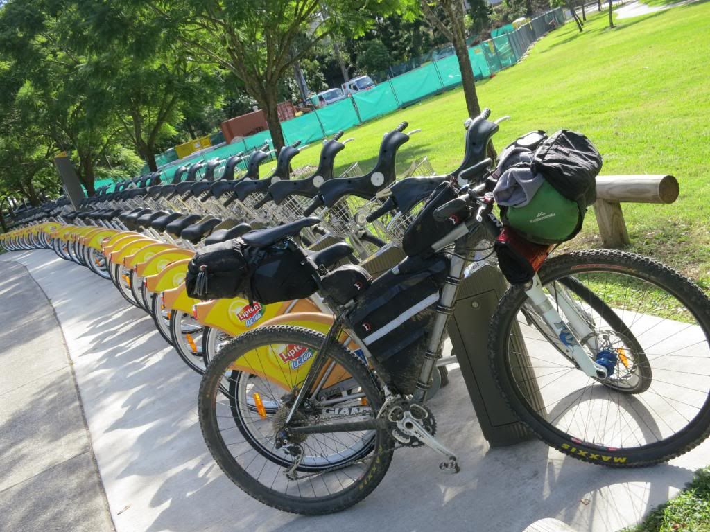
I deviated slightly so that I could ride along South Bank to take in the views and top up my water. Talk about surreal. I had been in full on "bush" just 30 minutes prior!
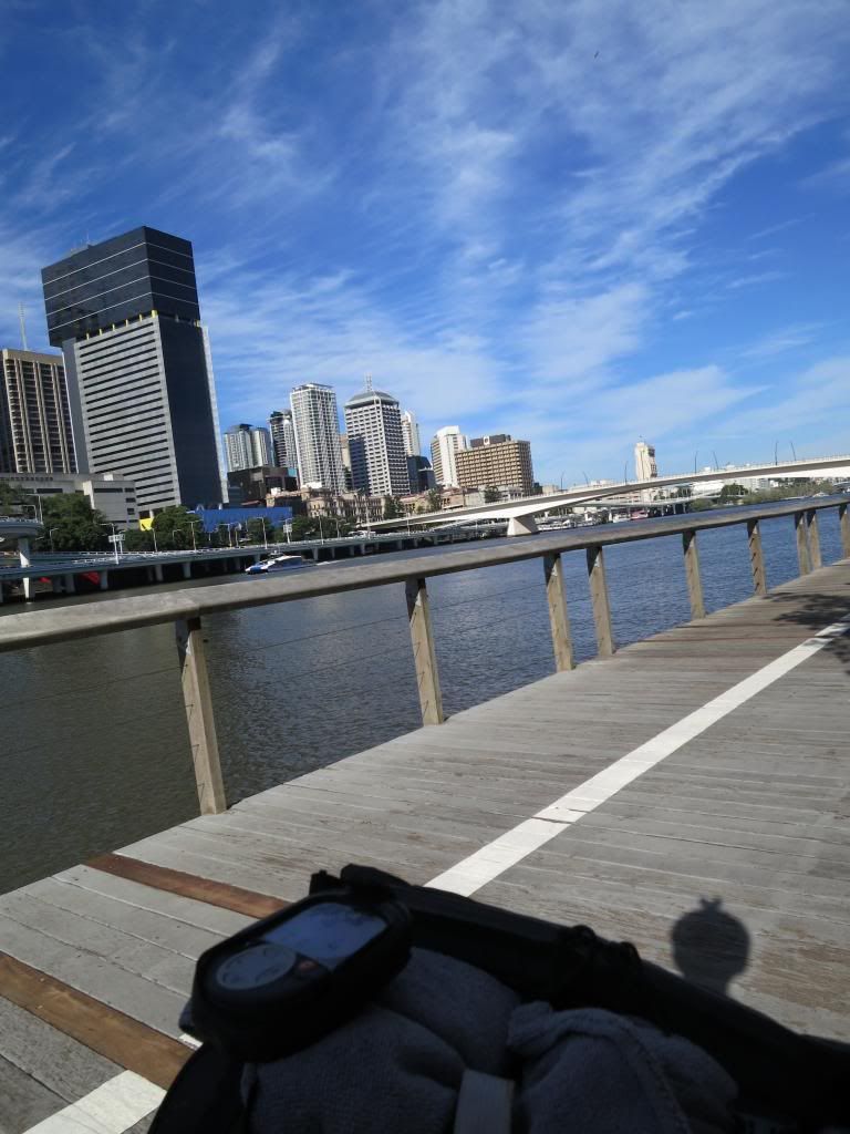
The run along the south east freeway was pretty mundane as usual with just a chocolate milk stop at a local petrol station where I got to witness some outstanding driving skills/attitude displays by "school mums" on their way home with the kids. Scary stuff!
I decided to finish the ride by cutting back through Daisy Hill Forest and dropping down Wallum Froglet in Cornubia. I bumped into Oppy, one of the trail building gurus here in Brisbane as he unloaded his bike for a ride in Daisy Hill and chatted (rambled like a hobo on a bike) for 20 minutes or so. Thanks for putting up with me Oppy!
The run down Wallum Froglet was pretty sweet and I stopped at the bottom to shut the GPS down and enjoy the quiet of the bush (only just heard over the tinitis from wind noise in my ears!).
I had made it home after riding 515km (322mi) and climbing 8100m (26 600ft)! When I mapped out the route I have some misgivings as to whether I could ride the it. As it turned out, I cut about 100km(62mi) from it due to a lack of time and navigation problems, so I guess if I was being pedantic, I couldn't do it in 4 days. I am very happy with the effort regardless and with a bit less sleep, could have done the total distance. But then, I like my rest.....
I will pay more attention to the navigation in the planning phase next time and will have to look into why my Garmin eTrex didn't perform the way I had expected. Note, this is not to say it did anything wrong. It just didn't do what I expected!
My Giant XTC29er worked perfectly. There were zero mechanicals, not even a flat tyre.
I must thank Neil for his track logs. Without them I couldn't have even contemplated this ride. Also for his phone advice when I discovered my route shortcomings on the GPS and his very generous offer to drive up and meet me with another GPS. That was above and beyond the call! Thank you.
Physically I felt pretty good and the lack of rest I got in the following days testified to that. Normally I would have broken down with a cold or something but this time I was at trail building next morning pushing barrows of rock, then kids sport and catching up on work around the yard. That is not to say I didn't look shagged, but I felt reasonably ok.
Also, a massive thank you to my lovely, understanding wife for letting me go for 4 days to play boys on my bicycle. Not many women would give their bloke that much leeway. Thanks Rebecca.
I think this is my favourite photo from the trip. It is at the cafe' on Mt Nebo when I realised that I had done it. I knew I could finish from here. I felt great.......
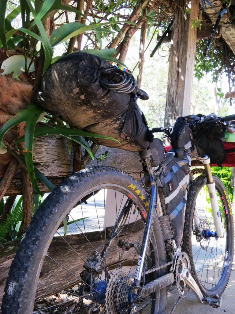
Thanks for reading. I hope you enjoyed it as much as I did.
Thursday, April 25, 2013
SEQ Bike Packing Trip Part 3
....continued from Part 2.....
As I lay in my sleeping bag in “the unit”, listening to the
rain on the roof, I was wondering what effect this might have on the river
levels at the numerous crossings I was to negotiate today? I was also pleased
that I was sleeping in a warm, dry place and not having to pack heavy, wet gear
onto my bike. Yesterday taxed the legs a lot and I didn’t need any more weight
to drag around. Yes, it was a good call
to stay in Jimna.

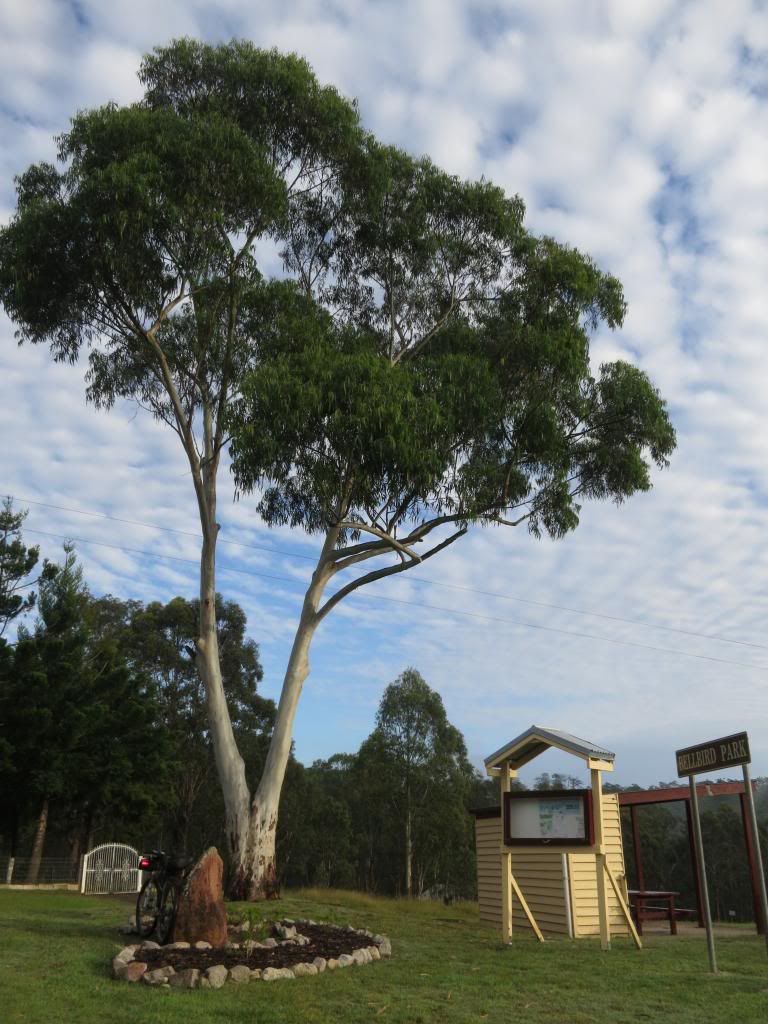
Heading out of Jimna this morning the legs felt a bit
“doughy”. Yesterday was a pretty tough day with all of the climbing and I was
unsure what today would bring. It might be 90km to Nanango, it might be 115km
to Yarraman or it might be 140km to Blackbutt with whatever climbing that
brought. The trouble with these plans was that it meant I would be starting
from Blackbutt at best on the last day. That would give me about 200km to ride
on the last day. Not really possible. The next best option would be to arrange
a pick up at Fernvale, something I wasn’t keen to do for two reasons. One, I
didn’t want to trouble anyone with having to pick me up and two, I really
wanted to complete the ride from and back to, my front door.
As I warmed up on the few kilometres out of Jimna toward the
Monsidale Rd turnoff I mulled over what route I should take. I stopped briefly
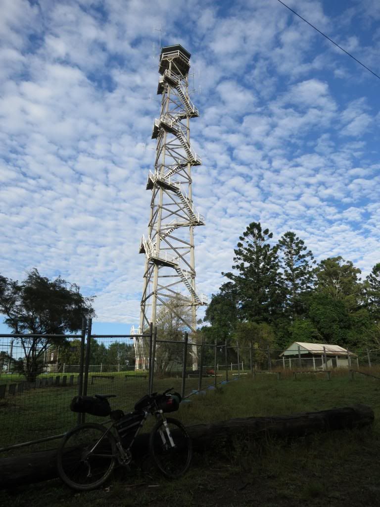
to look at the Jimna fire tower. A very impressive timber structure.

Dropping into Monsidlae Rd I enjoyed the long downhill
coast, but as always, in the back of my mind was wondering when I would have to “pay the
piper” for this descent.


It felt a bit like England Creek Rd in Brisbane Forest Park
and I notice that after the overnight rain I was amongst the first road users
for the day.

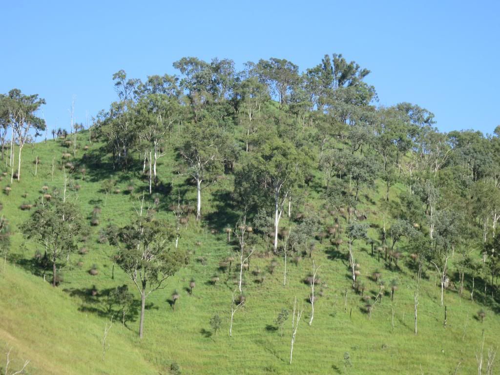
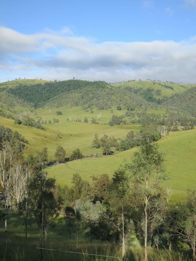
The countryside opened out to farming land with views that
went on forever.

I was expecting a lot of river crossings today and the first one was encountered just near Monsidale. It was a very civilised concrete crossing that was covered in sand so that it felt like pedalling in custard to get across it. Wet feet. Before 8am. Again.

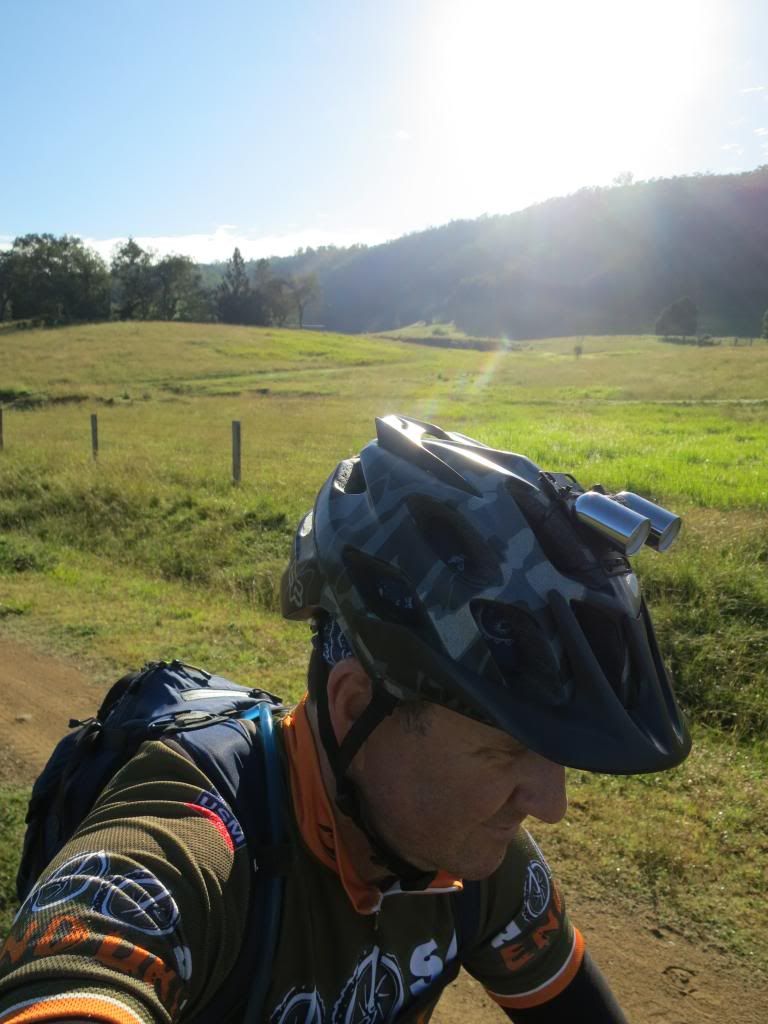
I was expecting a lot of river crossings today and the first one was encountered just near Monsidale. It was a very civilised concrete crossing that was covered in sand so that it felt like pedalling in custard to get across it. Wet feet. Before 8am. Again.

Not to worry though. It was another cracking clear morning.
I wasn’t at work so what could possibly be wrong with the world? (Apart from
the Boston Marathon bombing which I was blissfully unaware of). Just a bike to
pedal and lots of photos to take.

I had made a decision regarding the route for the day. I
would turn left on the Linville to Murgon Road instead of right. That would see
me tracking straight to Linville and save me about 100km(62mi). While slightly
disappointed at missing this section, I simply didn’t have the time to include it
in this trip. Another time perhaps?

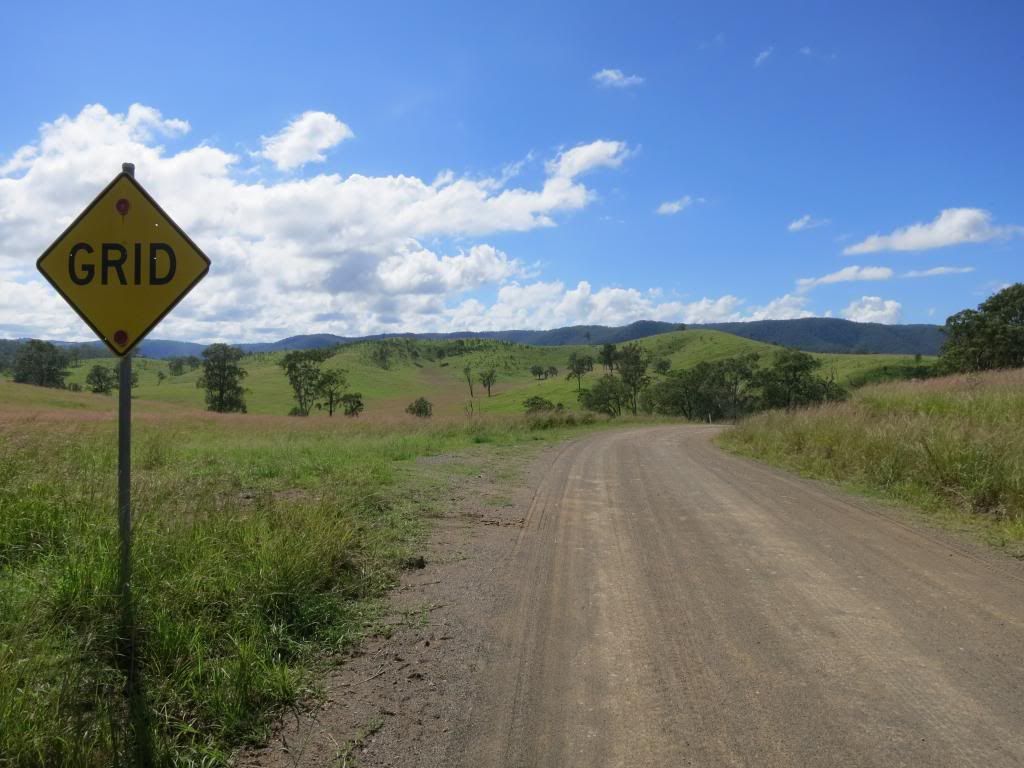
As I came to an intersection that was signposted as
Louisavale Rd I confidently motored past as my road map showed that road
curling back up to the north. I needed to take Monsidale Rd to the west, along
Monsidale Creek. Reinforcing the idea was that the Louisavale Rd sign had a “no
through road” sign attached to it. This would be the first time I obeyed an
advisory sign on this trip and I should have stuck to my "normal" policy here.


Yep, of course that was the road I was meant to take to get
to Monsidale Creek! I could see a road on my gps that headed in the correct
direction and fell into a basic map reading trap of making the map fit the
surroundings and not the surroundings fit the map. A subtle but important
point.

So, after pedalling for another 30 minutes or so, I began thinking that the Louisavale Rd turn had to be the one, but as I rocketed down a range of hills was reluctant to make the climb back up to find out.
So, after pedalling for another 30 minutes or so, I began thinking that the Louisavale Rd turn had to be the one, but as I rocketed down a range of hills was reluctant to make the climb back up to find out.
Arriving at the “next road” that I had seen on the gps
revealed it to be not much more than a track. I spent some time here on the
corner of Tableland Rd ascertaining that it would link back to Louisavale Rd.
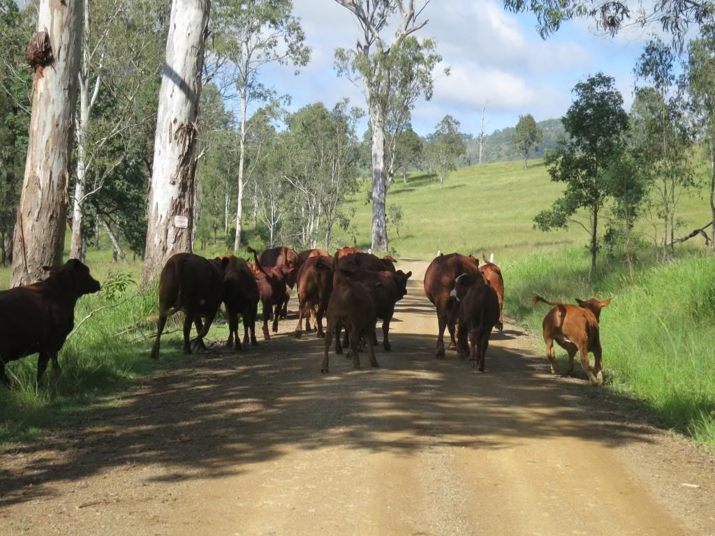
It would, eventually, so I headed off along it all the while watching a guy on
a horse trying to get a small herd of cattle through a gate, without much
success. I thought I knew a few swear words but boy, was I getting an
education! It also made me feel much better about being a bit off track.


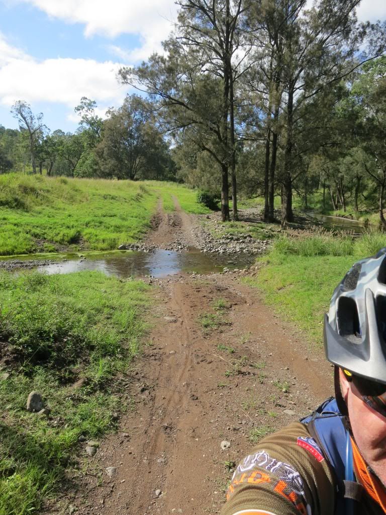
The short version of Tableland Rd is that it slowly
disappeared into a creek line with chin deep grass. Yes, that is the "road" below.

I was feeling pretty vulnerable without gaiters in all that long grass so decided that the sensible thing to do was give the Monsidale Creek section of the ride away. I back tracked then headed into Kilkoy(with a nice tailwind) for a coffee and slice of carrot cake as big as a house brick.

Now you could look on the re-routing as a major disaster, however I just saw it as a bit unfortunate. I was still pedalling along on an adventure, along roads that I had never ridden, taking in sights I had never seen so I was still happy with how things were going. Again, these navigational glitches would highlight areas that I needed to pay more attention to at the planning stage and identify potential traps in my GPS operation. As I have understood for years, you learn much better lessons from your failures that you do from your successes.
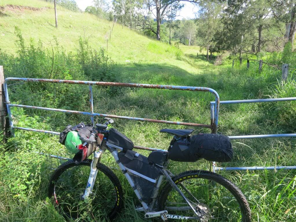
I was feeling pretty vulnerable without gaiters in all that long grass so decided that the sensible thing to do was give the Monsidale Creek section of the ride away. I back tracked then headed into Kilkoy(with a nice tailwind) for a coffee and slice of carrot cake as big as a house brick.
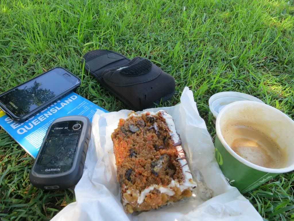
Now you could look on the re-routing as a major disaster, however I just saw it as a bit unfortunate. I was still pedalling along on an adventure, along roads that I had never ridden, taking in sights I had never seen so I was still happy with how things were going. Again, these navigational glitches would highlight areas that I needed to pay more attention to at the planning stage and identify potential traps in my GPS operation. As I have understood for years, you learn much better lessons from your failures that you do from your successes.
As I inhaled cake I made the most of having phone service by
checking my phone messages. Almost as soon as I had turned it on it rang! It
turned out to be Neil, just seeing how I was going and why I had missed the
turn at Louisavale Rd. I explained it and my intentions, then checked the other
ten or so messages that I had received while incommunicado.
I headed out of Kilkoy via Georges Creek Rd toward
Toogoolawah. It proved to be a quiet country road with nice scenery.


It also gave me an idea for a name for my bike.(not that I
have names for my bikes, but Bertram he shall be!)
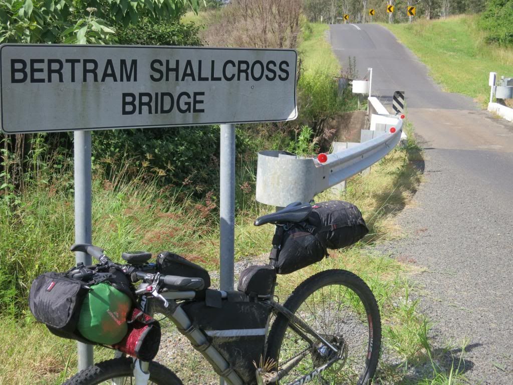
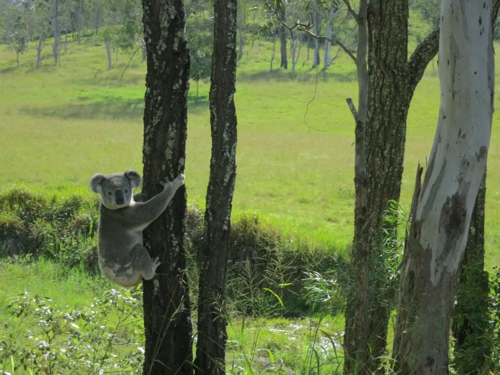
Rounding one corner I came up behind a koala walking along
the side of the road. As I stopped pedalling the Hope hub ratcheting scared it
back up the nearest gum tree. It just sat there about 4 feet off the ground looking at me as I passed by.

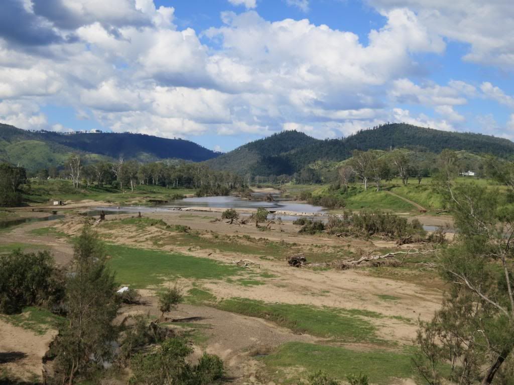
Rounding another bend and the Brisbane river was spread out
below me. It was amazing how wide it was and how eroded it had become after the
last few years heavy rain.

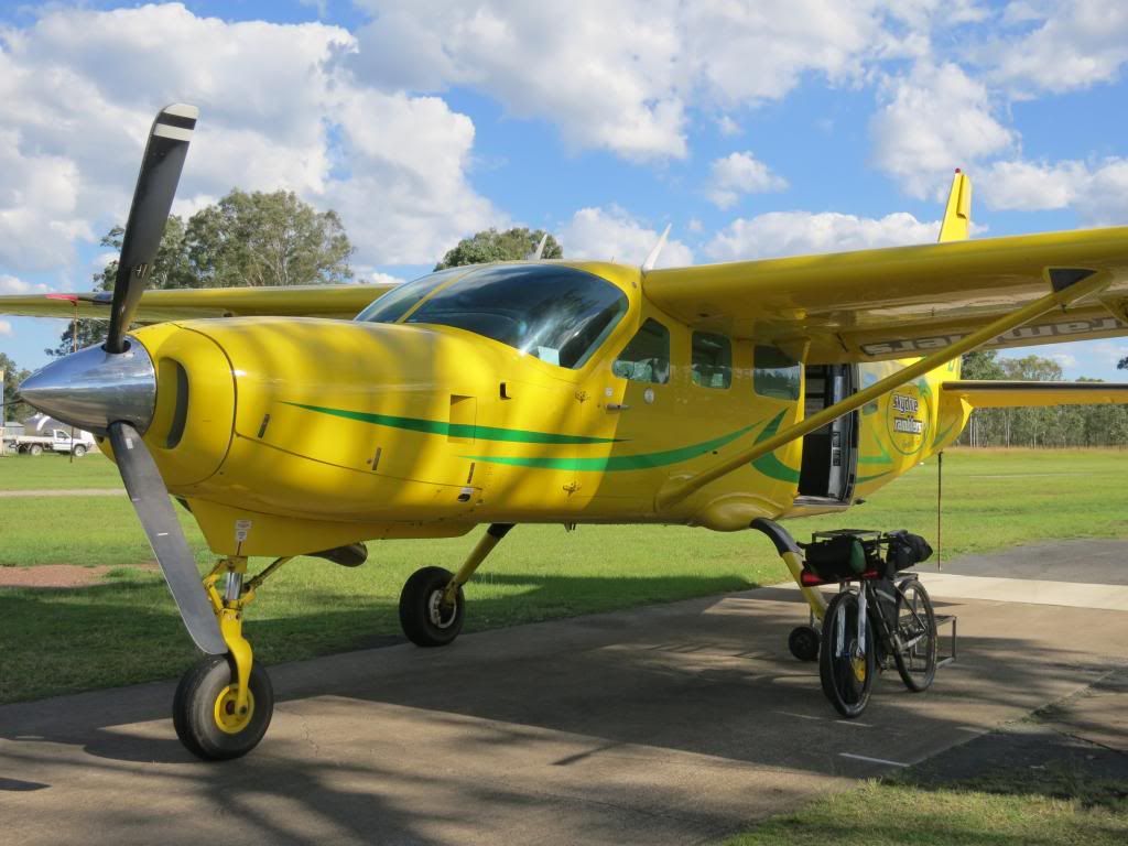
Making my way into Toogoolawah, I spied the sky diving
centre. Veering off the highway I cruised across their landing ground to check out the jump plane, a Cessna Caravan. The Caravan is a real workhorse of the skys
these days and its not every day you see one with such a garish paint job..

Rolling into Toogoolawah it was time for an ice cream. I had
travelled through several sections of road works where the road was being
resurfaced. The stop and go sign holders wouldn’t let me sneak past as “I might
slip on some gravel and hurt myself!” After riding 350 odd kilometres and
hiking a bike through some crazy country I found their nanny state mentality almost laughable. "More than me job's worth, mate" they all said. I was glad they were there to protect me from
myself!

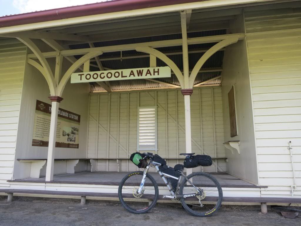
Out of Toogoolawah, I proved them right by taking the first
railway bridge that ended in 8 foot high grass. Unable to find a way through and suitably humbled, I
backtracked and took the main BVRT. D’oh!

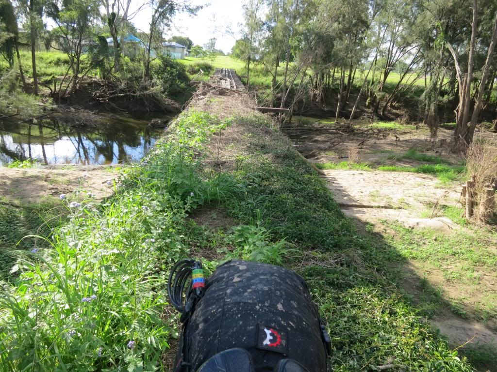
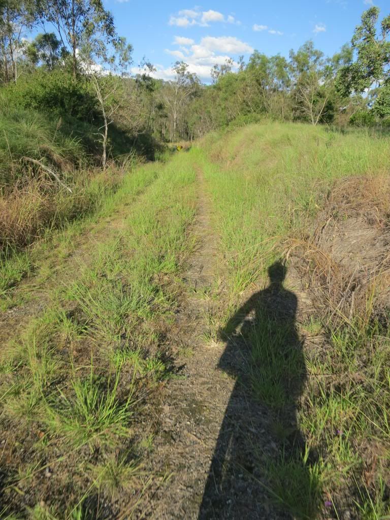
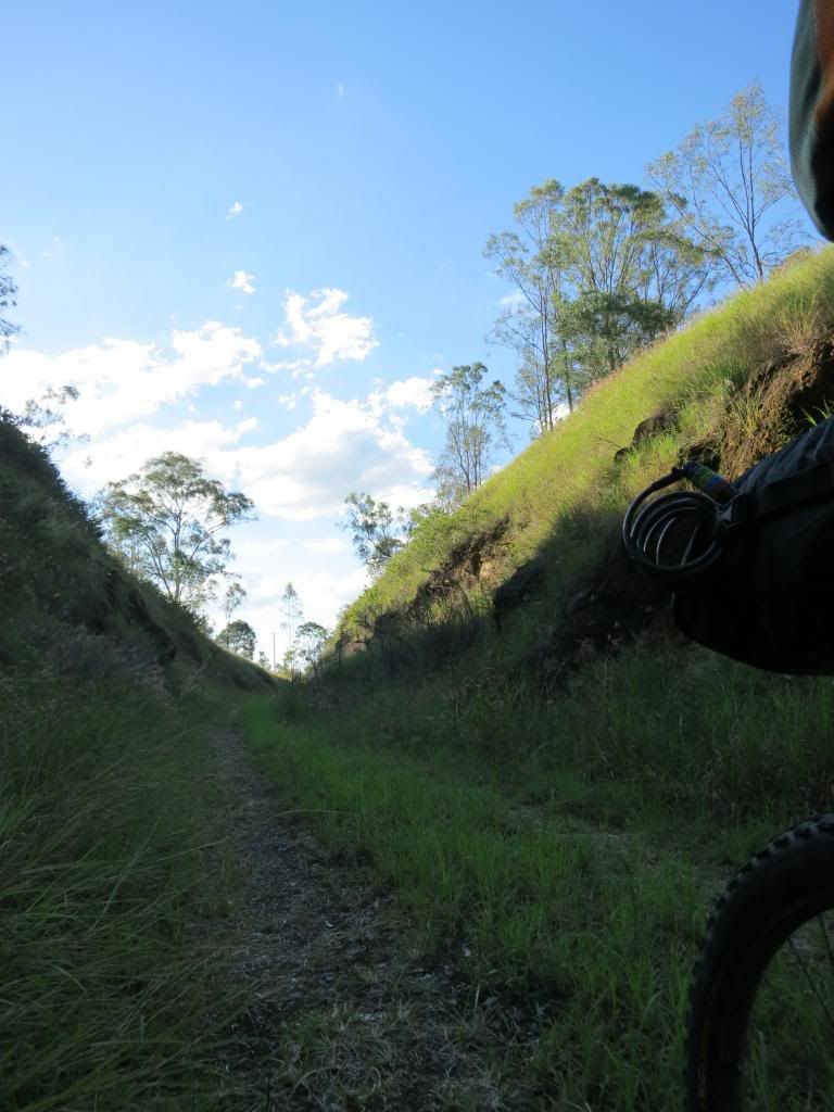
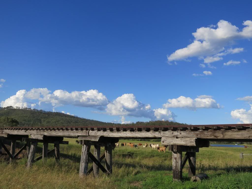
The Toogoolawah to Esk section of the rail trail was new to me. It
proved to be quite pleasant, apart from the long grass in places. I motored
along across and past some old rail bridges.
Coming into Esk I made a quick stock up at the local grocery
shop, where the check out chick was very pleasant to a smelly, middle aged
mountainbiker. A quick hobo shower in the local park next to the cenotaph, then I was back on the
bike to see how far I could get out the road before it got too late.

I particularly like the Mt Hallen section and was hoping to find a spot to camp along here.

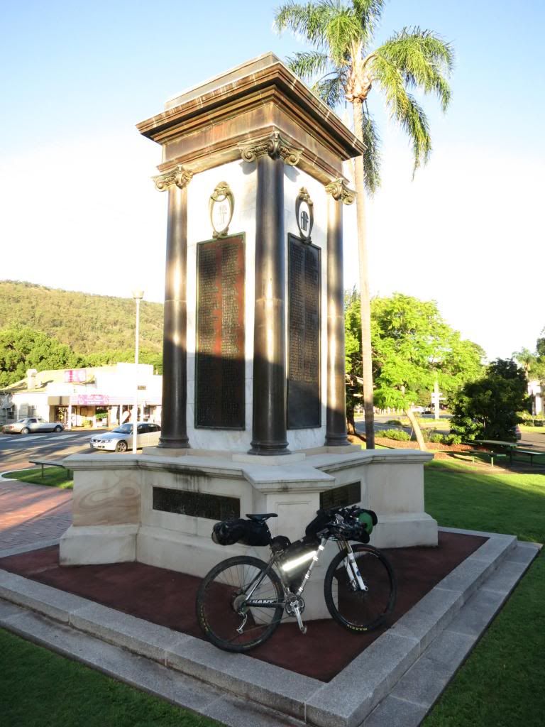
I particularly like the Mt Hallen section and was hoping to find a spot to camp along here.
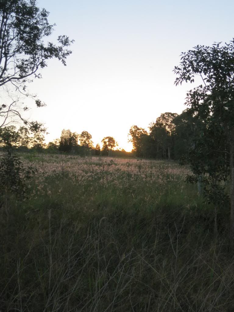
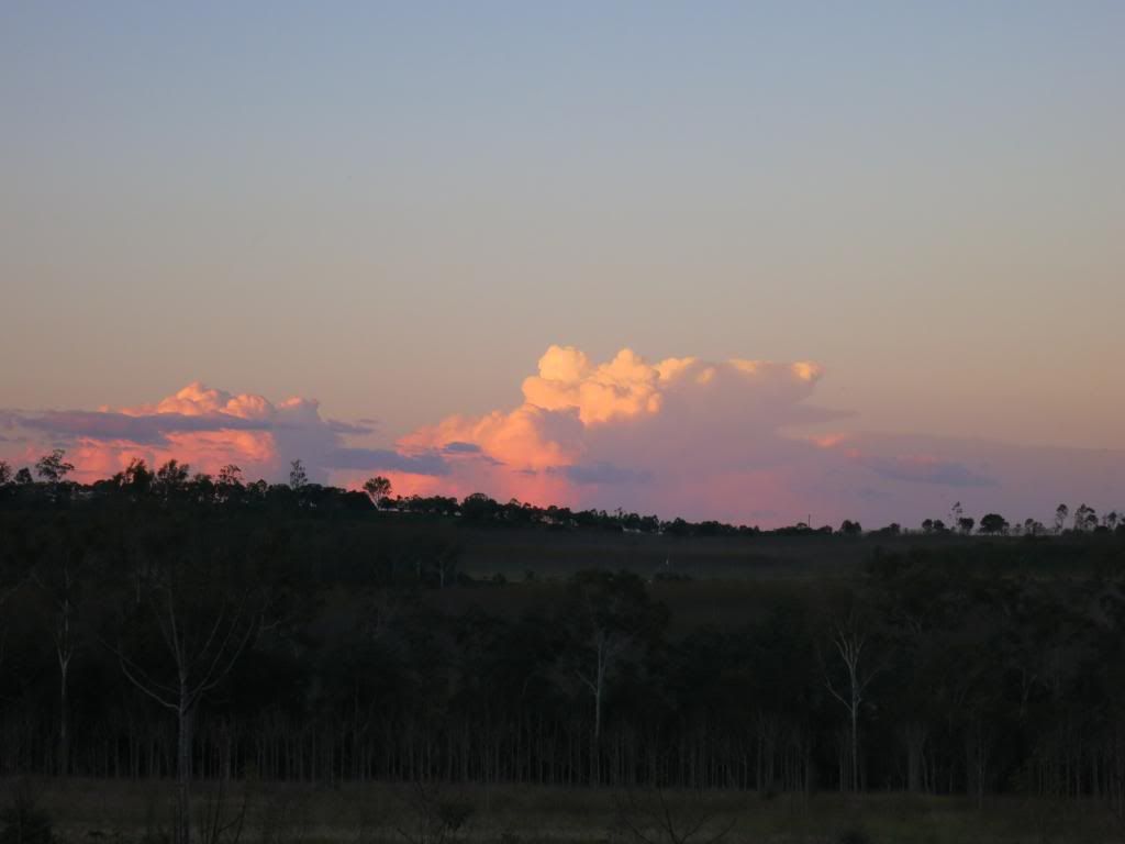
Pressing on while the sun went down proved to be extremely
beautiful riding. The colours, the flow and the temperature made for very
pleasant riding.

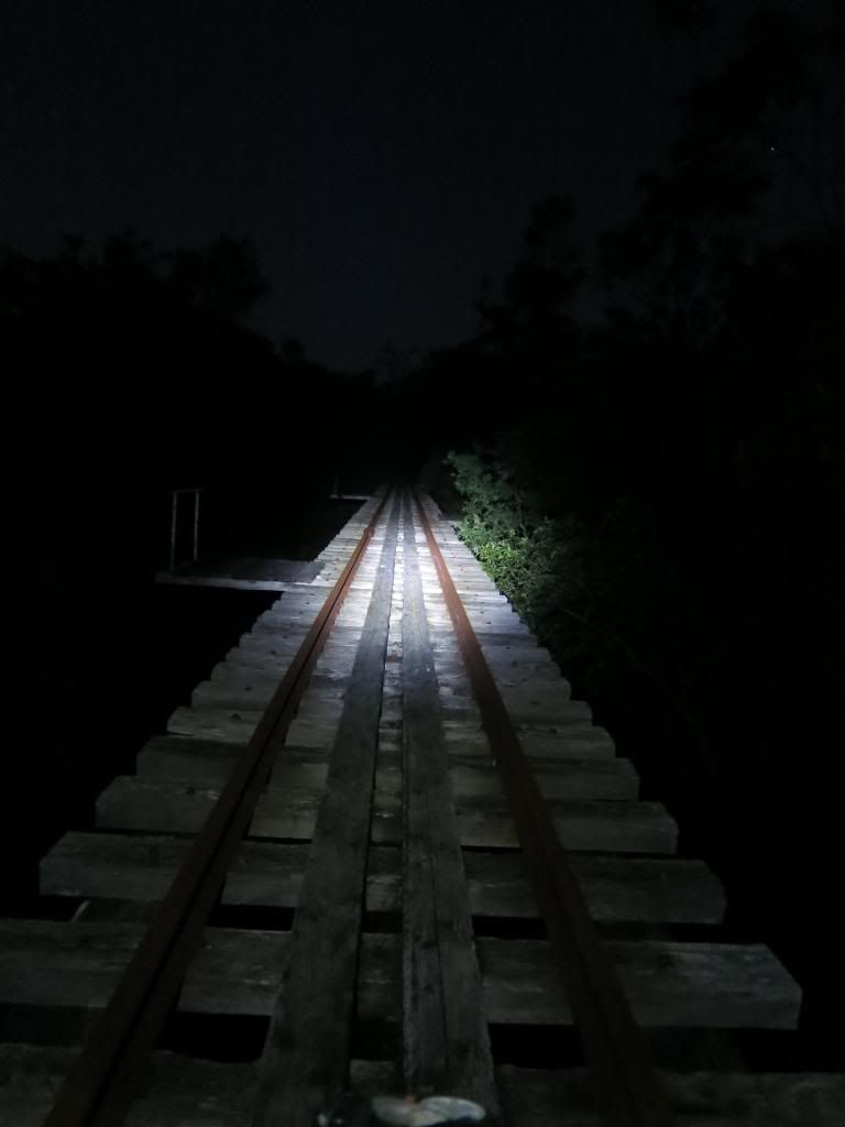
I kept going, crossing various bridges as dusk turned to
night. After a little more pedalling I found two likely trees to string my
hammock up between and made camp.

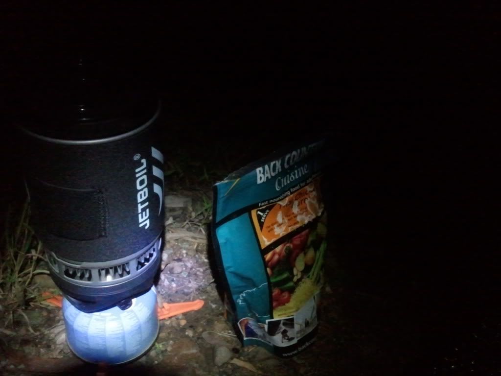
I was soon rehydrating a surprisingly delicious chicken curry underneath a
bright half moon. In a plus, by jumping around I could get a text message to
send, but not make a call. Almost a perfect location! Another 134km(84mi) with 1400m(4600ft) of climbing and I was
pretty knackered, so early to bed and all that…..

Stats for the day are.....
Only one more day to go before I needed to be home. I have done the Esk to home section of this ride before, so knew exactly where I was going. Still, it would be interesting to find out how much was left in the legs with the climb up into Brisbane Forest Park to come....

Cheers and thanks for checkin' in.
Subscribe to:
Posts (Atom)